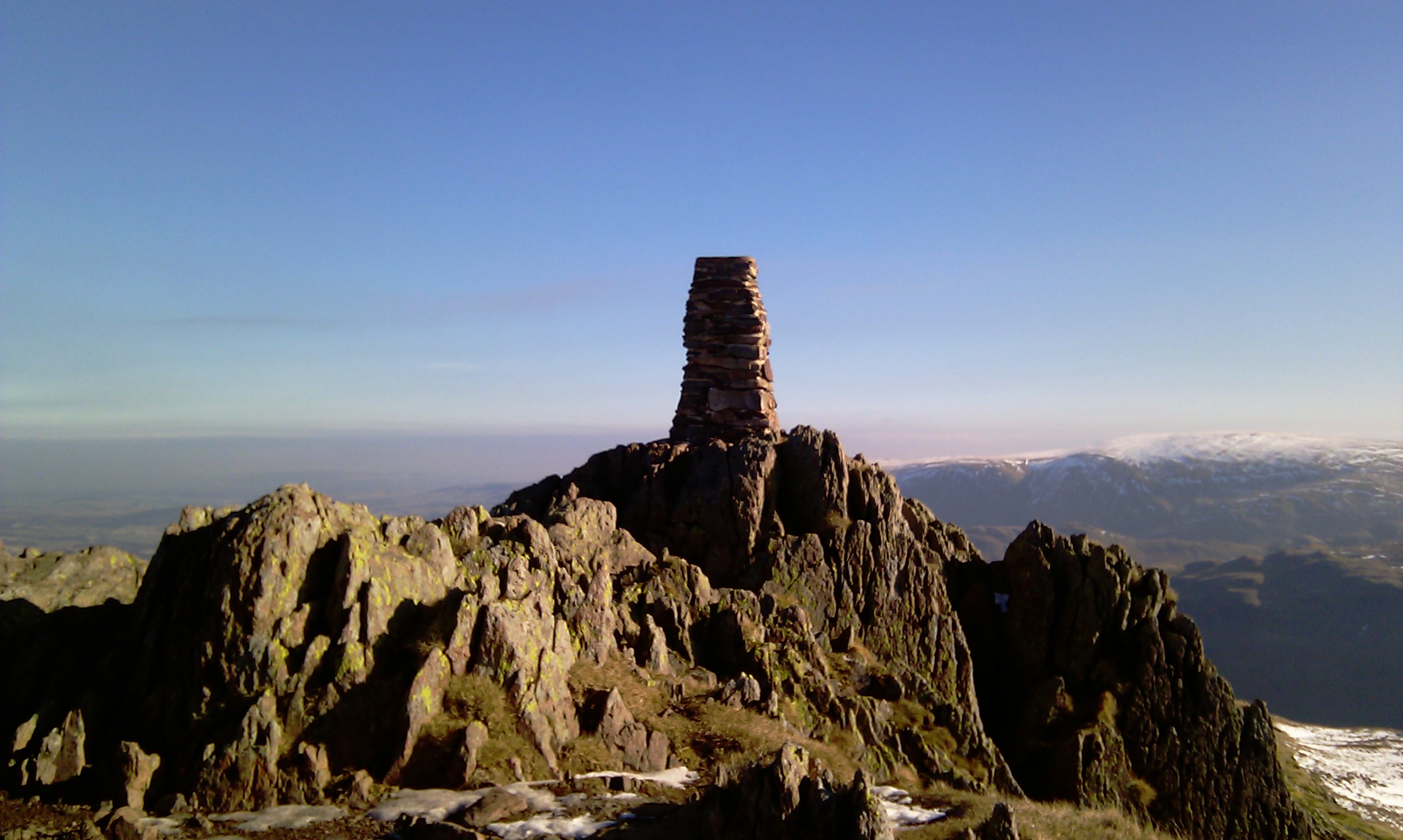
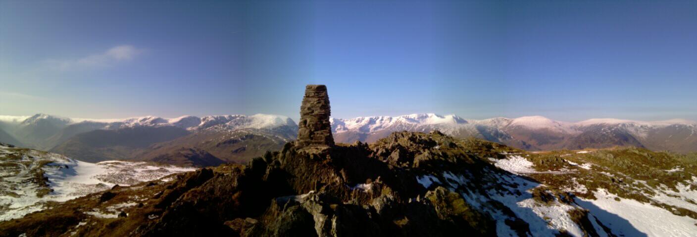
Place Fell
7th March 2010
| Placefell (GPX) (right click>save as) |
| TOTAL DISTANCE | 7.7 MILES | TRIP TIME | 4 HOURS 36 MINUTES | |
| AVERAGE SPEED | 1.67 MPH | TOTAL ASCENT | 2165 ft | |
| STARTING CO-ORDINATES | 54.534°N, 2.932°W | TOTAL DESCENT | 2165 ft |
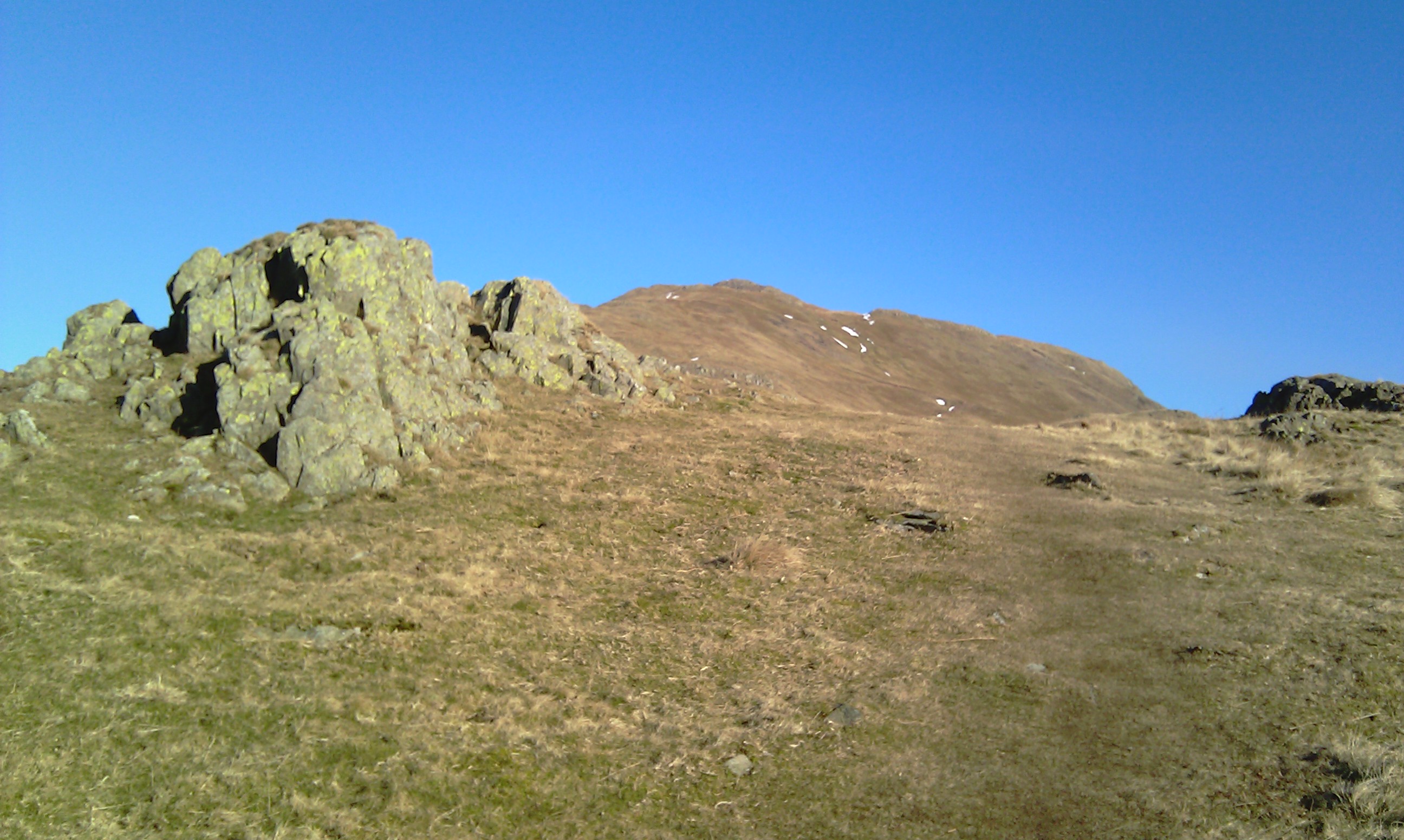
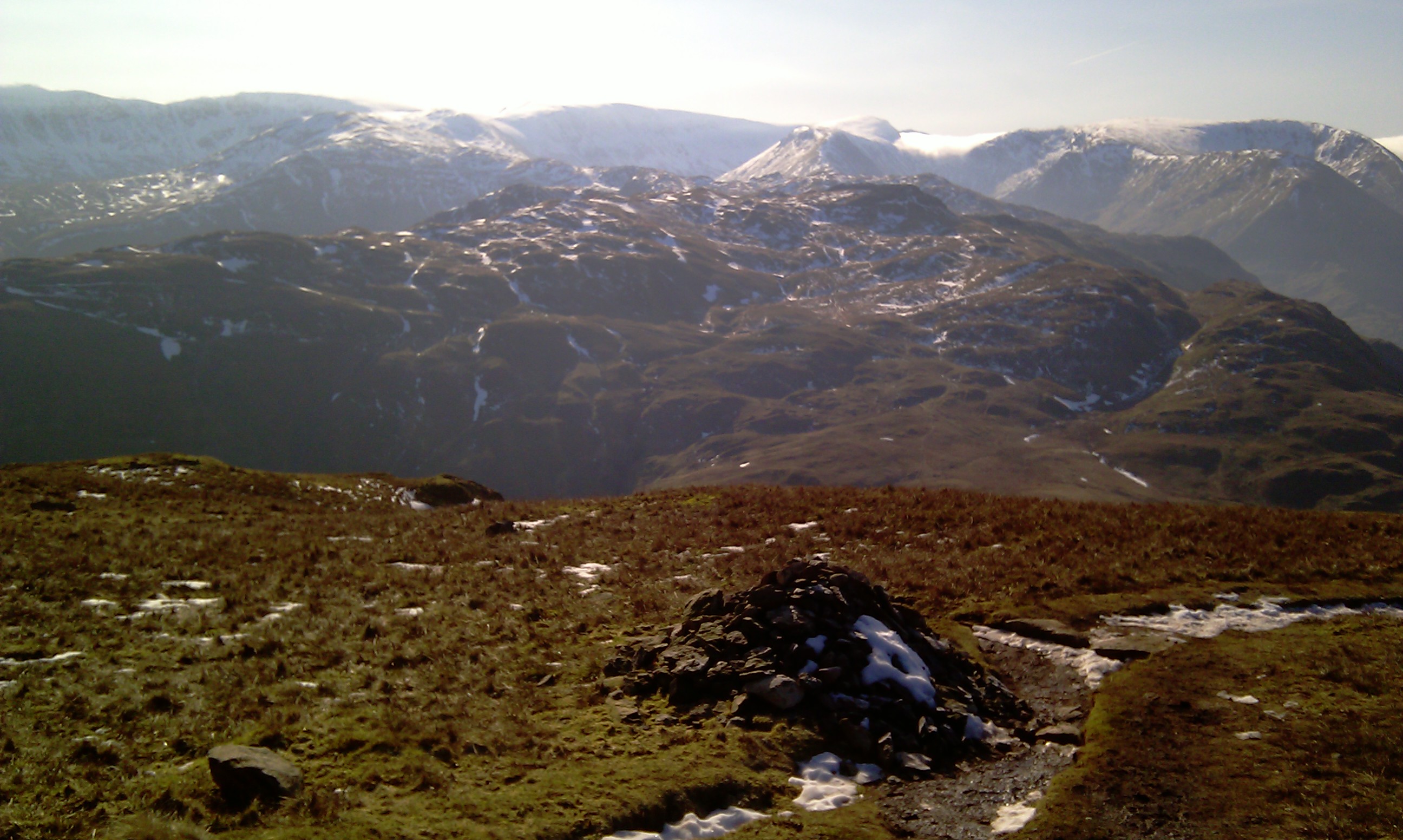
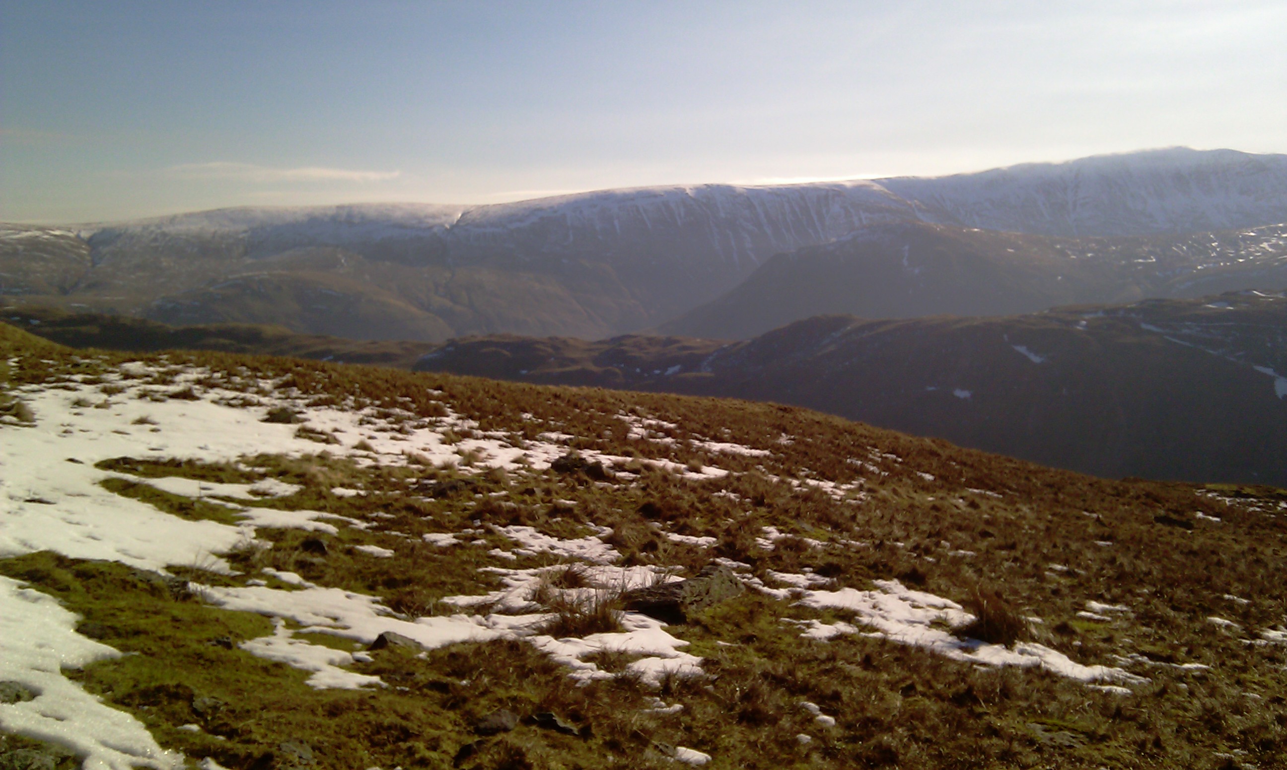
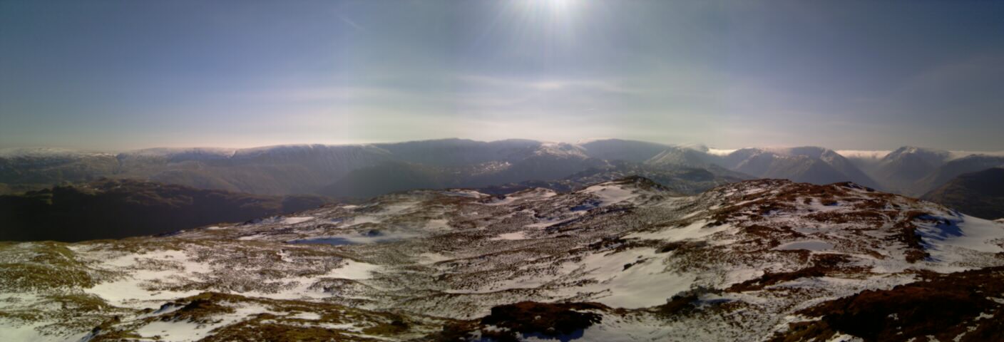
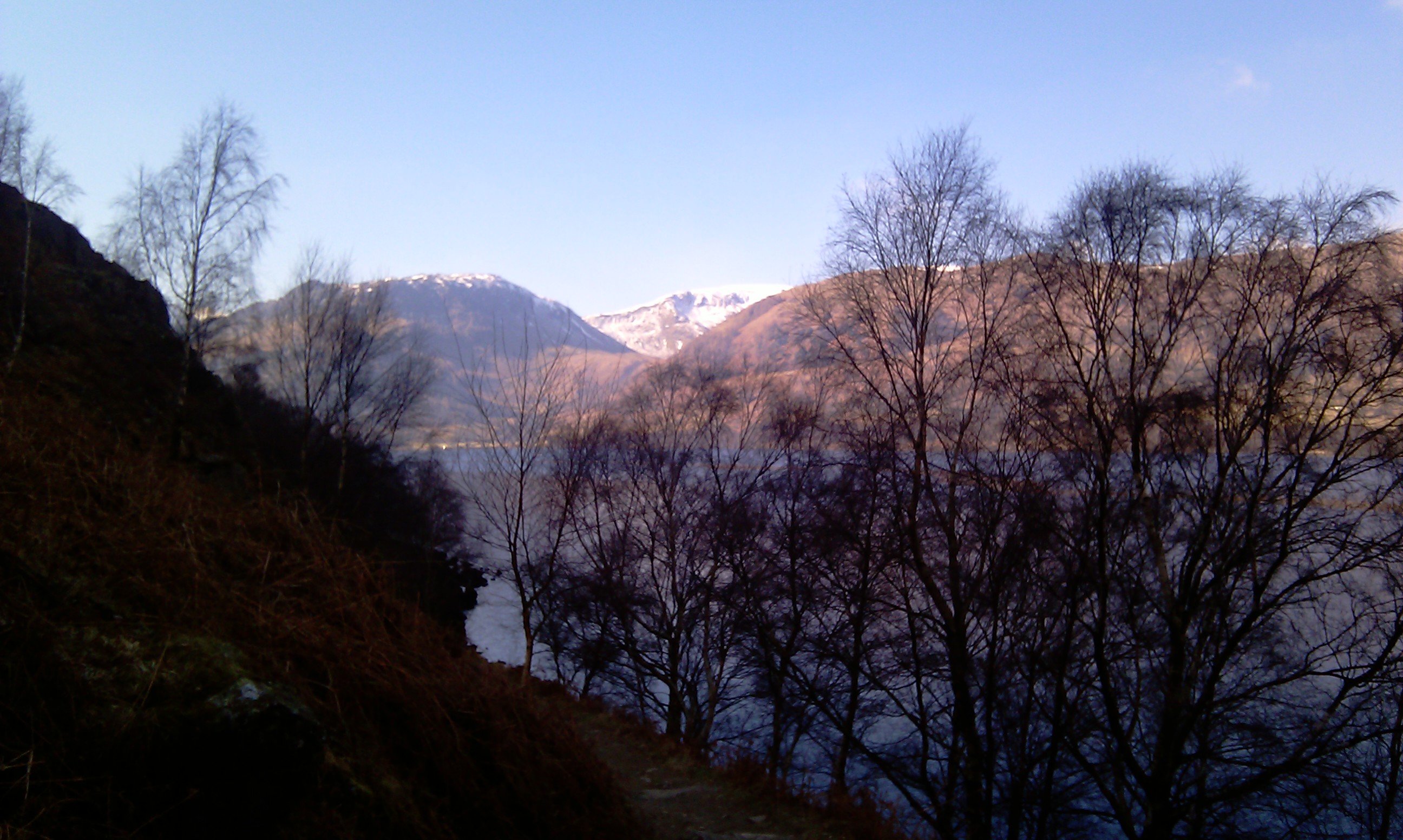
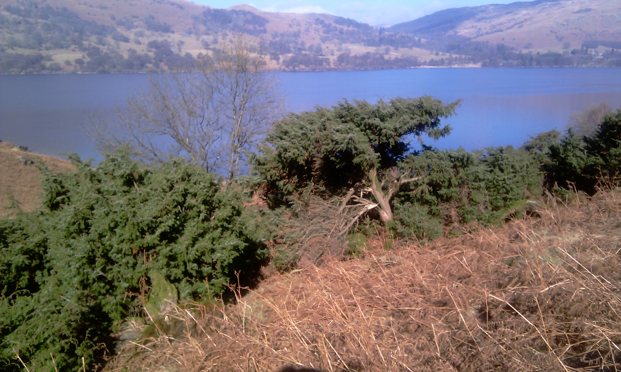
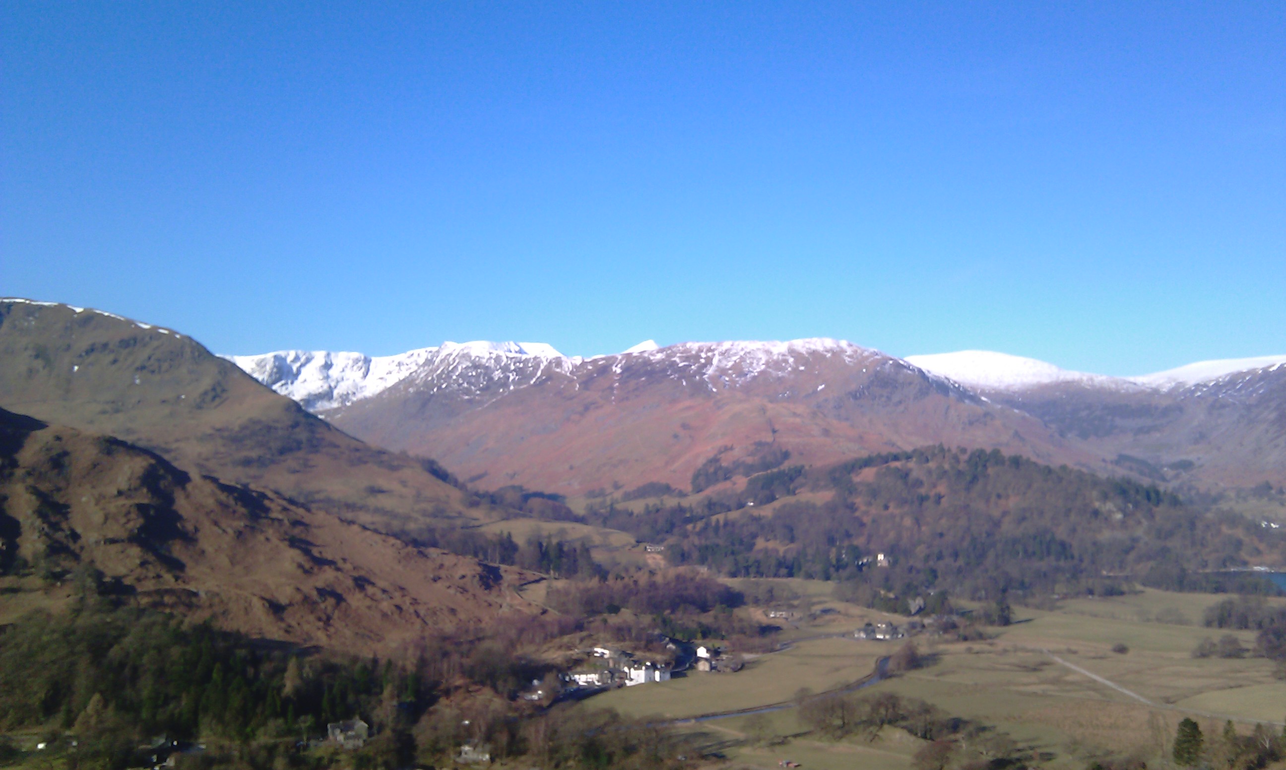
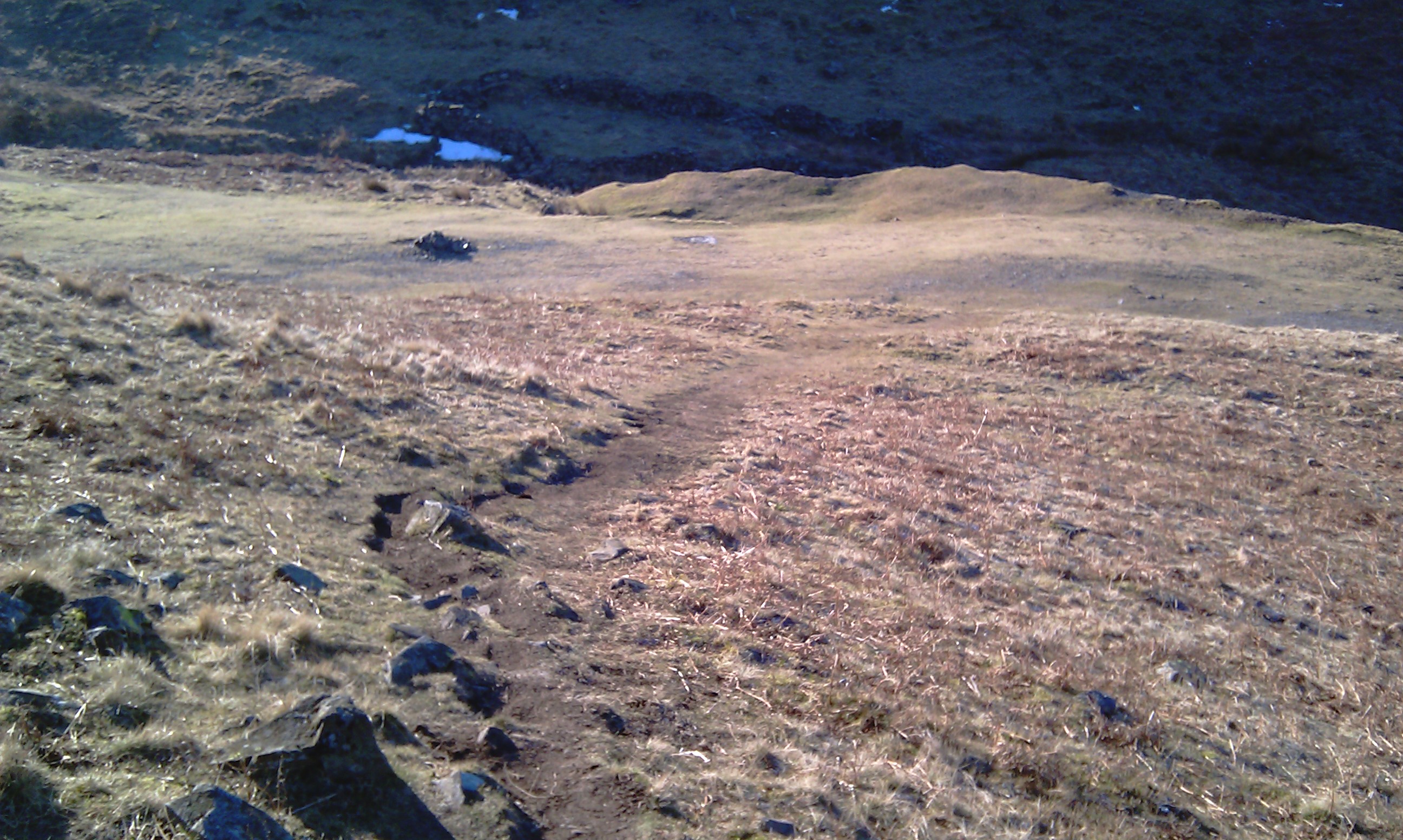
A cold match morning and only 3 hours sleep, due to working till gone 3am. There is still large amounts of snow on the peaks above 2000ft. Place fell stands around 2100ft and yes it was white peaked. The was no parking by the path itself so I parked up at the White Lion pub. I was planning a wee hydration after the walk anyway.
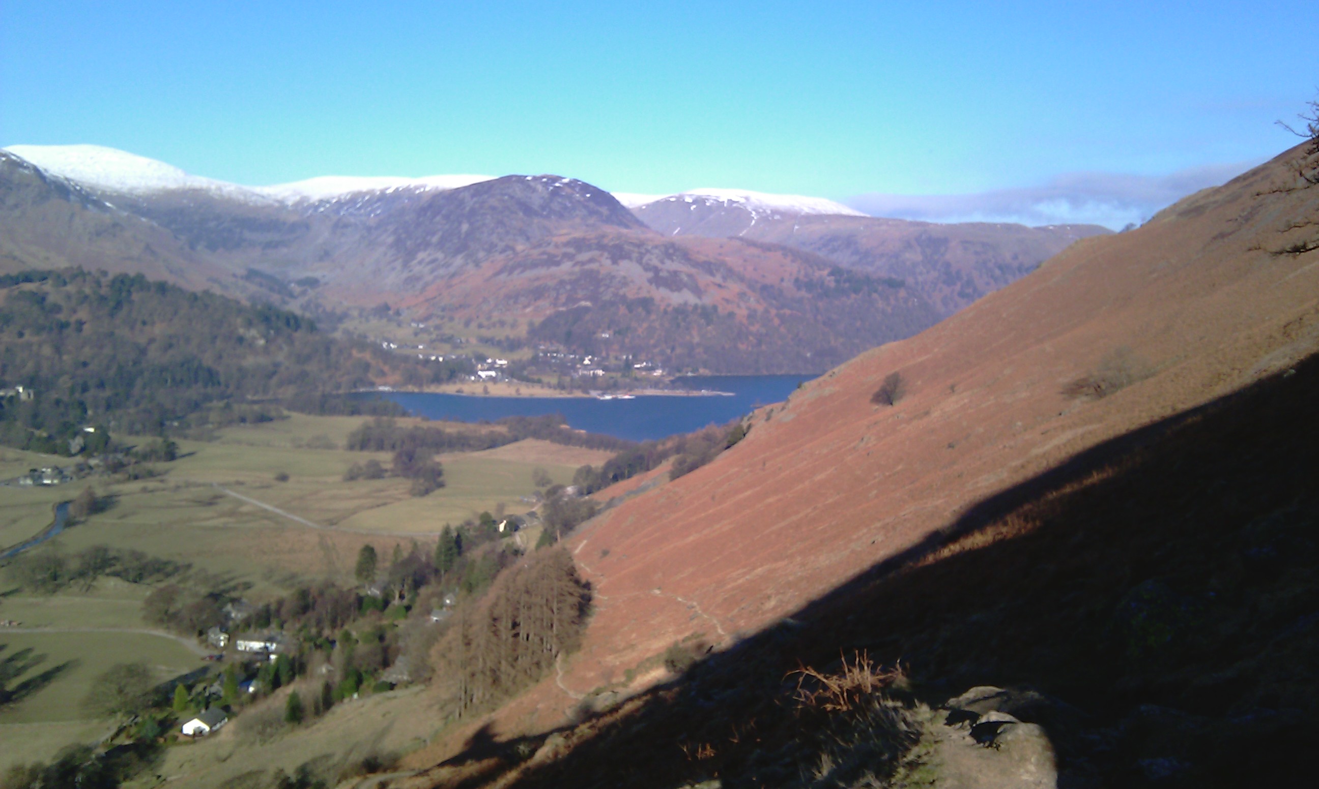
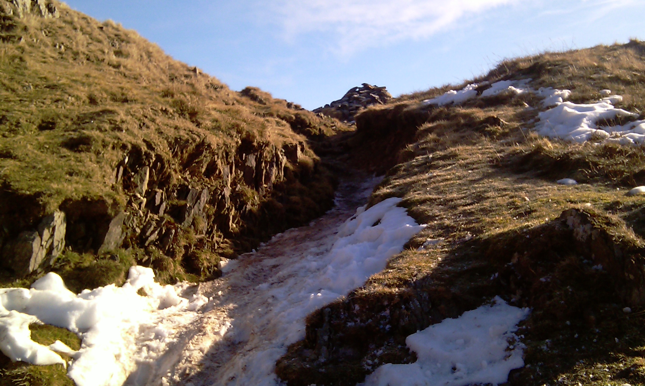
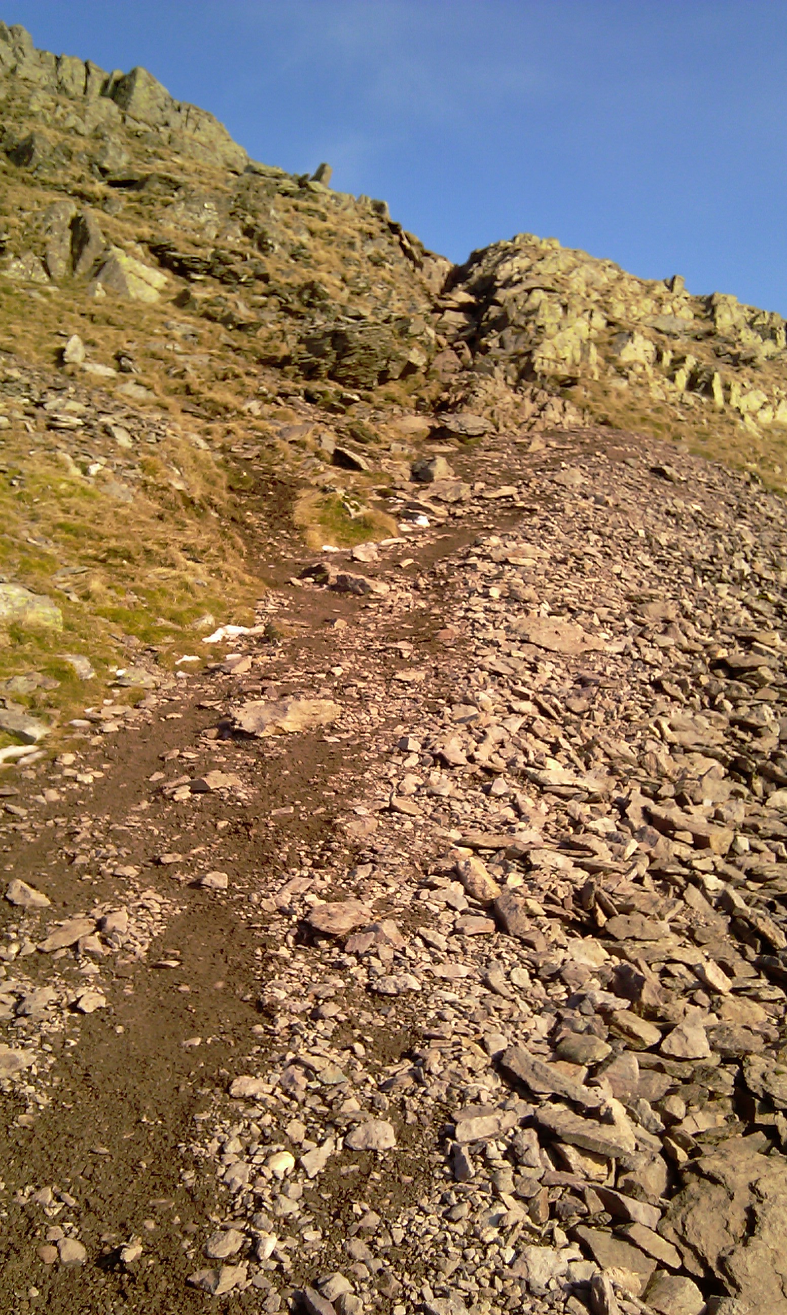
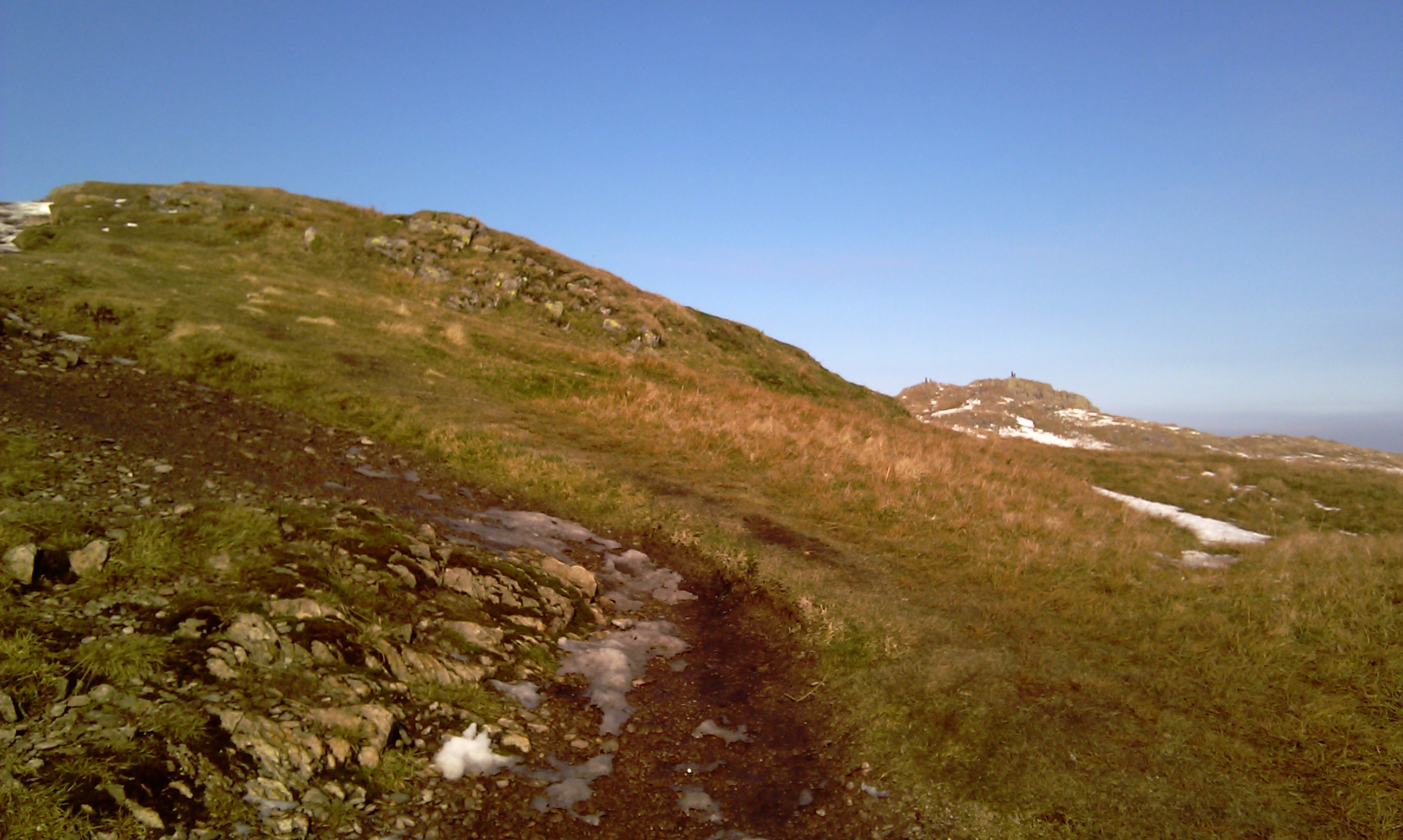
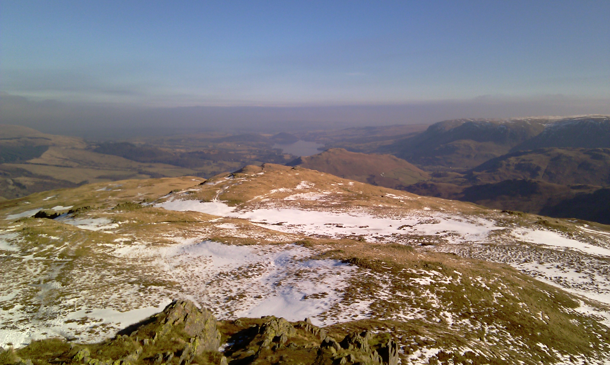
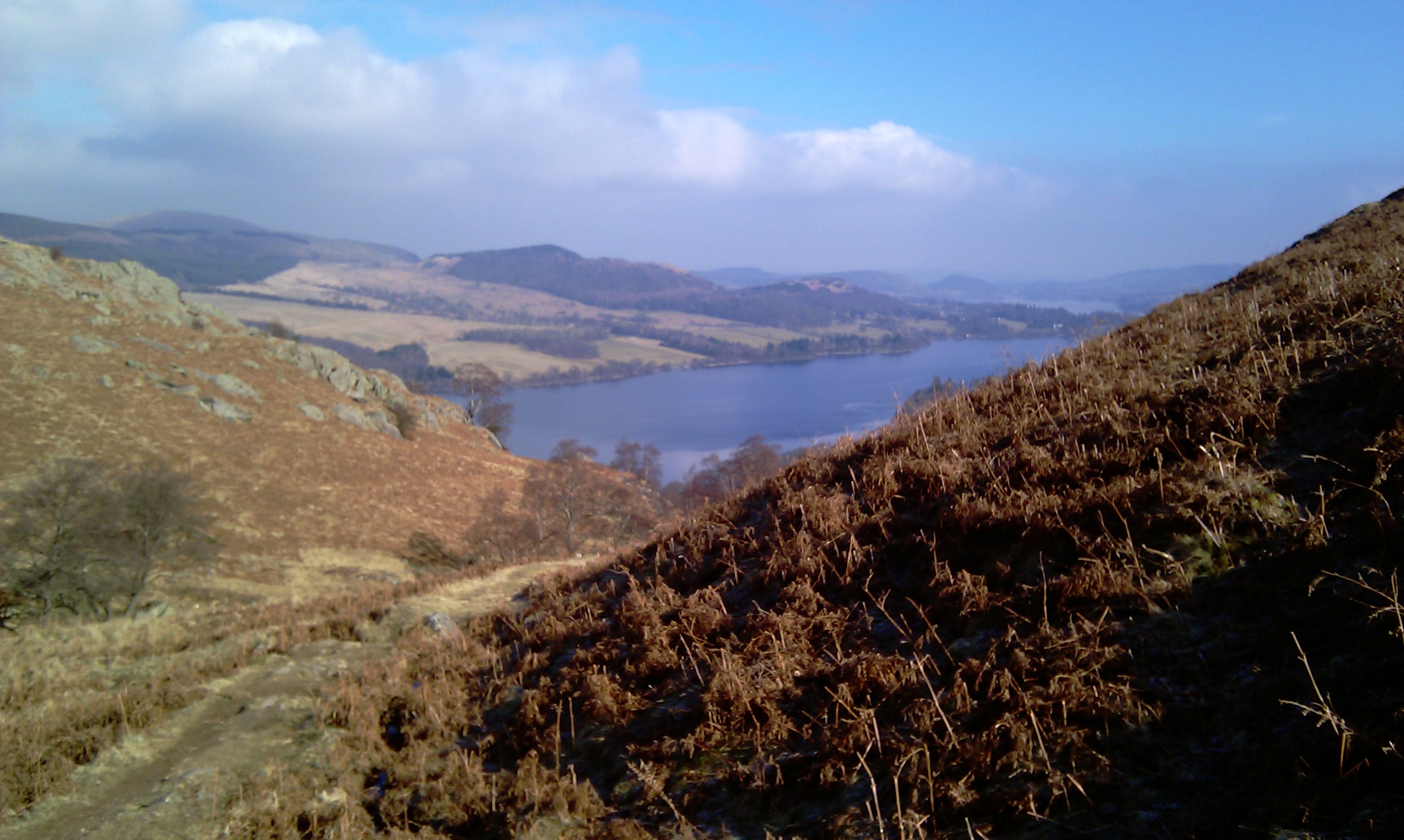
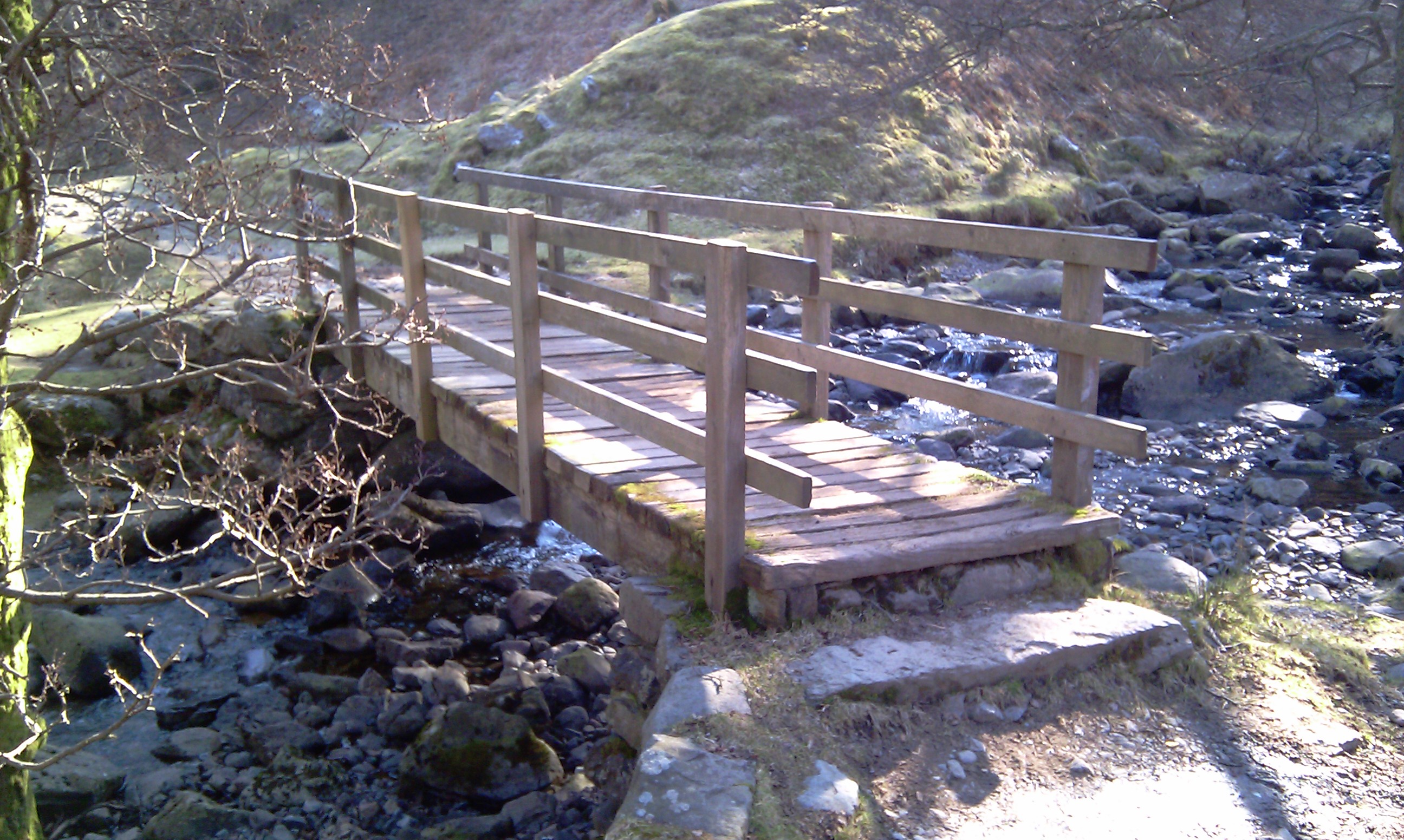
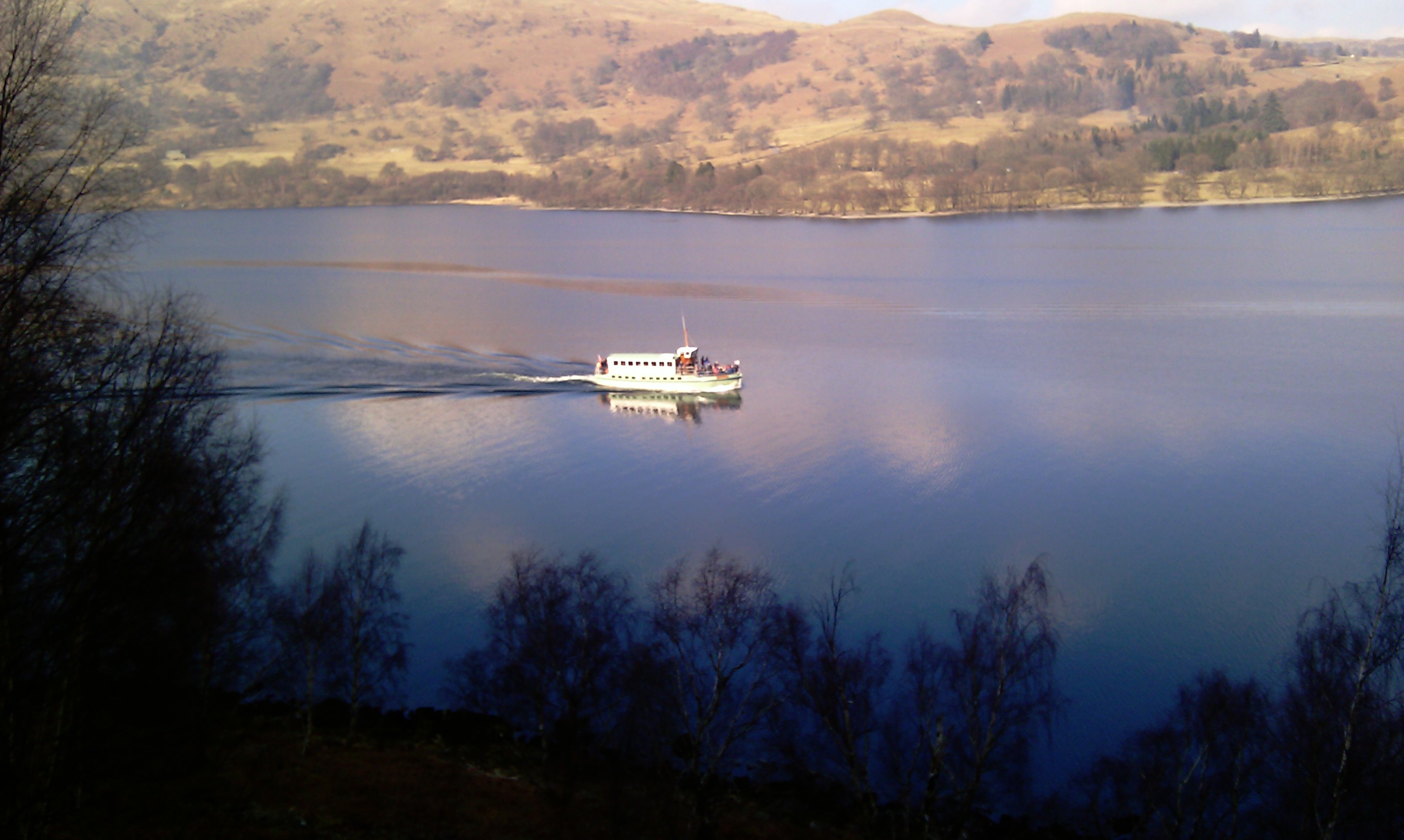
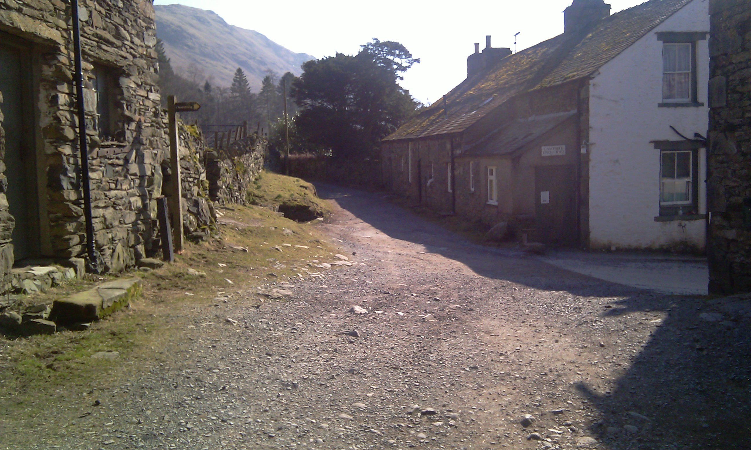
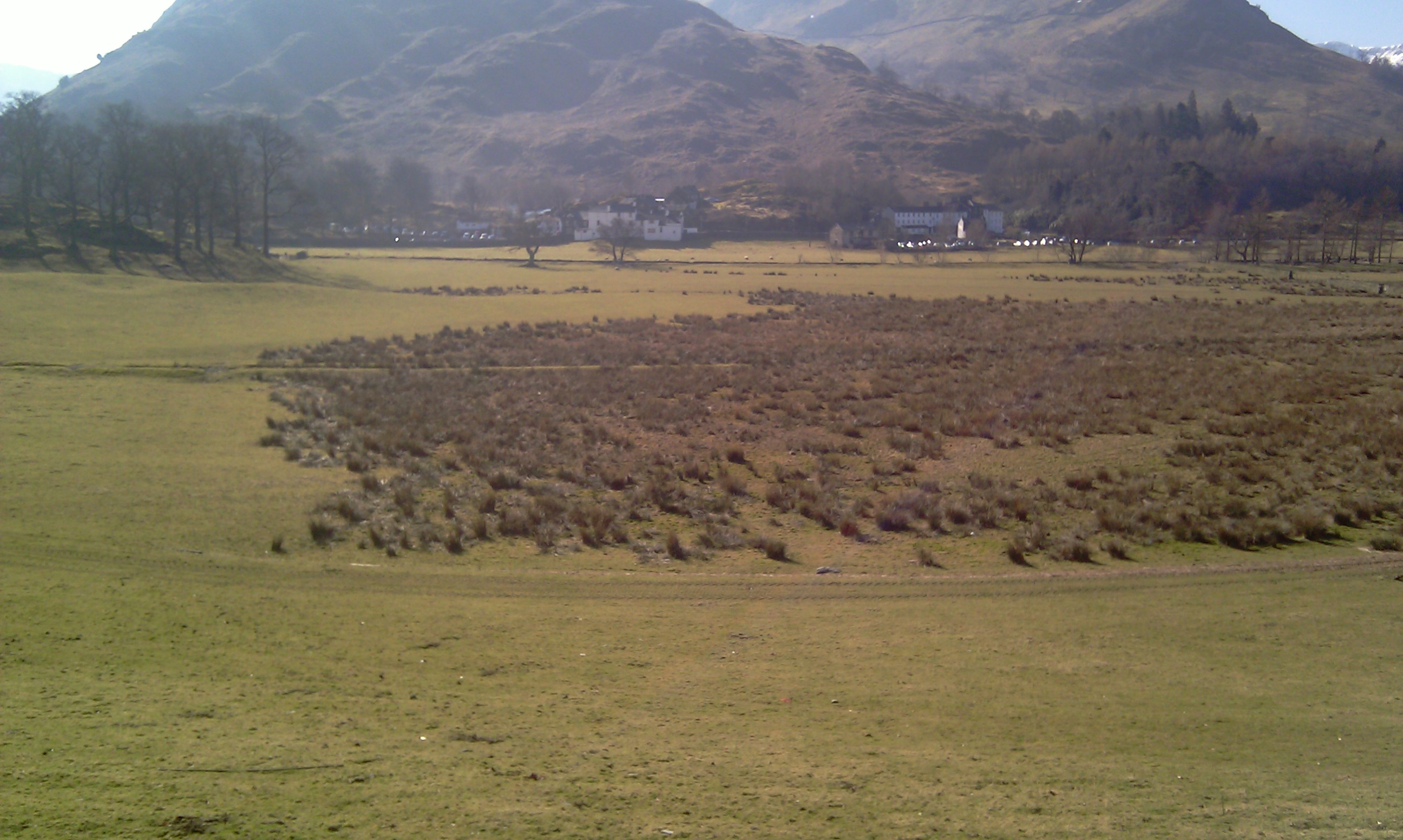
The route started by crossing the river and to the hamlet of Rooking. The sun was out in a glorious blue sky, but the sun, it was directly in the eyes as I walked up the path. The path up to Boredale hause was an instant warm up though. A mile and a half of un-relentless steep uphill gradient. It has been awhile since the last walk and with the secondment at work, my behind has been cushioned mostly each day for the last few months. The result of this mean I've soften. Oh well onwards and upwards.
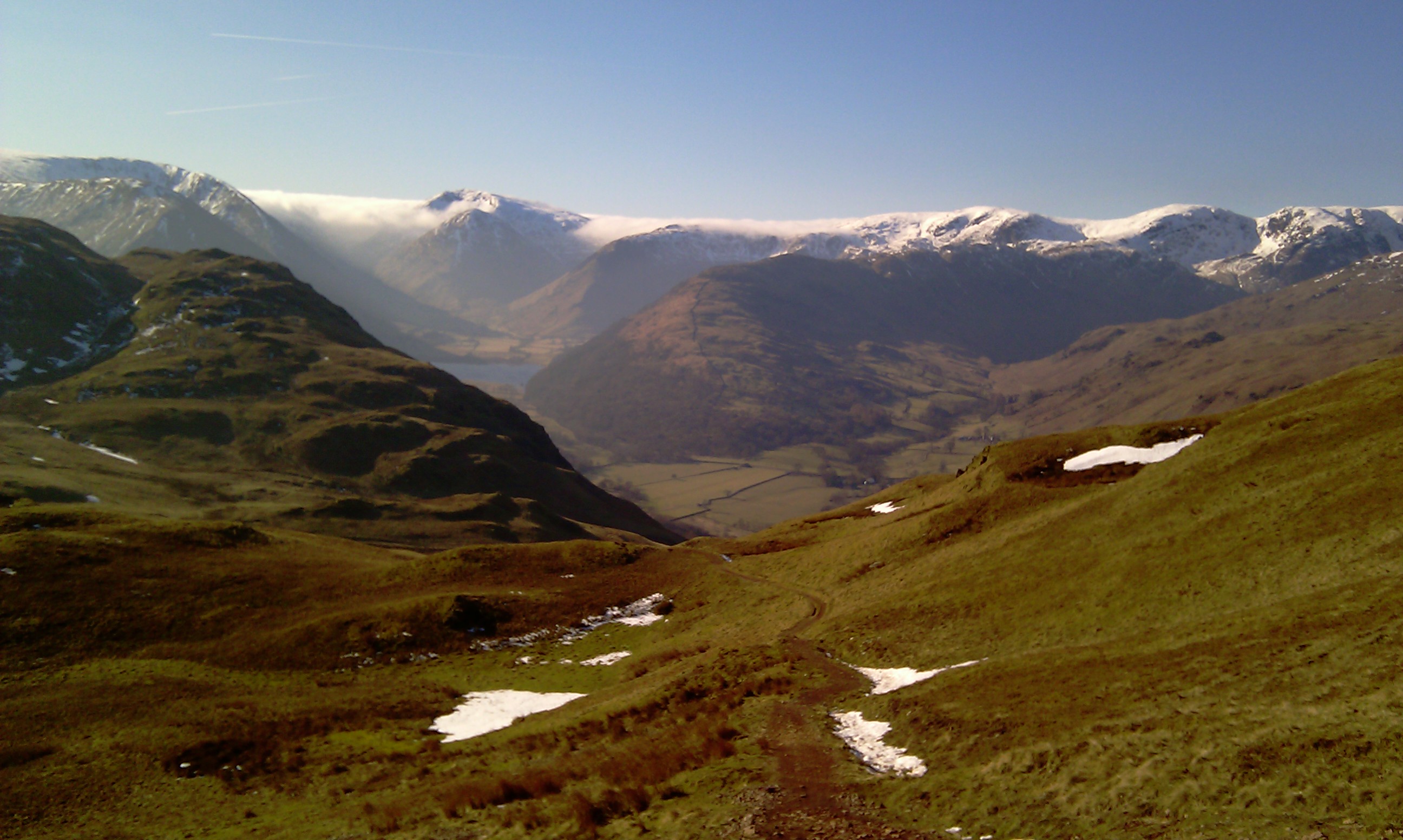
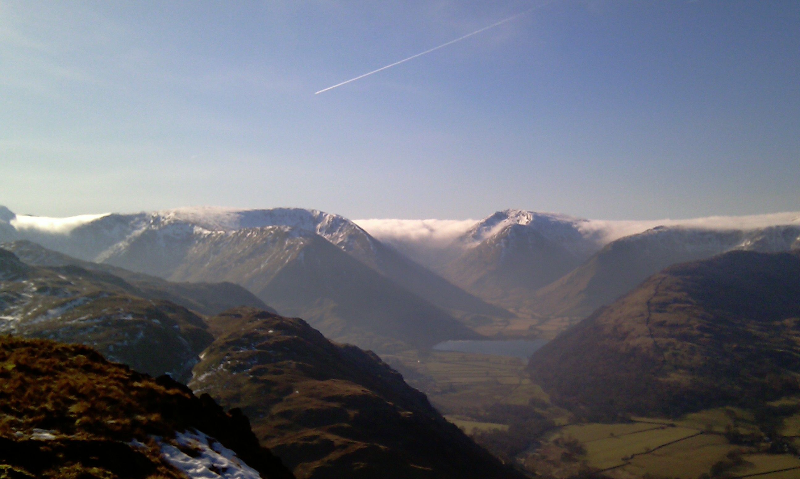
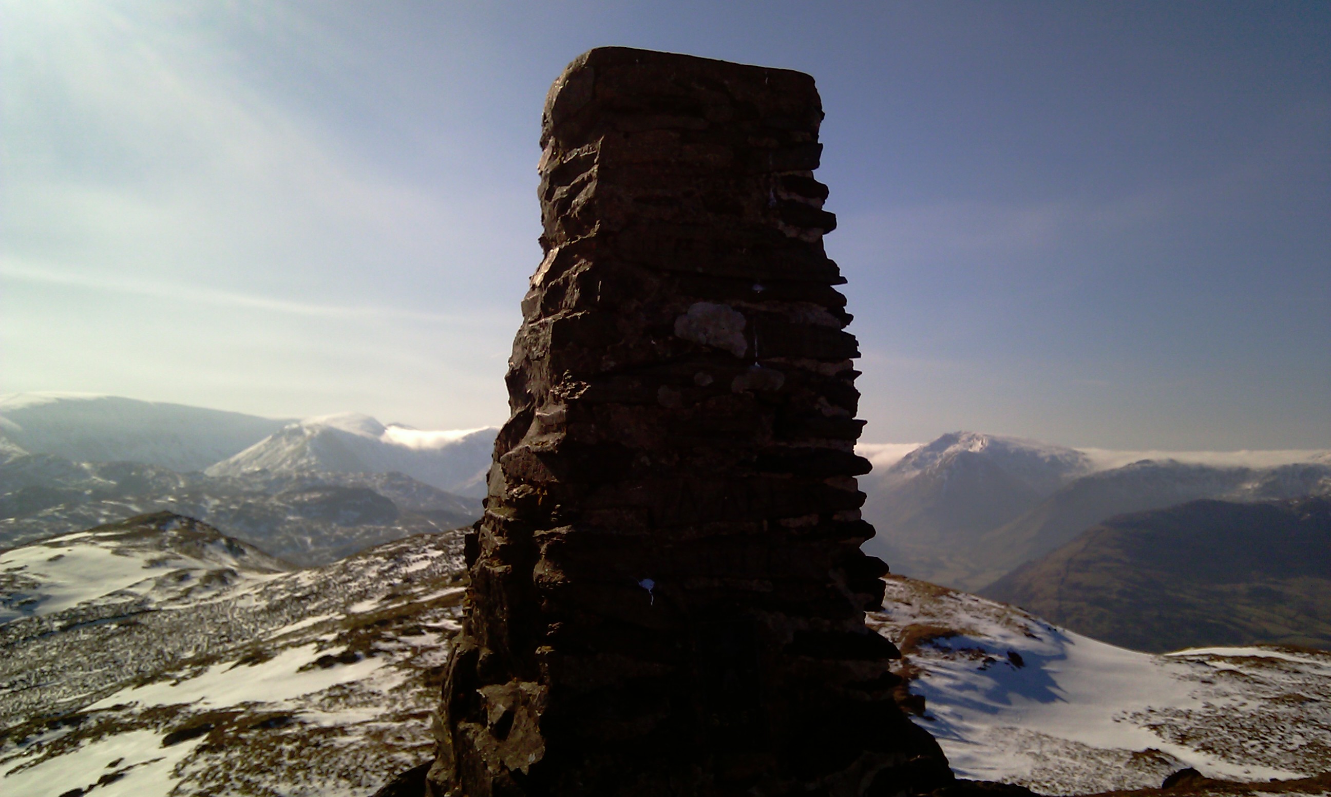
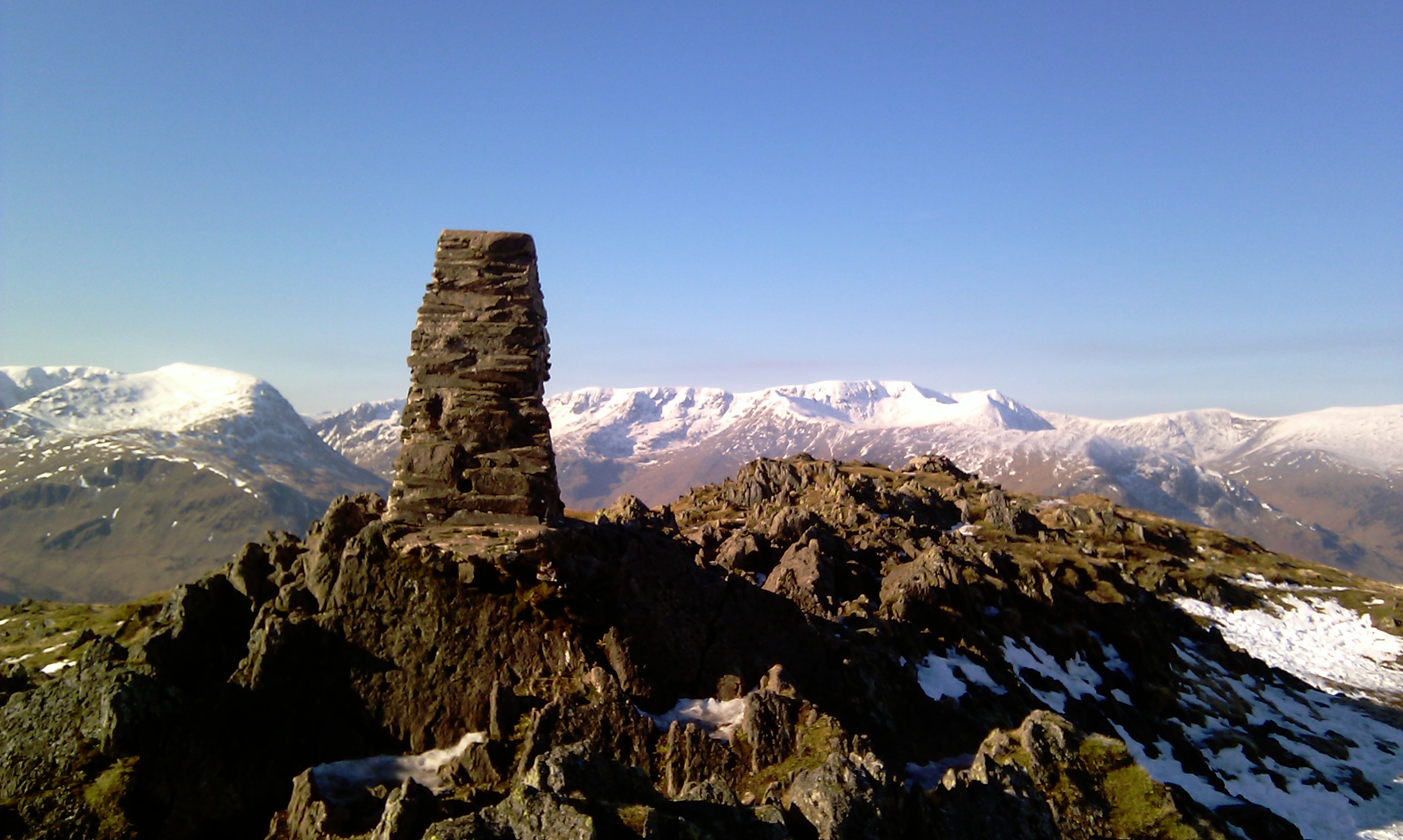
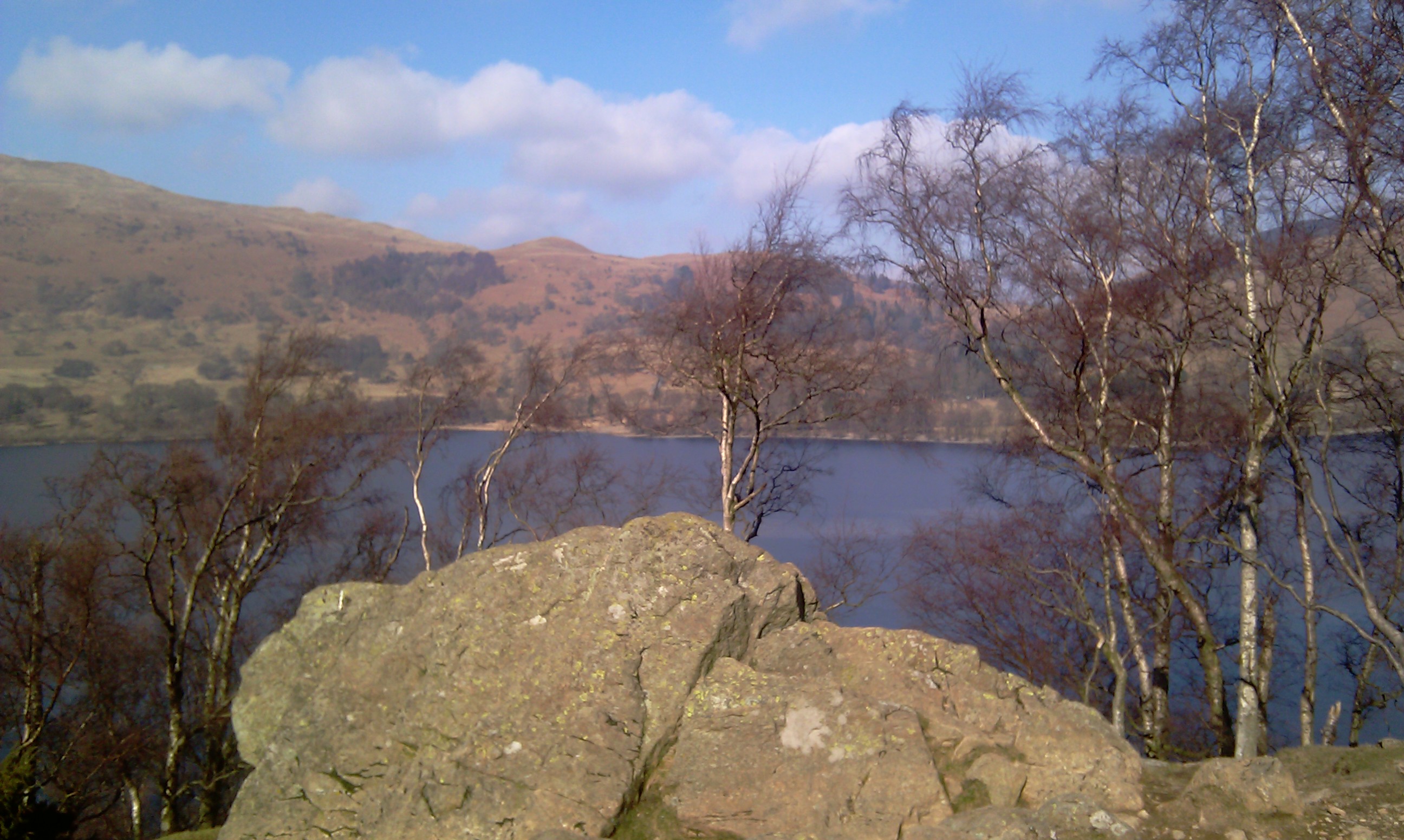
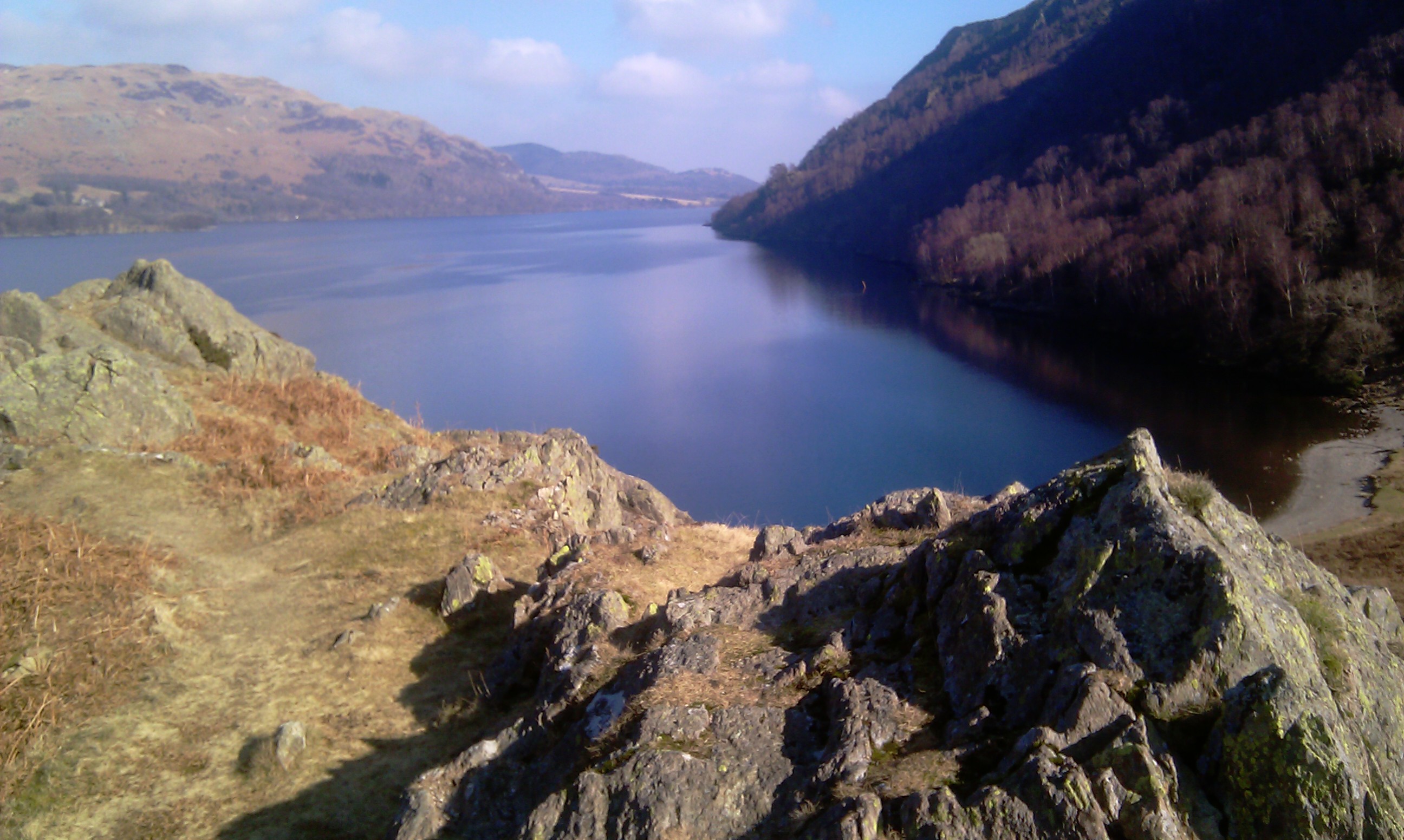
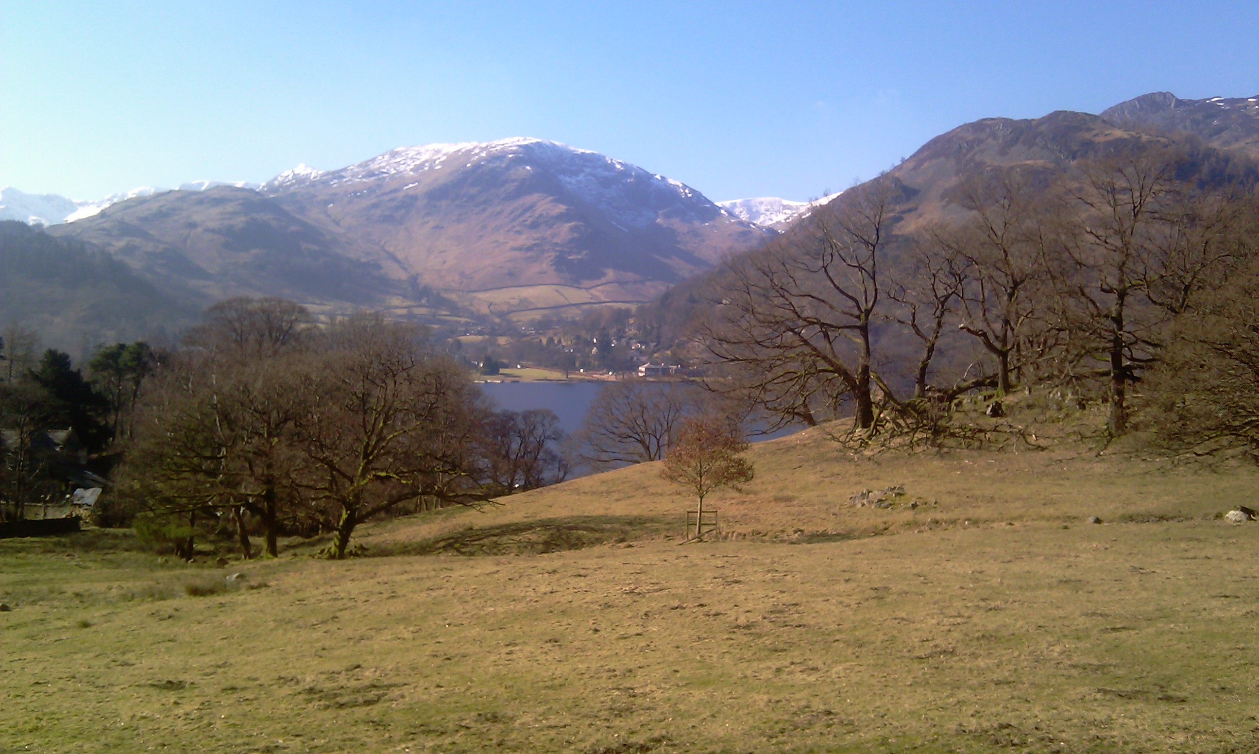
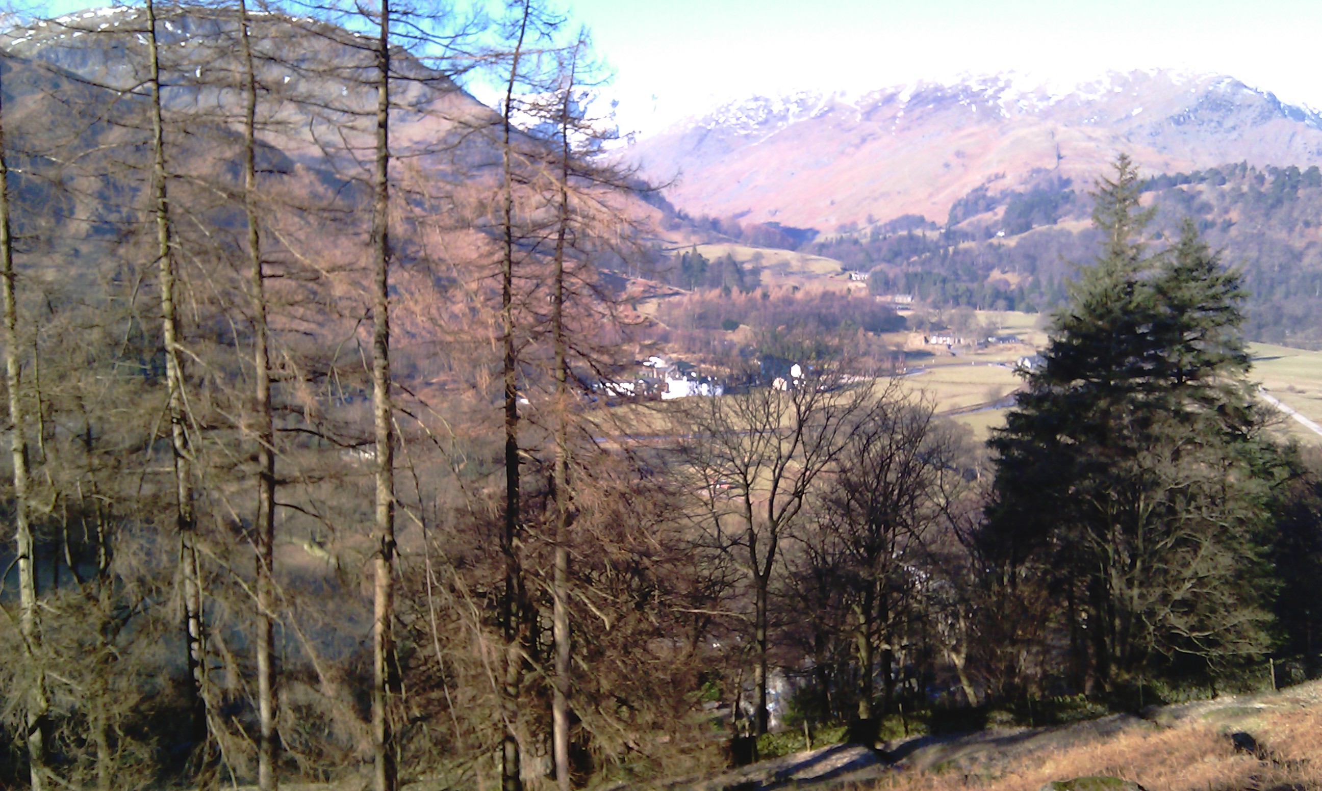
Almost straight away the views were promising to be the usual Lakeland awesomeness. Helvellyn et al, Fairfield et al were all in view, with their snowy peaks.