*---Hills and Fells---**---Hills and Fells---**---Hills and Fells---**---Hills and Fells---**---Hills and Fells---*
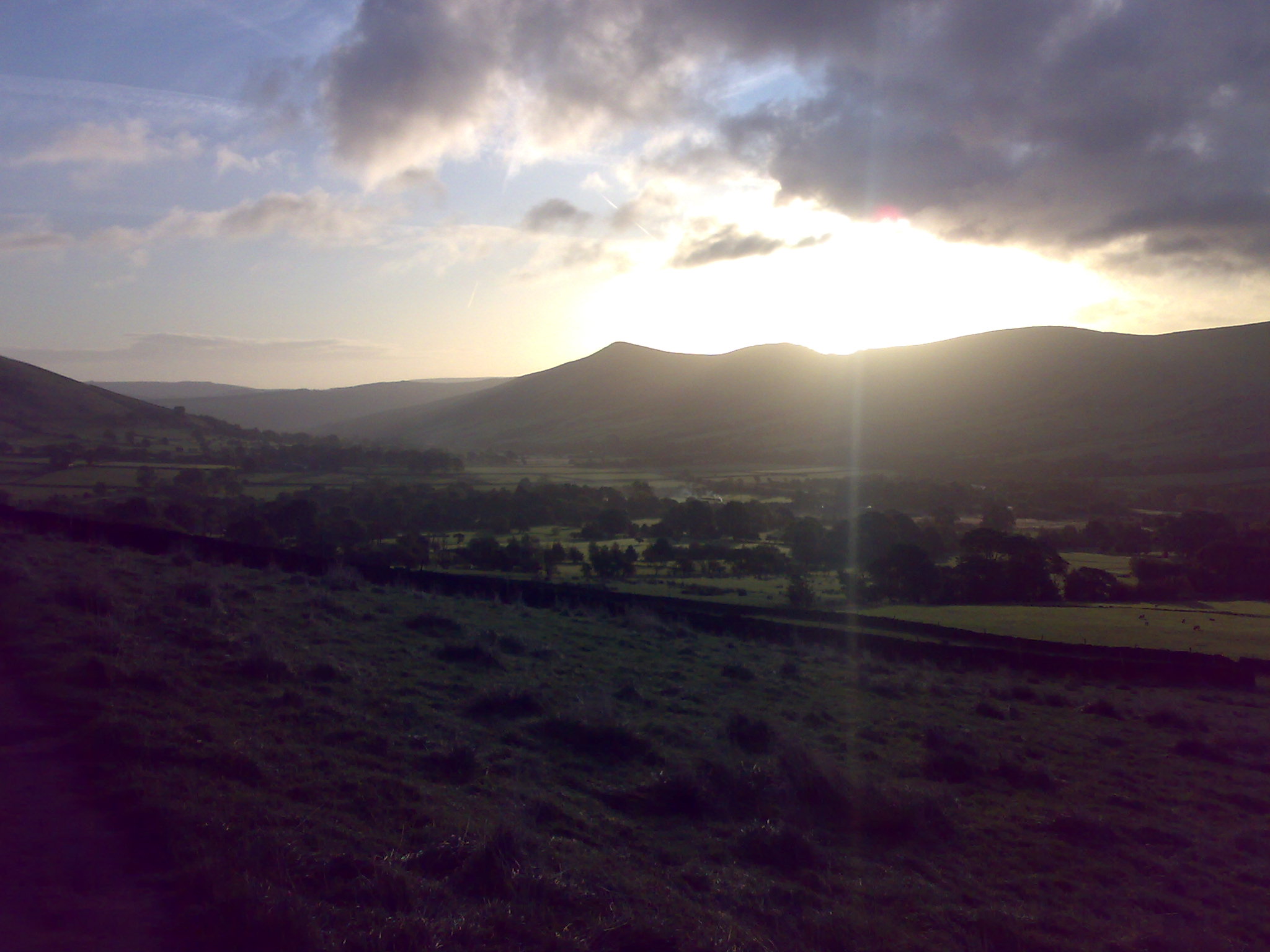
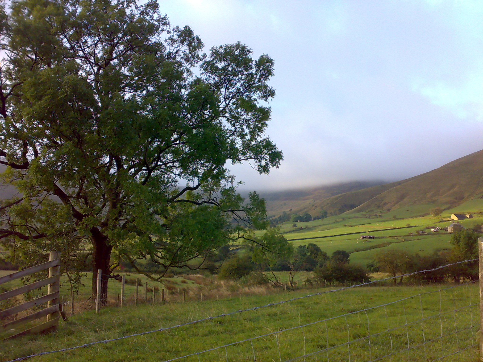
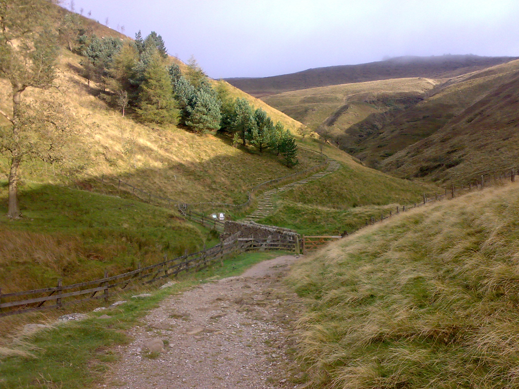
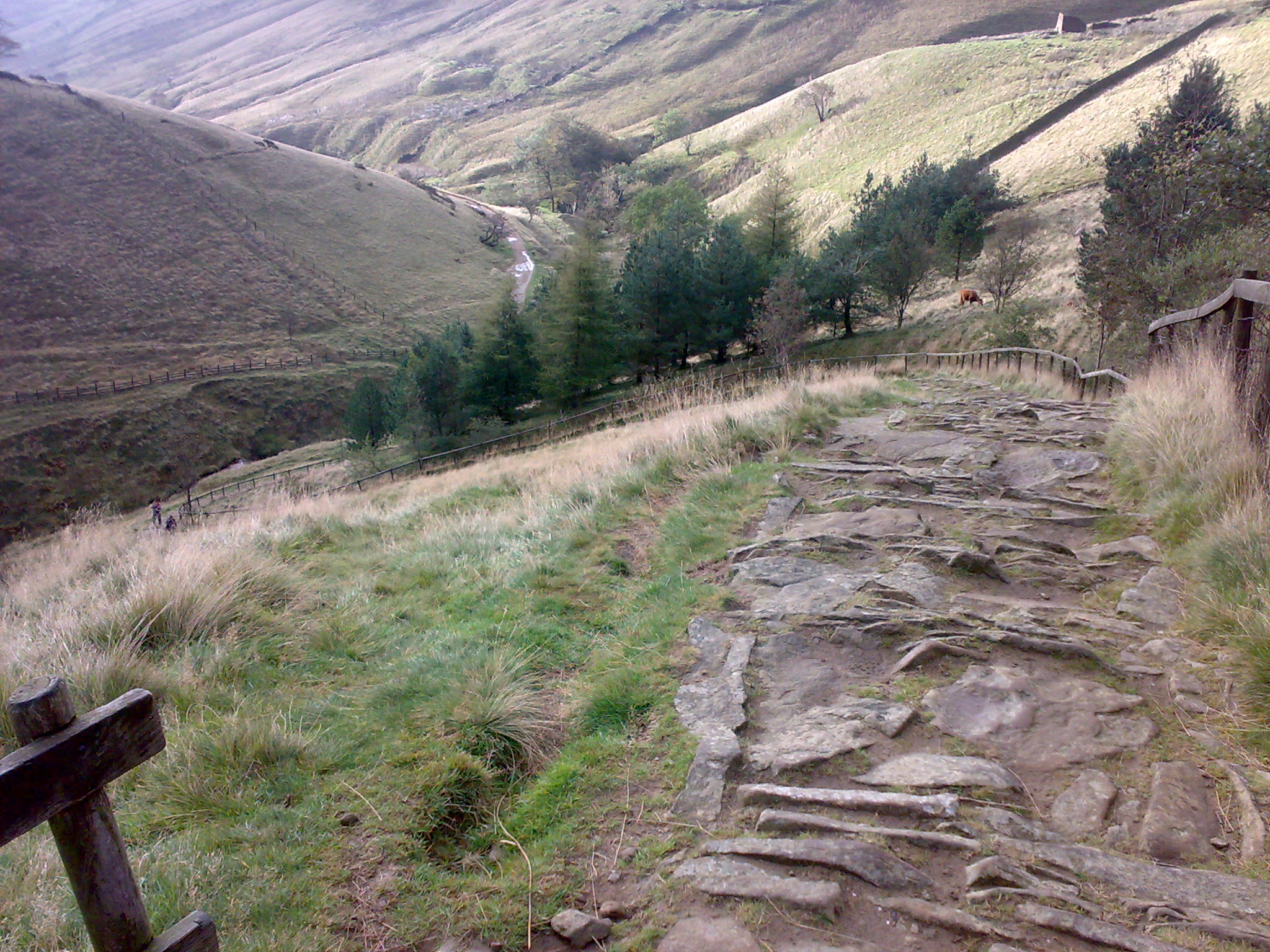
Kinderscout

4th October 09

Memory Map Route data   Google Earth KML file   Name (GPX) (right click>save as)


TOTAL DISTANCE 8.95 MILES   TRIP TIME  4HOURS  30MINUTES
AVERAGE SPEED  1.98MPH   TOTAL ASCENT  1867ft
STARTING CO-ORDINATES
53.365°N, 1.816°W
 
TOTAL DESCENT
 1867ft


start of the walk on the Pennine way, as the sun rises of the hills. The footbridge that marks the start of Jacobs Ladder Looking back down Jacobs Ladder for halfway up.


  • Back To The Top

    Hit Counter