*---Hills
and Fells---**---Hills
and Fells---**---Hills
and Fells---**---Hills
and Fells---**---Hills
and Fells---*
Blencathra or Saddleback
24th August 09
| TOTAL DISTANCE |
9.11 MILES |
|
TRIP TIME |
5 HOURS 04 MINUTES |
| AVERAGE SPEED |
1.79 MPH |
|
TOTAL ASCENT |
2694 ft |
|
|
|
|
|
|
Start with a thank you to Gary Richardson for the website
www.mywainwrights.co.uk. This walk was taken straight from the site. No prep necessary for me.
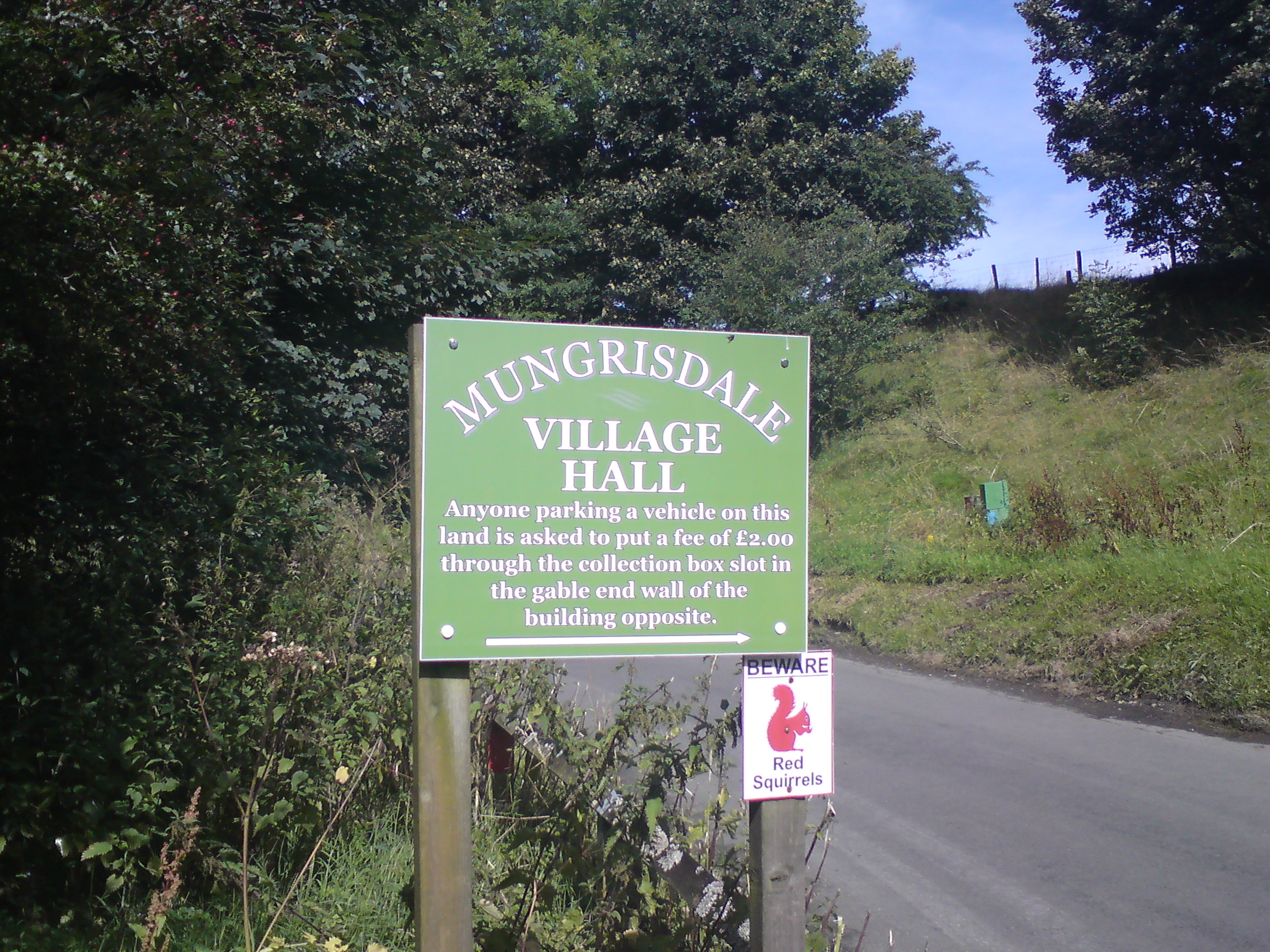
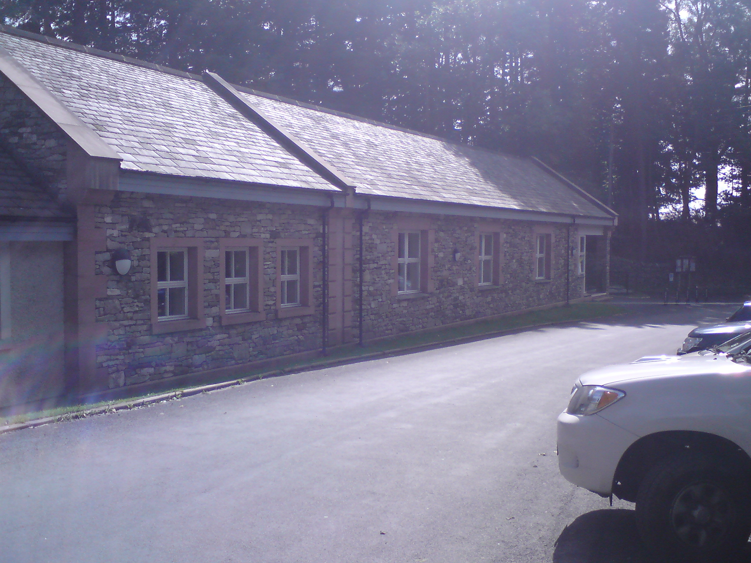
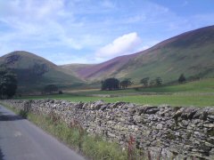
I arrived at Mungrisdale at 1130 and parked opposite the village hall with the requested payment of £2. This is perfectly reasonable.
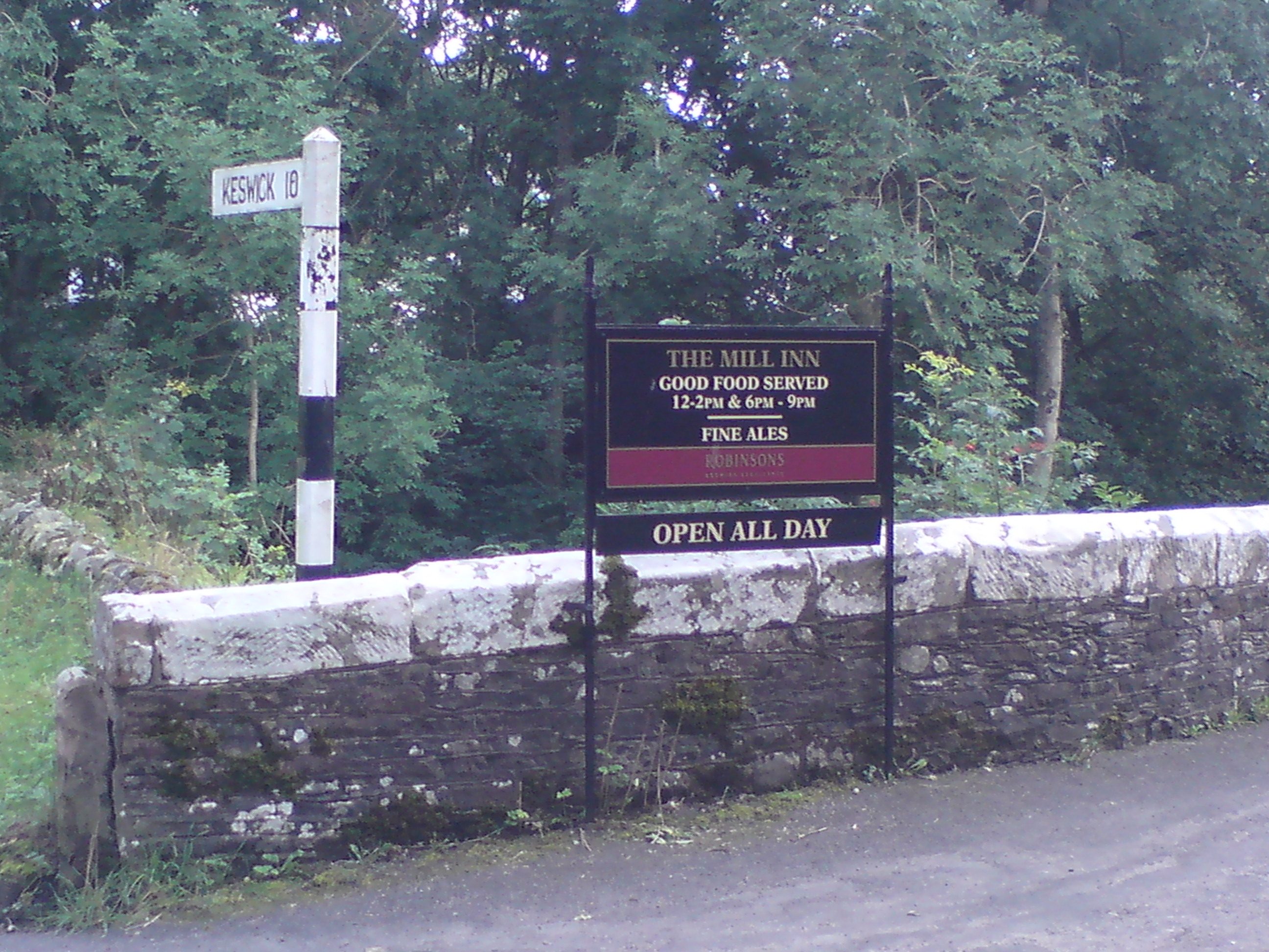
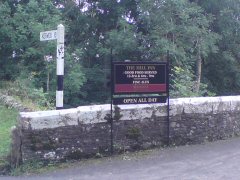
Once I'd prepared myself I set off north up the road. Around the first corner I discovered there was a pub there, a Robinson’s pub called
The Mill Inn. That will be useful for end. I continued up the road to find the start of the path to Bowscale Fell. It was not obvious to
find and it was unmarked. The only thing that gave it away to me was the 'no walkers' sign on the house next to the fence where the path
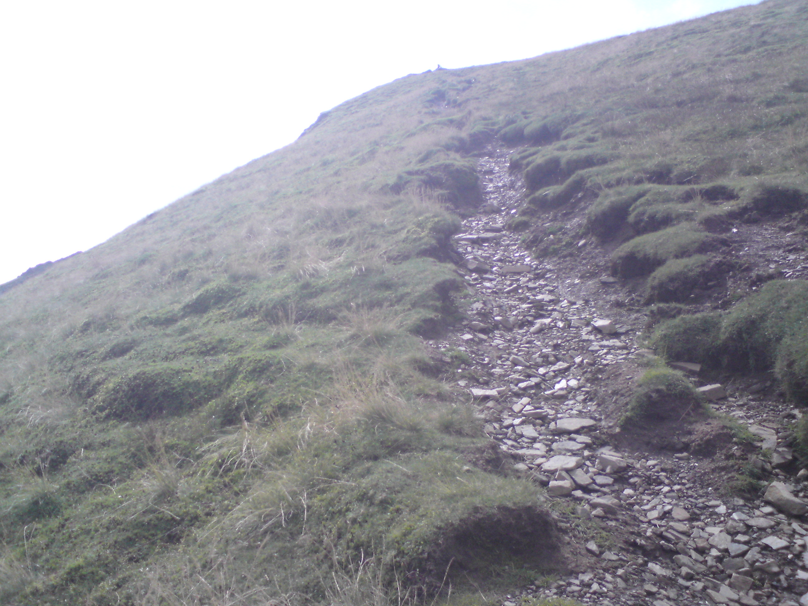
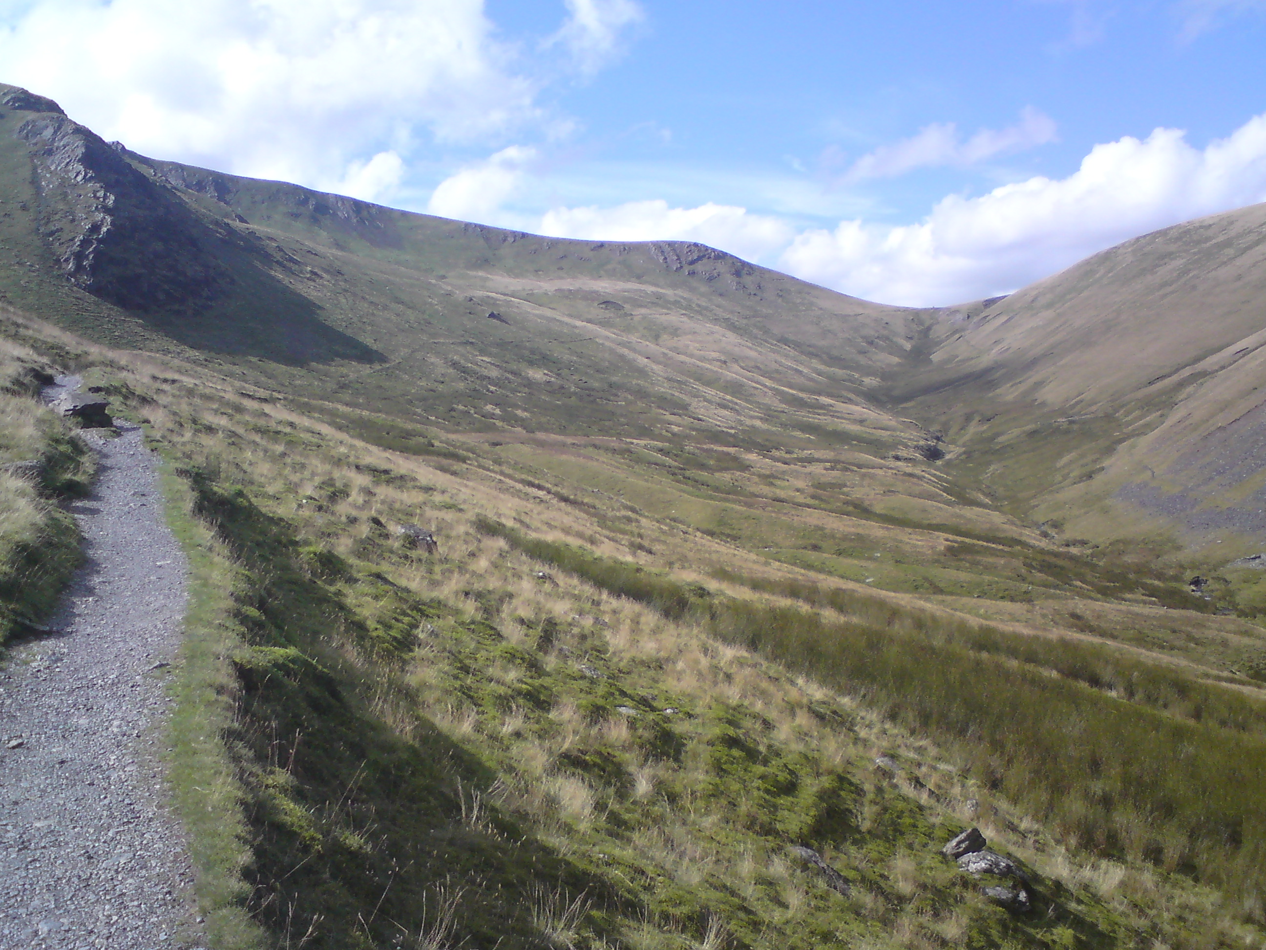
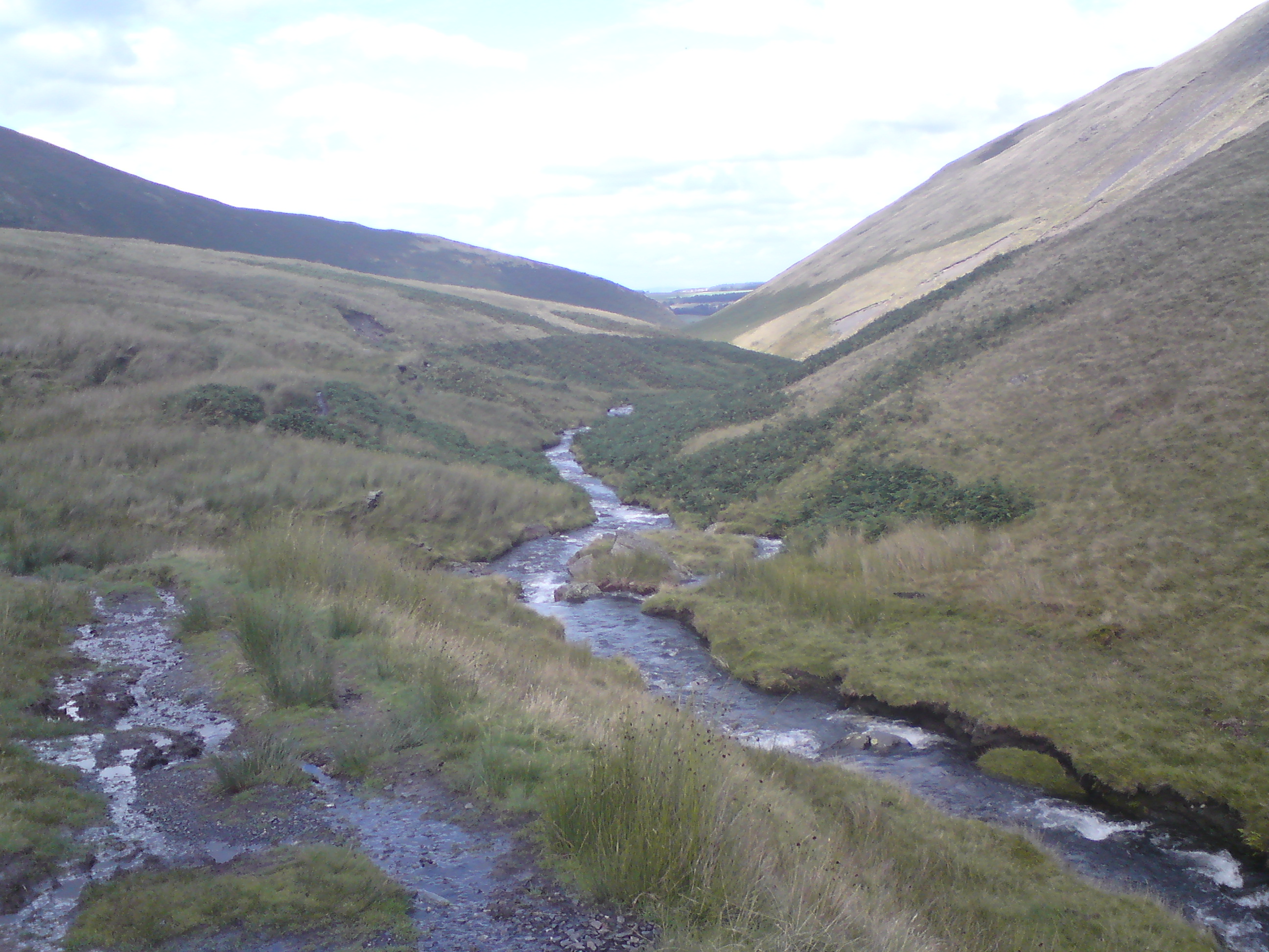
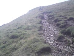
starts. It was a little un-easing to see not the heights of Blencathra, but the first 1/2 miles. The path rose 1000ft in that distance
up Raven Crags and it is quite a climb.


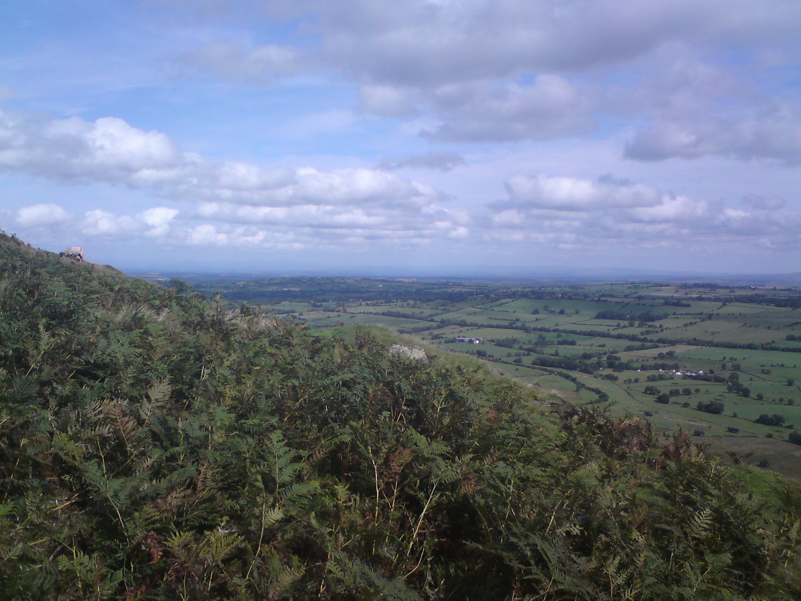
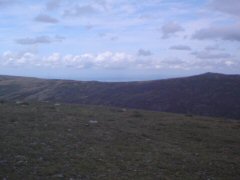
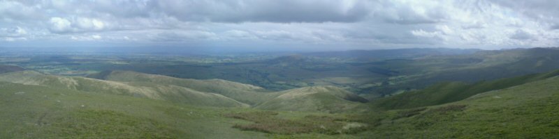
The view which was revealing itself quite quickly was stunning looking eastwards and seeing the
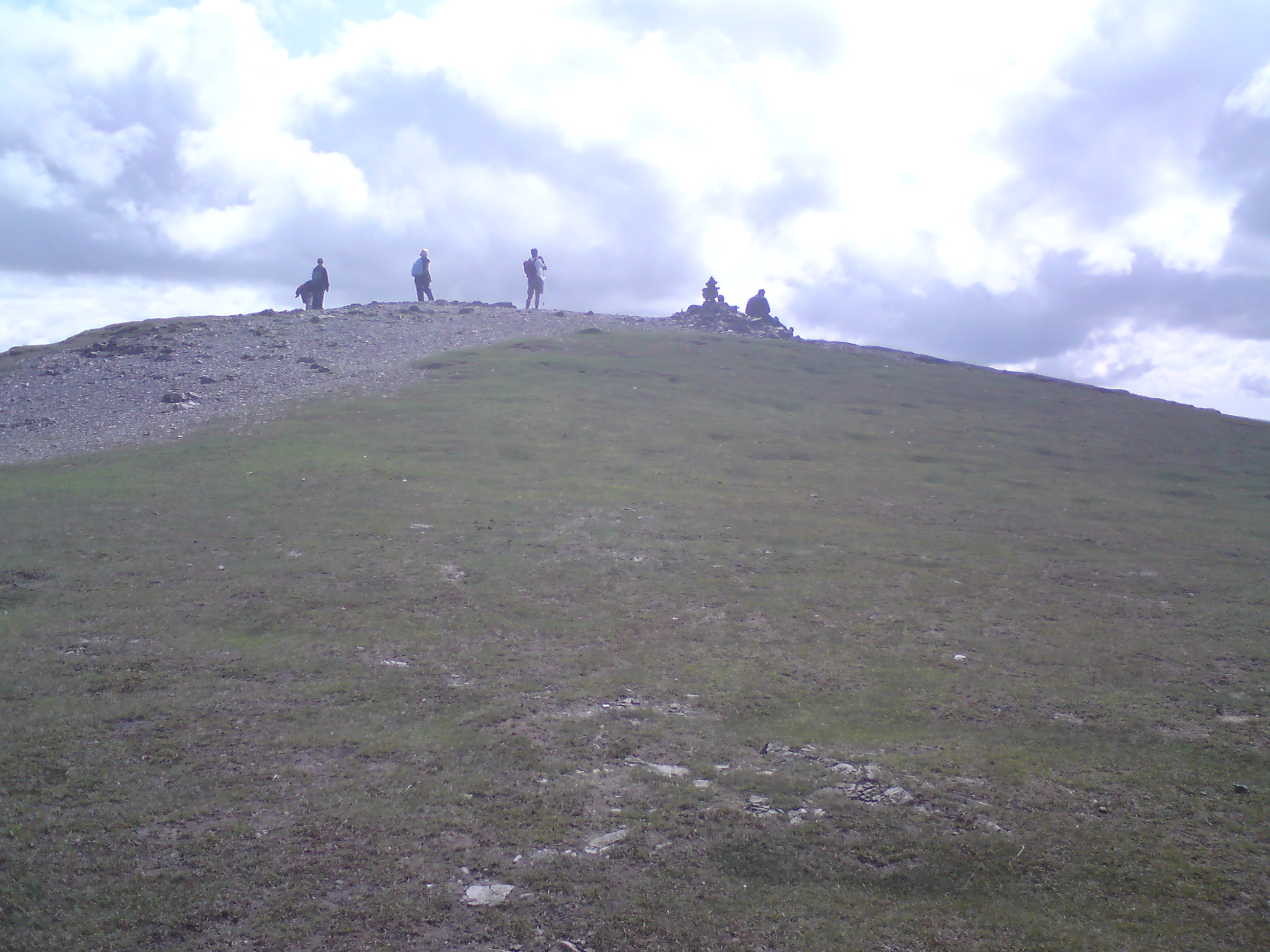
Pennines. On reaching the first cairn the heart was pumping up to speed. To the north the Solway Firth was coming into view. The
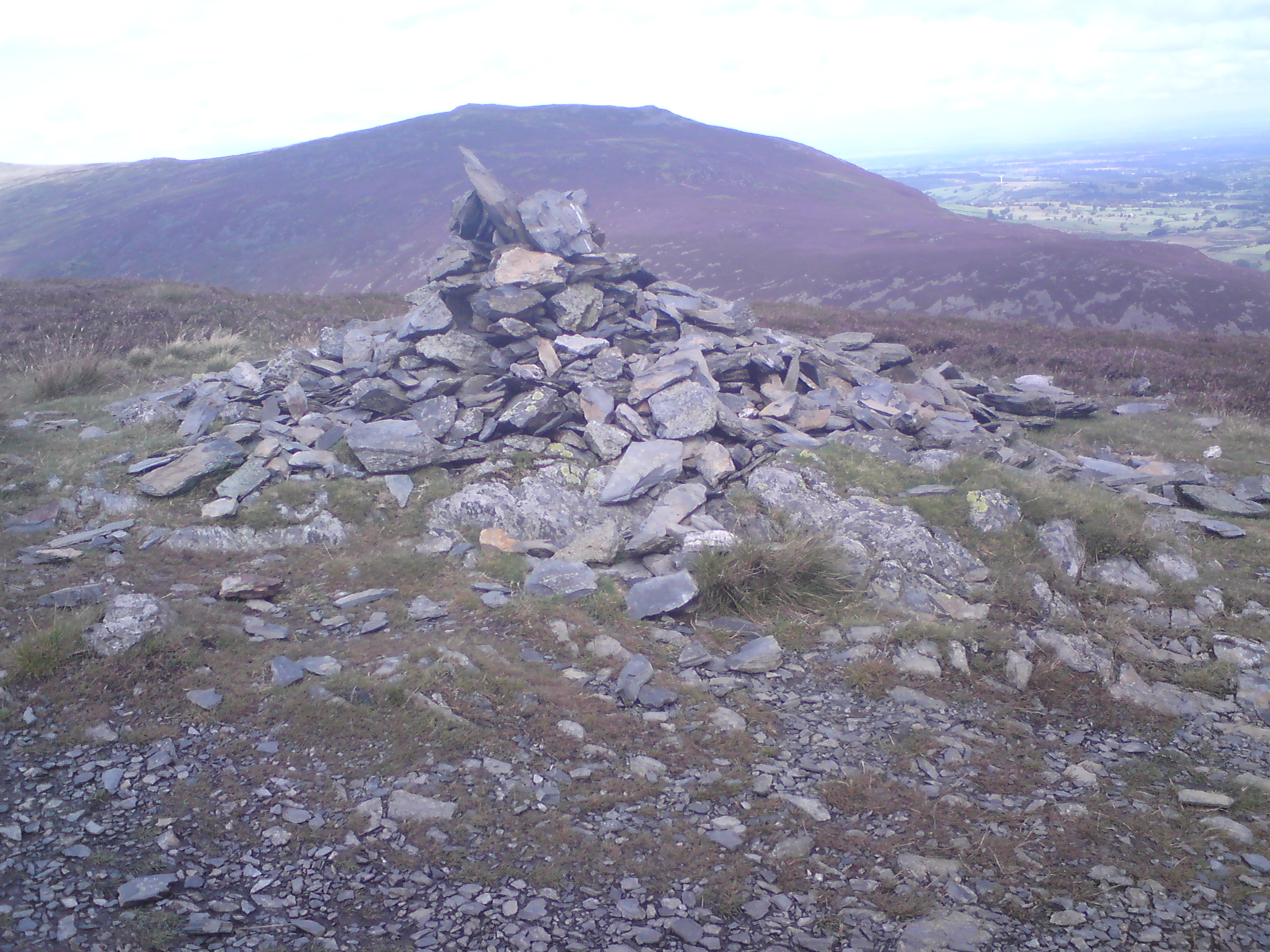
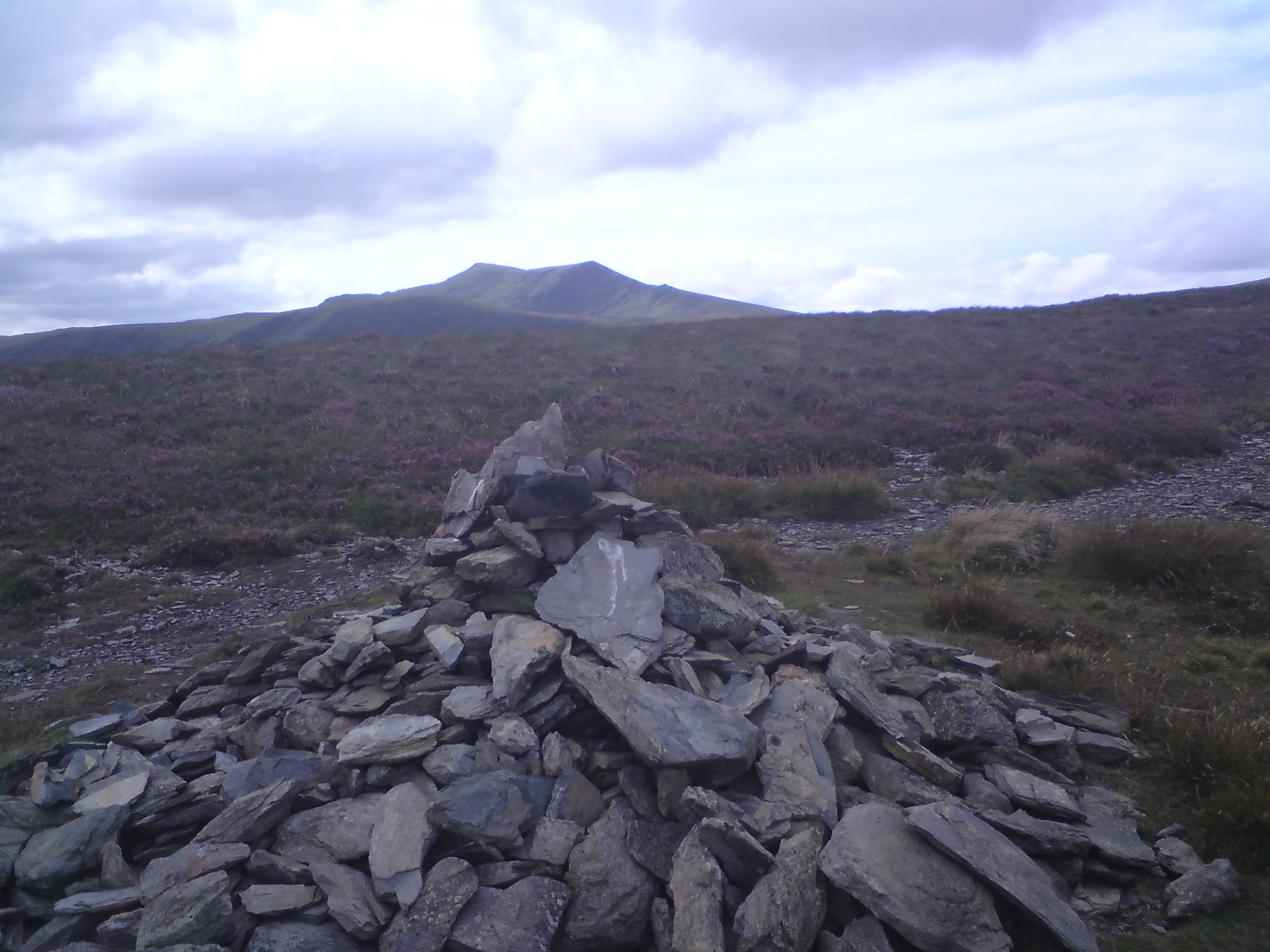
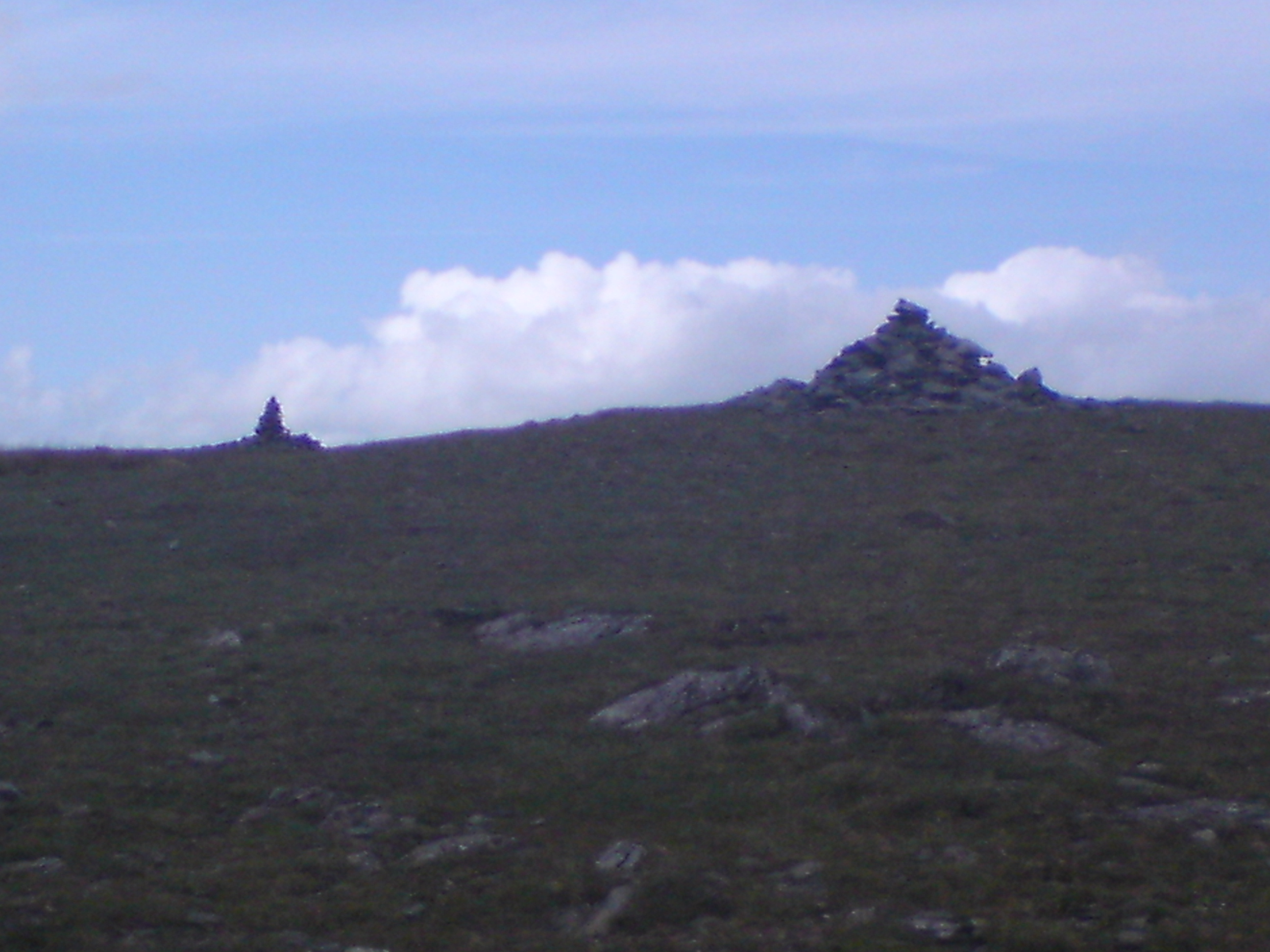
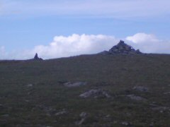
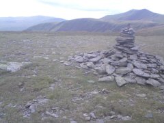
ascent was becoming a little friendlier. Along the path it becomes obvious that there are numerous 'pile of stones' which if
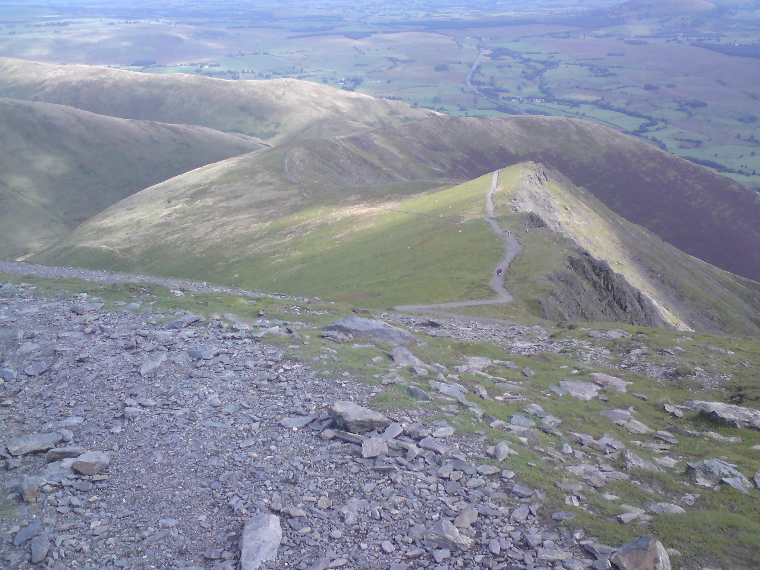
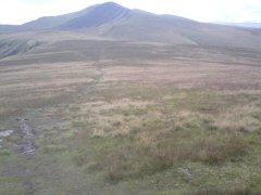
nothing else shows the course of the path. Helvellyn was in sight now as well as Atkinson Pike and Blencathra. The gradual gradient
I could now see was shattered by a 600ft last haul to Atkinson Pike.

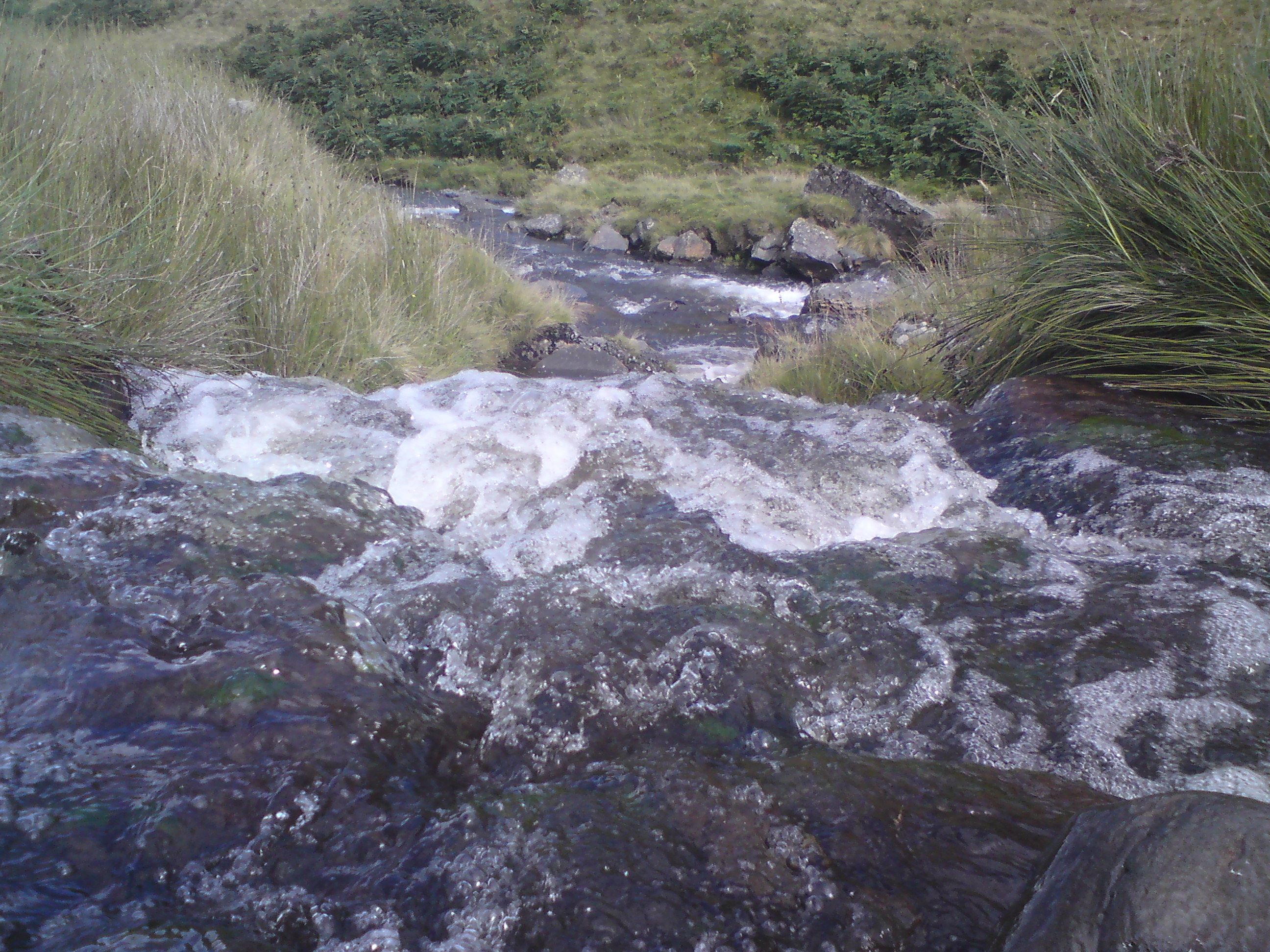
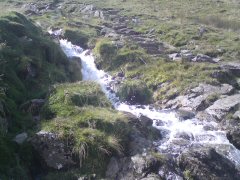
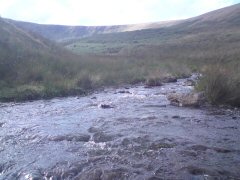
Bowscale Fell even in this the good weather of the day was still very boggy. I kept losing the path as it scatters out as people have tried to avoid wadding knee deep in peat.
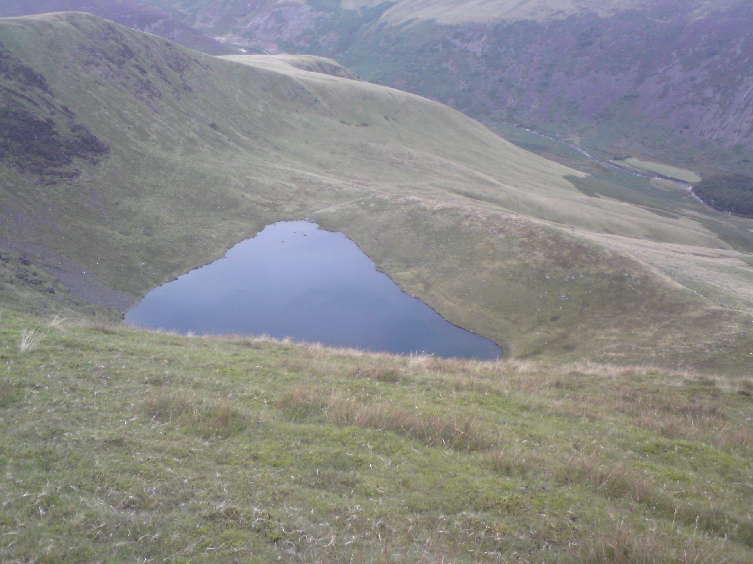
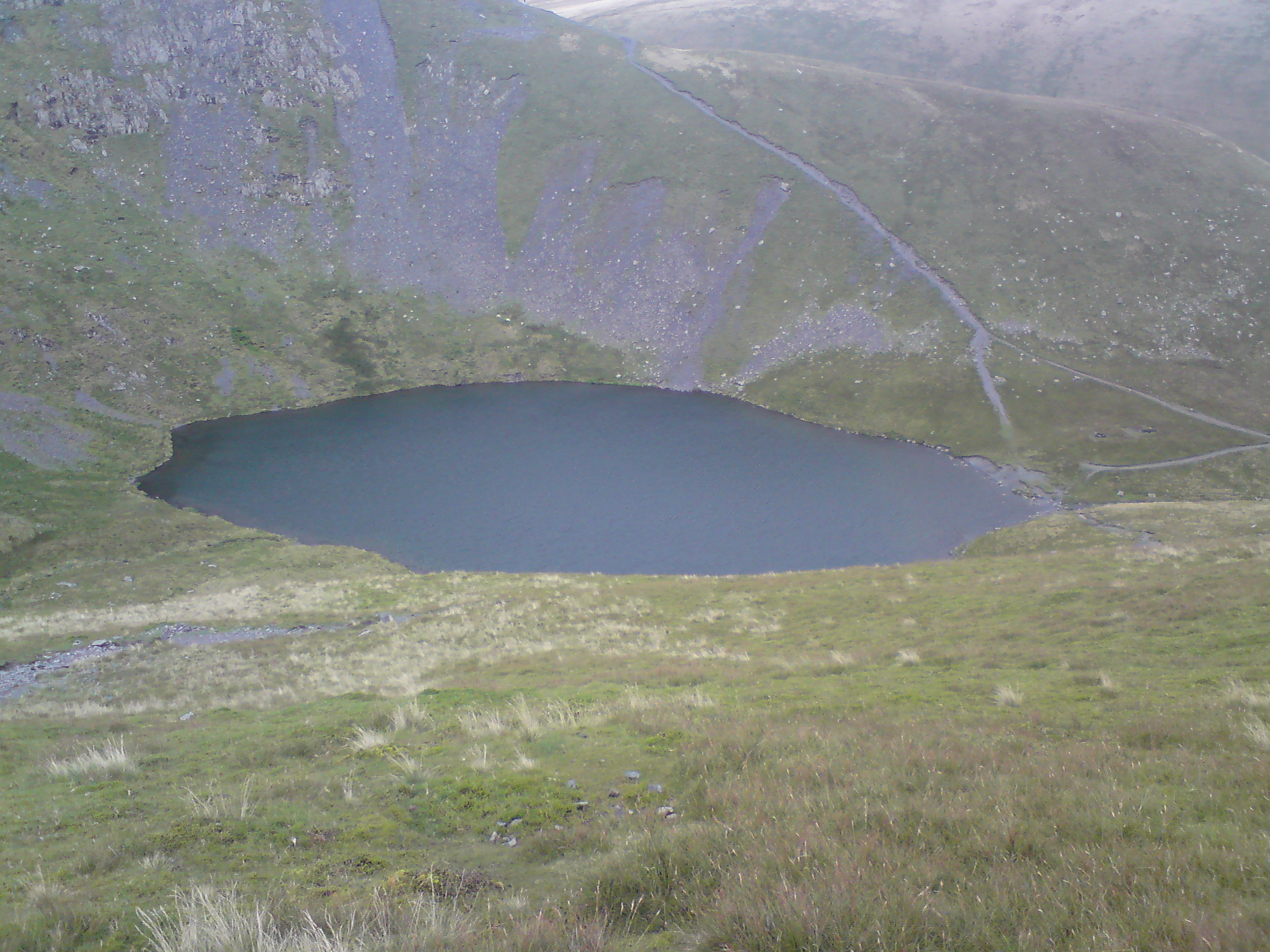
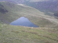
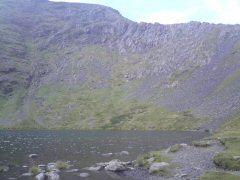
I tried to get a picture of Bowscale Tarn, but the drop down was to much on the
slippery grass. So I only managed to see, I think about half of it. I did look
very peaceful down there.

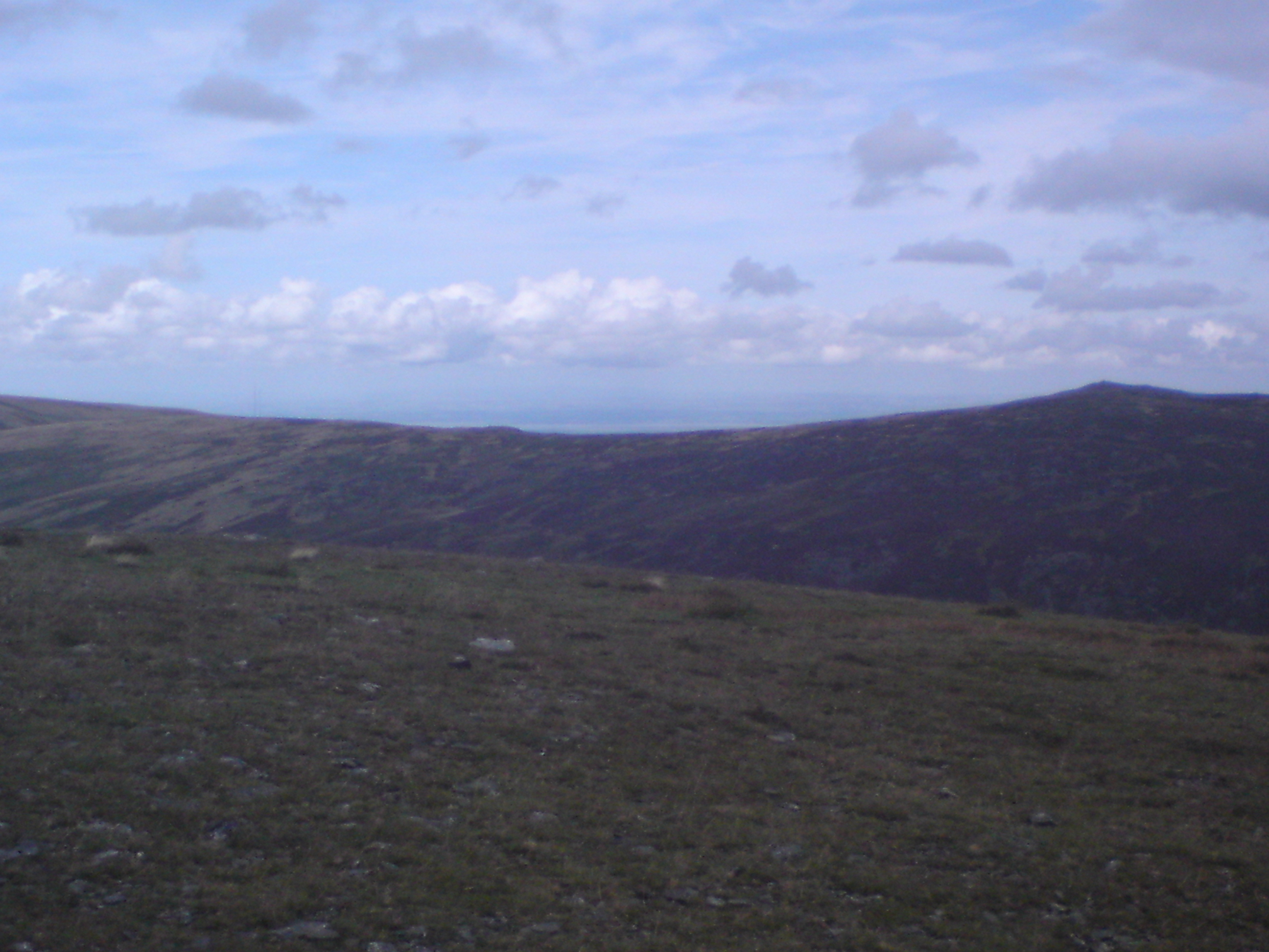
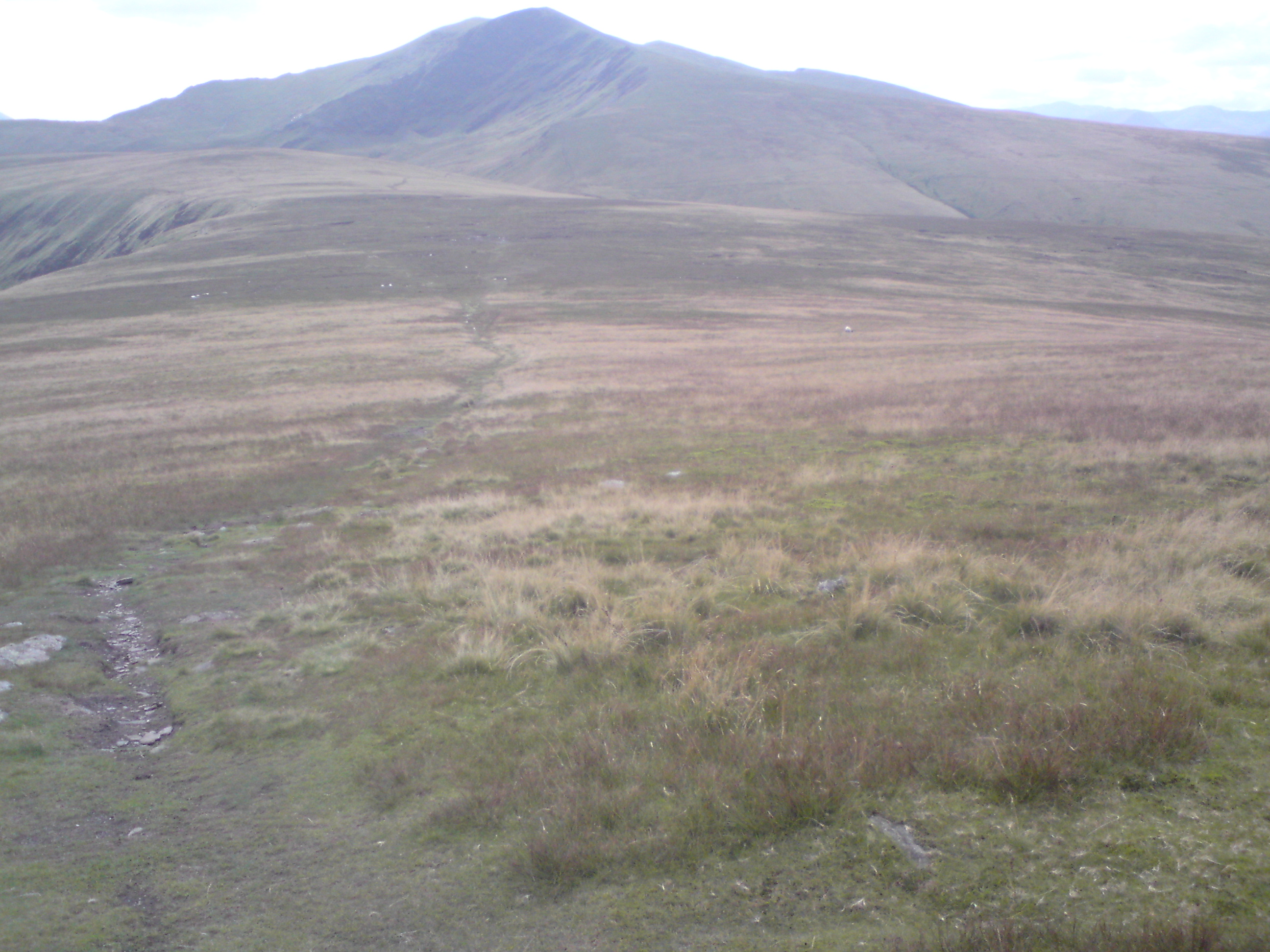
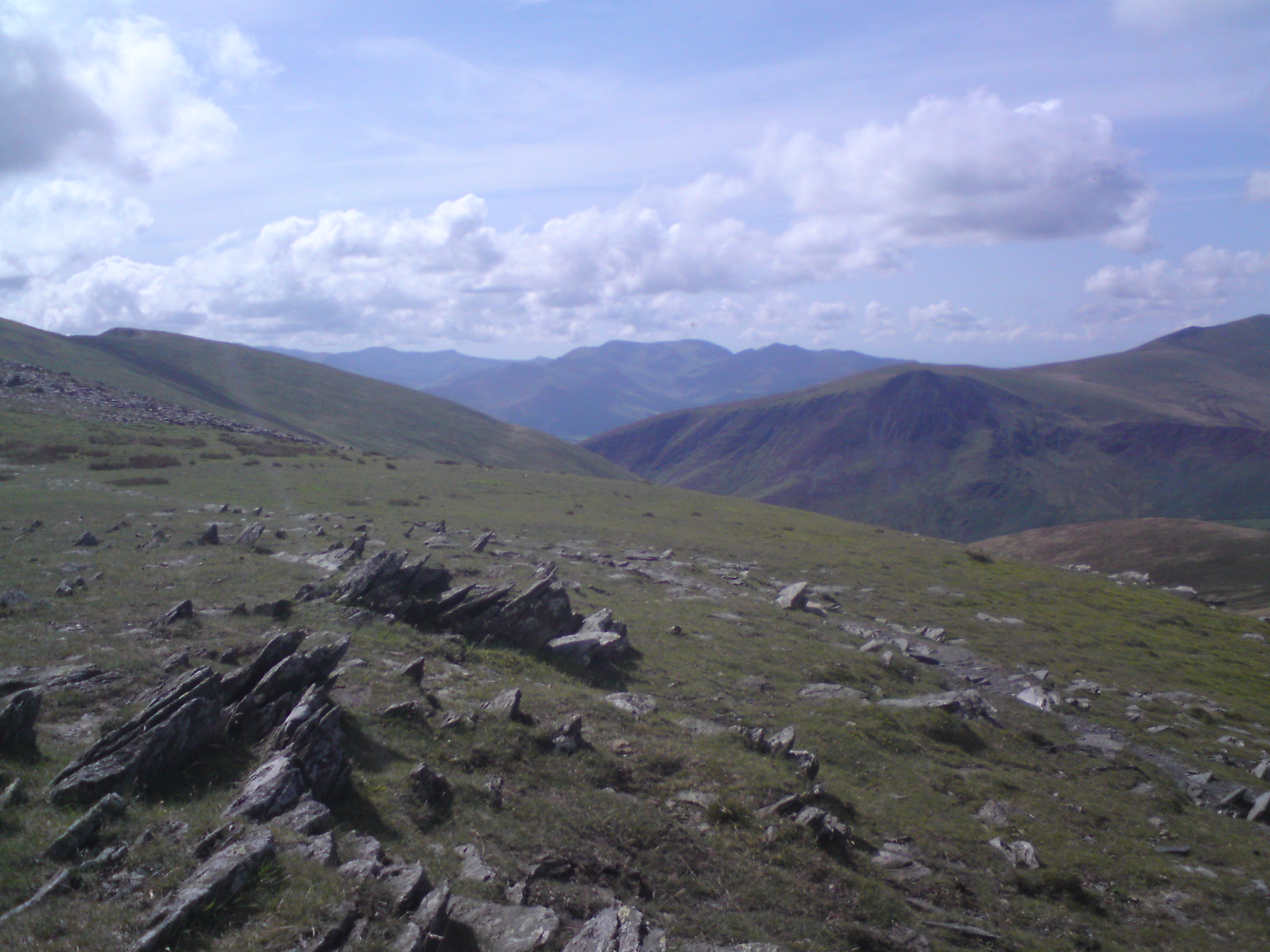
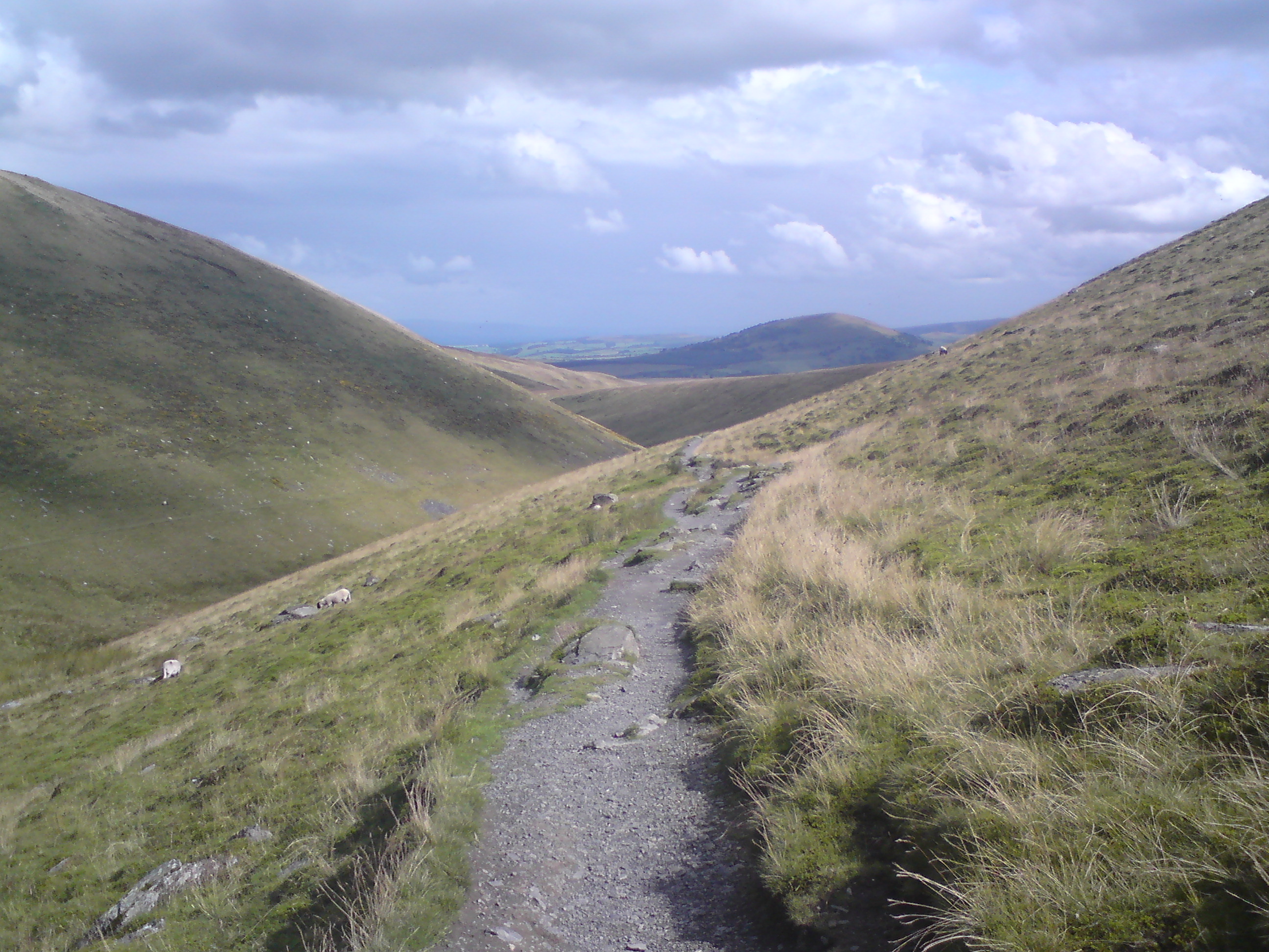
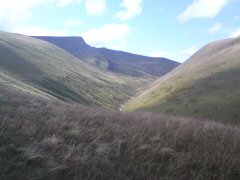
I was looking forward for a rest as I crossed Mungrisedale Common. The terrain had got better by now though.
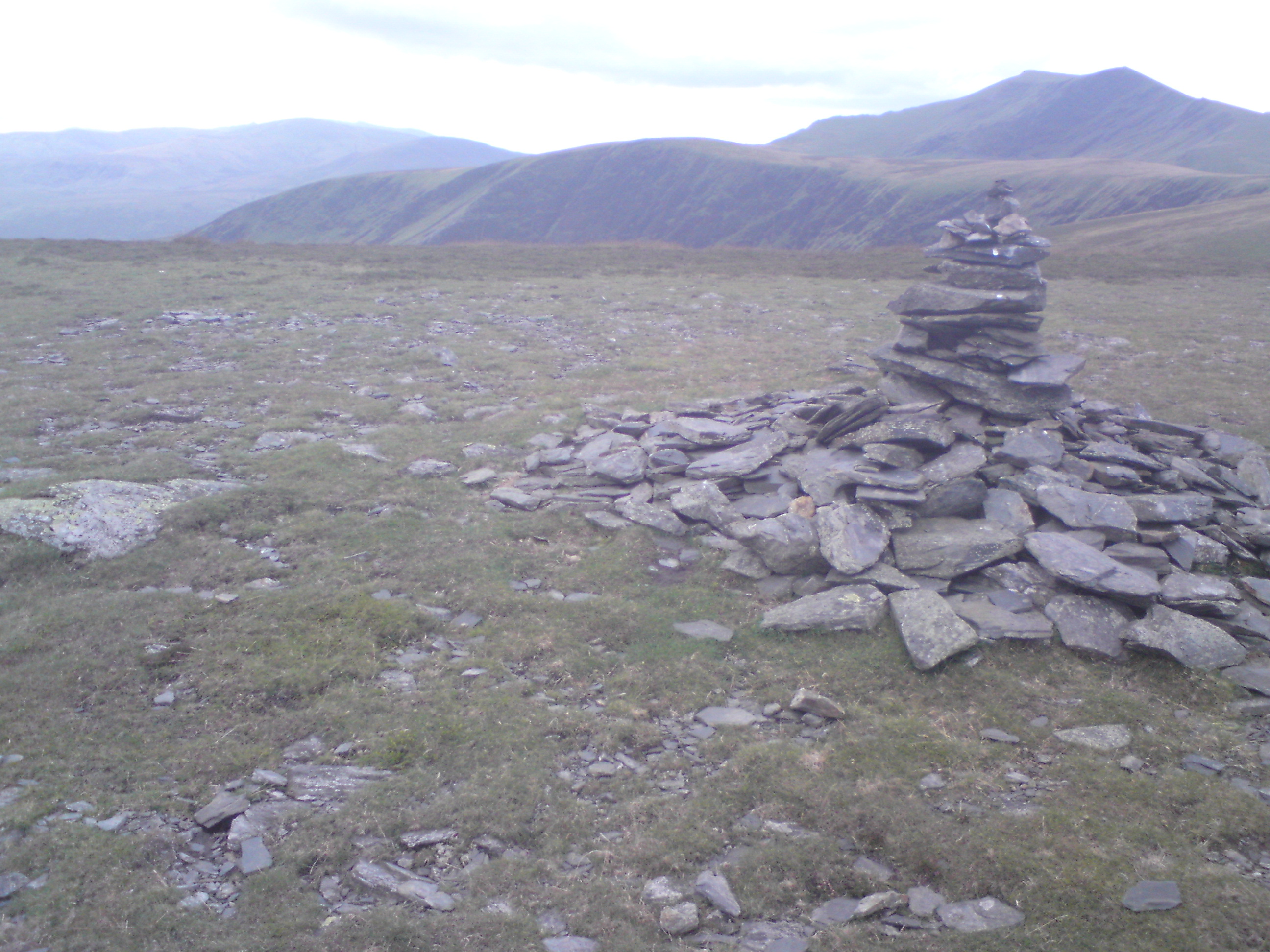
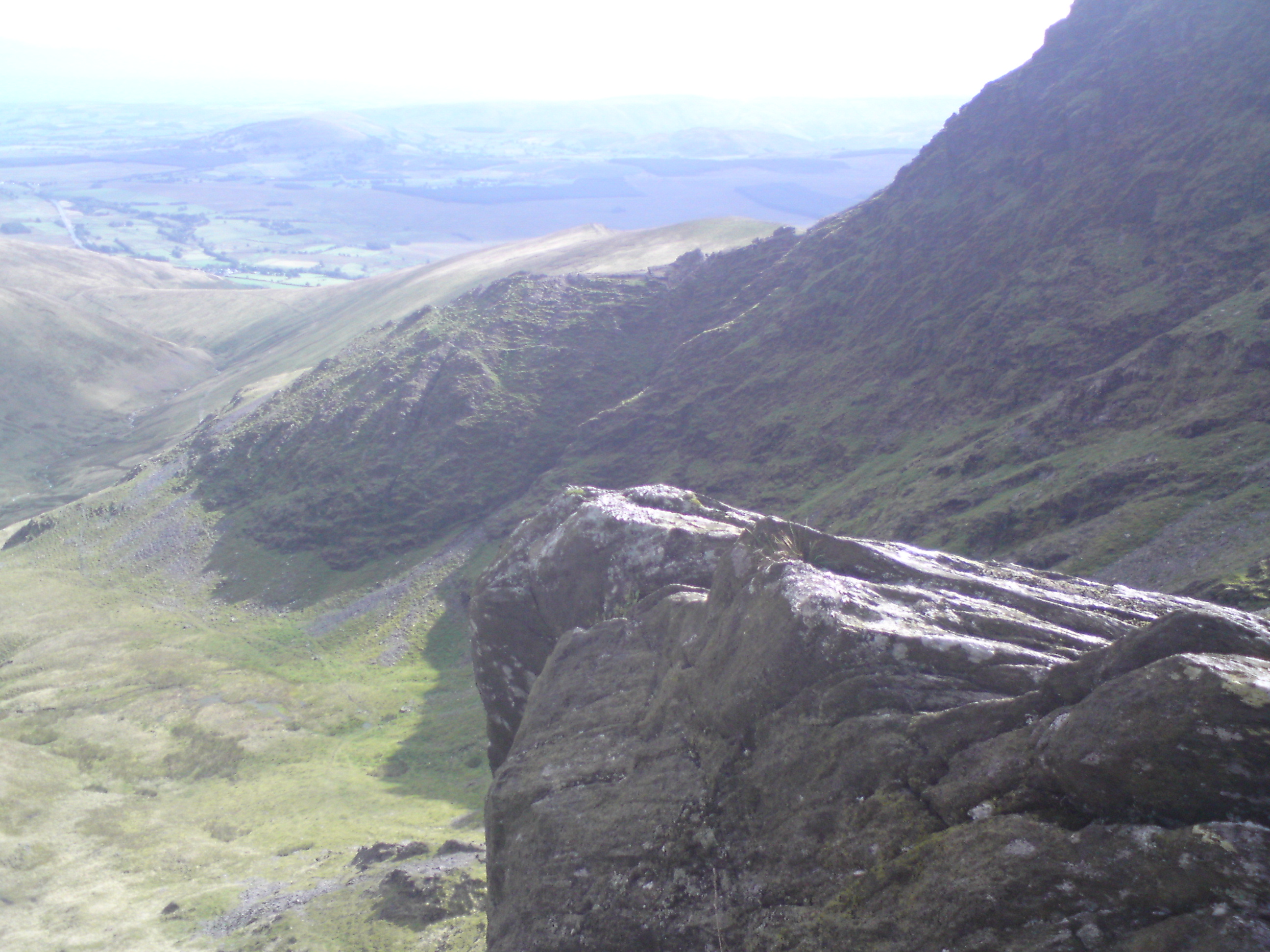
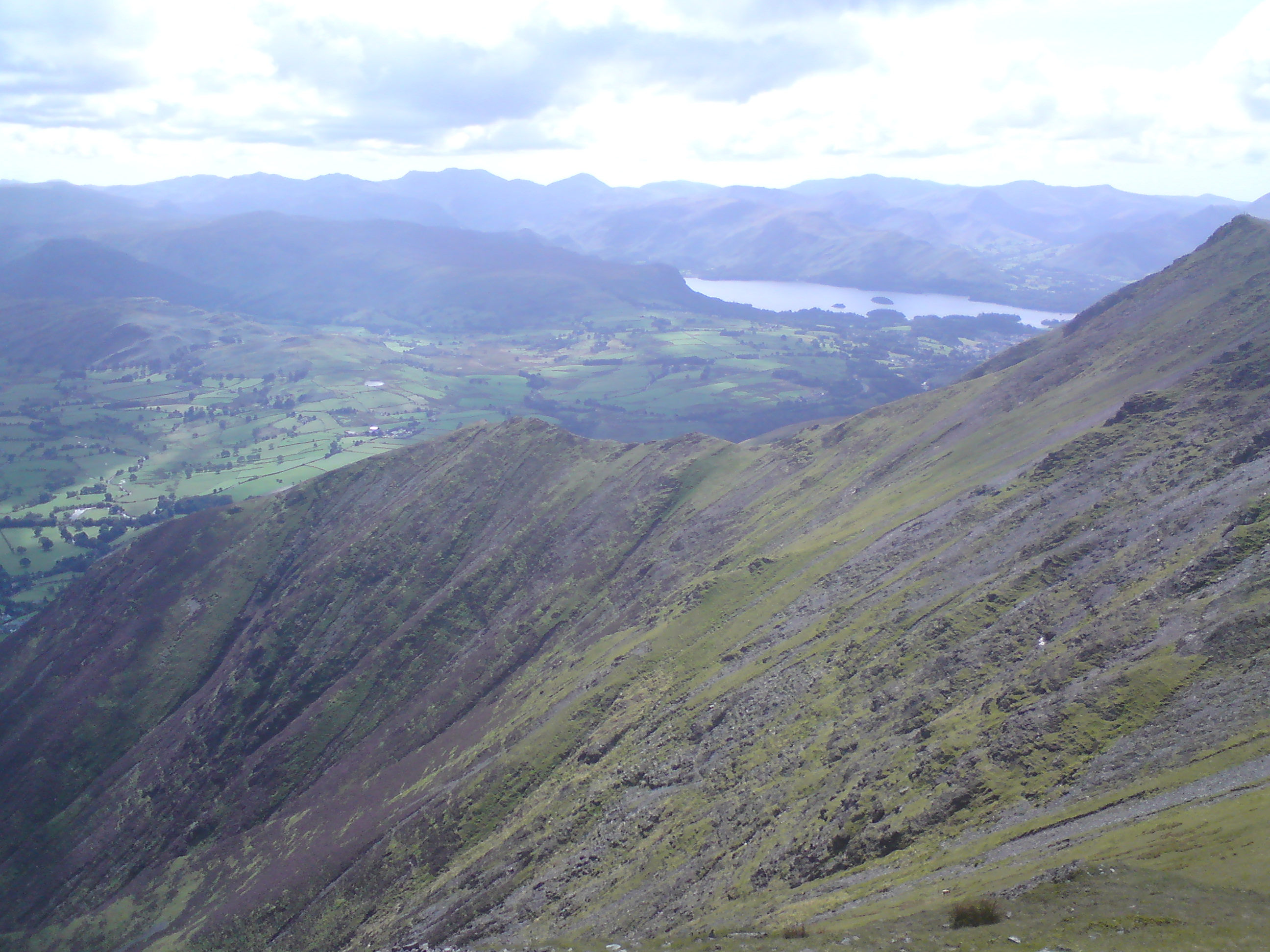
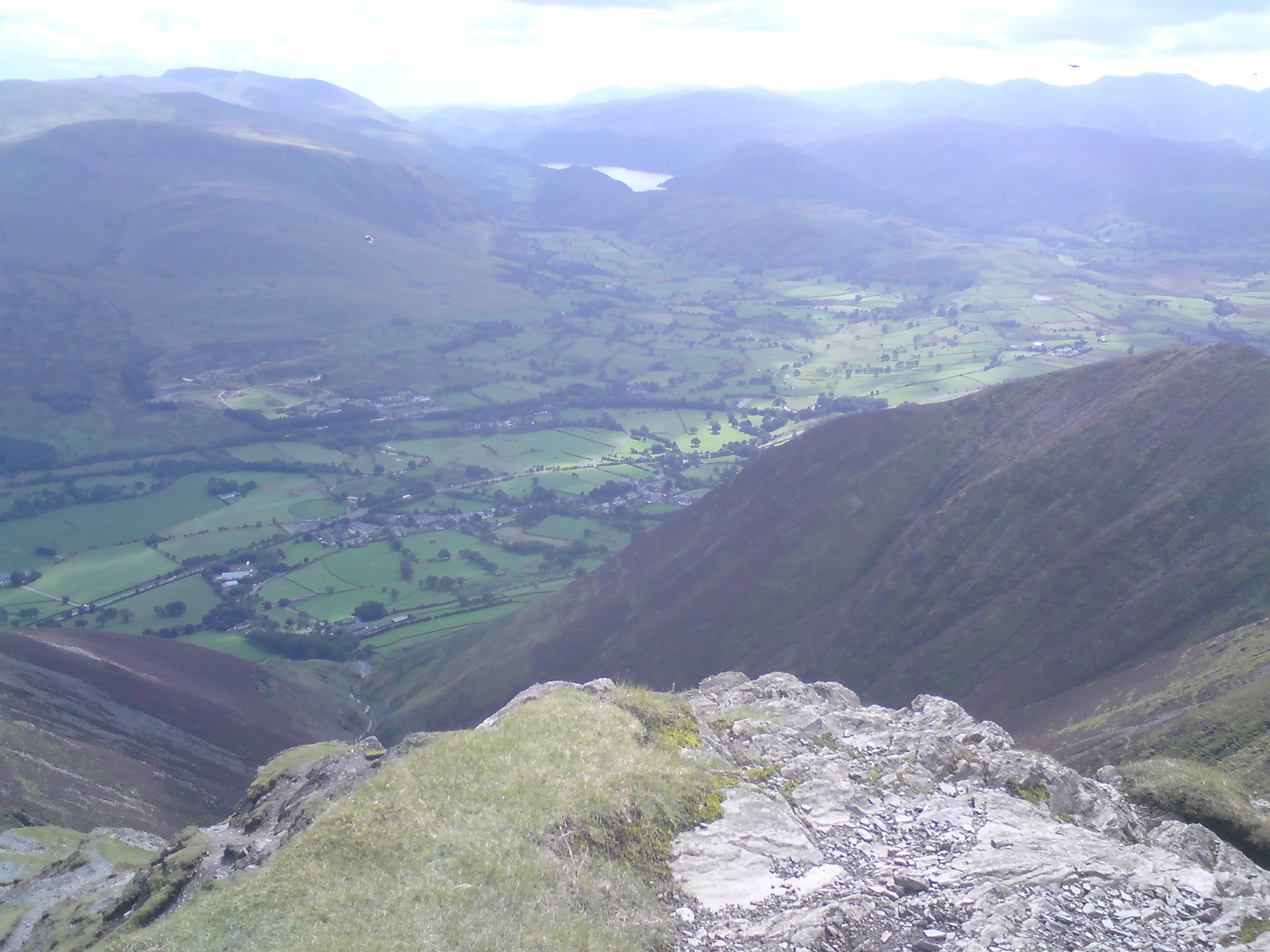
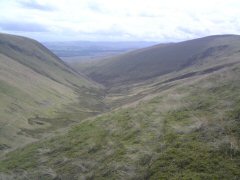
I stopped for a rest by some rocks on the accent to Atkinson Pike. With a
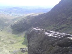
magnificent view down the valley, with Sharp Edge on the right
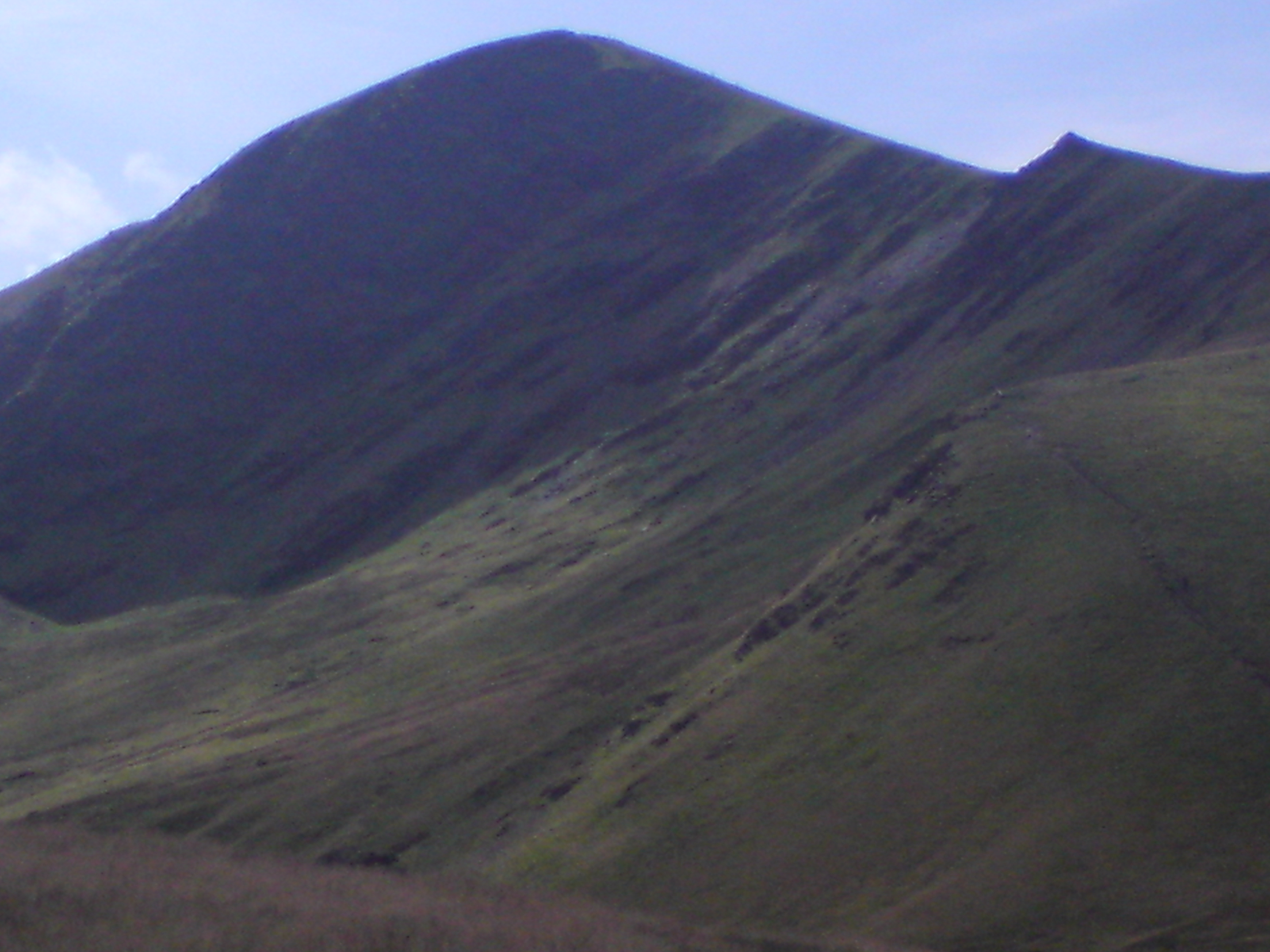
After my well earned break I continued up to Atkinson Pike, which did not reward one with the view I had expected. Though the view
still a cracking sight. A view that reached the Pennines.
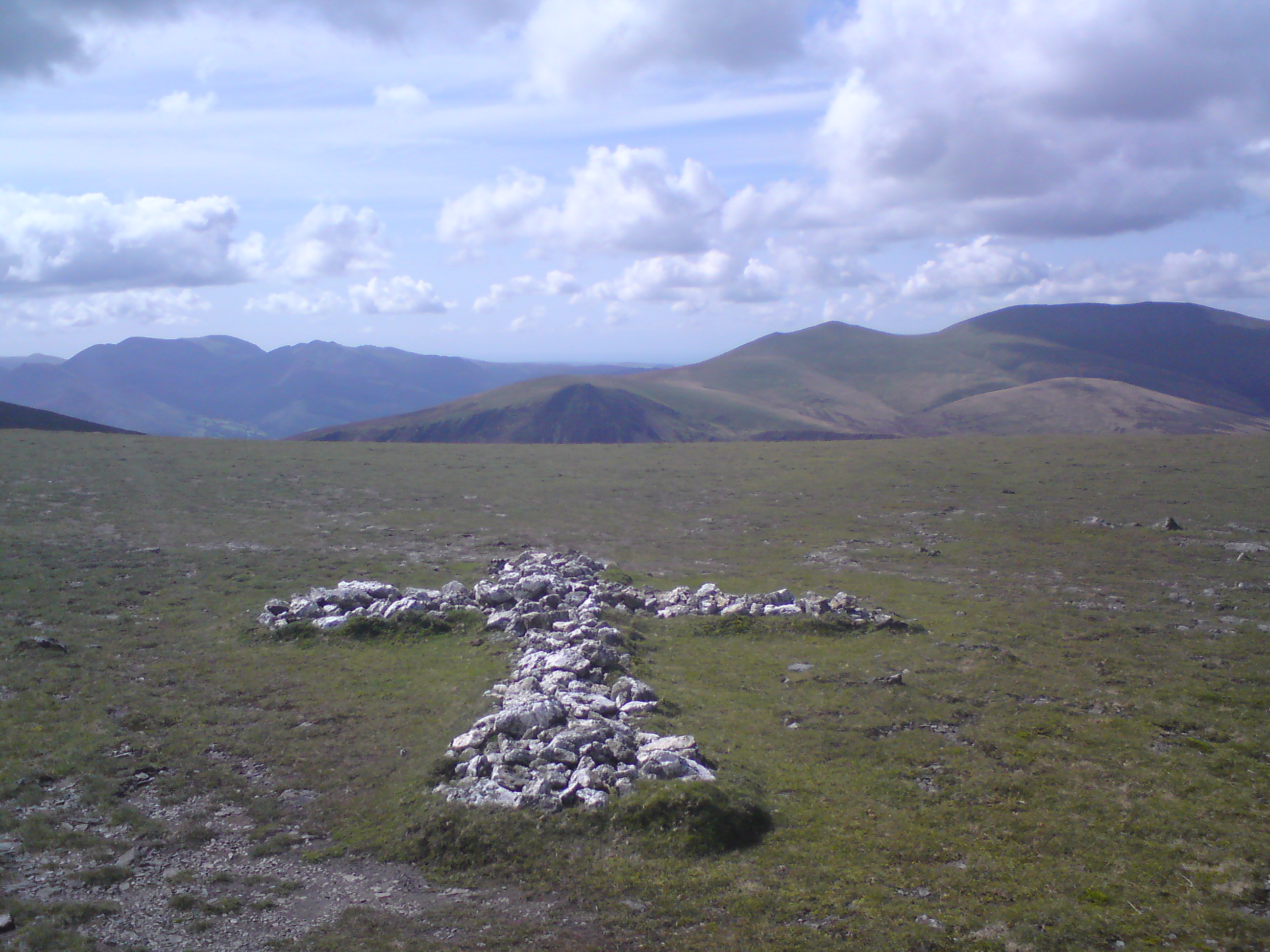
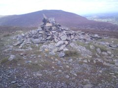
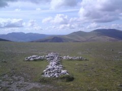
Shortly after Atkinson Pike there is a cross laid out on the ground, made up out of white quartz
stones. Allegedly it was put there in memory of a walker who had died near the
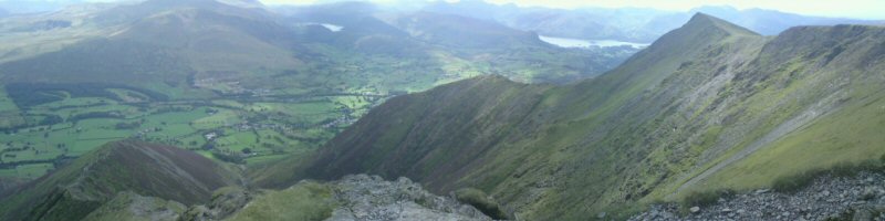
spot. From here it was only 1/4 mile to the summit of Blencathra. The view here
was worth the walk. I picked a spot at the head of Hall's Fell Ridge to sit and
take in the surroundings. It almost equalled Fairfield (which was my first real
fell walk under my new passion for walking).
"This is a mountain that compels attention,
even from those dull people whose eyes are not habitually lifted to the hills." -AW

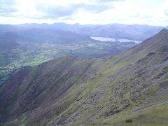

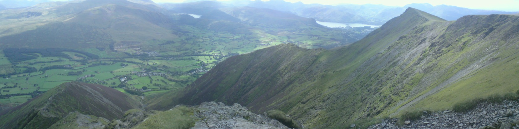
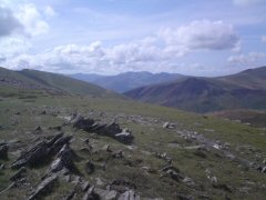
The spot where I sat faced south. Derwent Waters and Thirlmere were both in view,
along with the peaks of the Western fells.
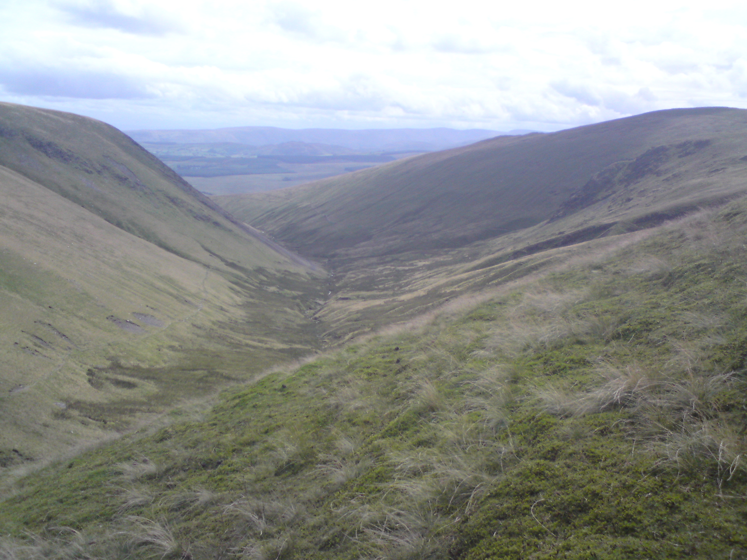
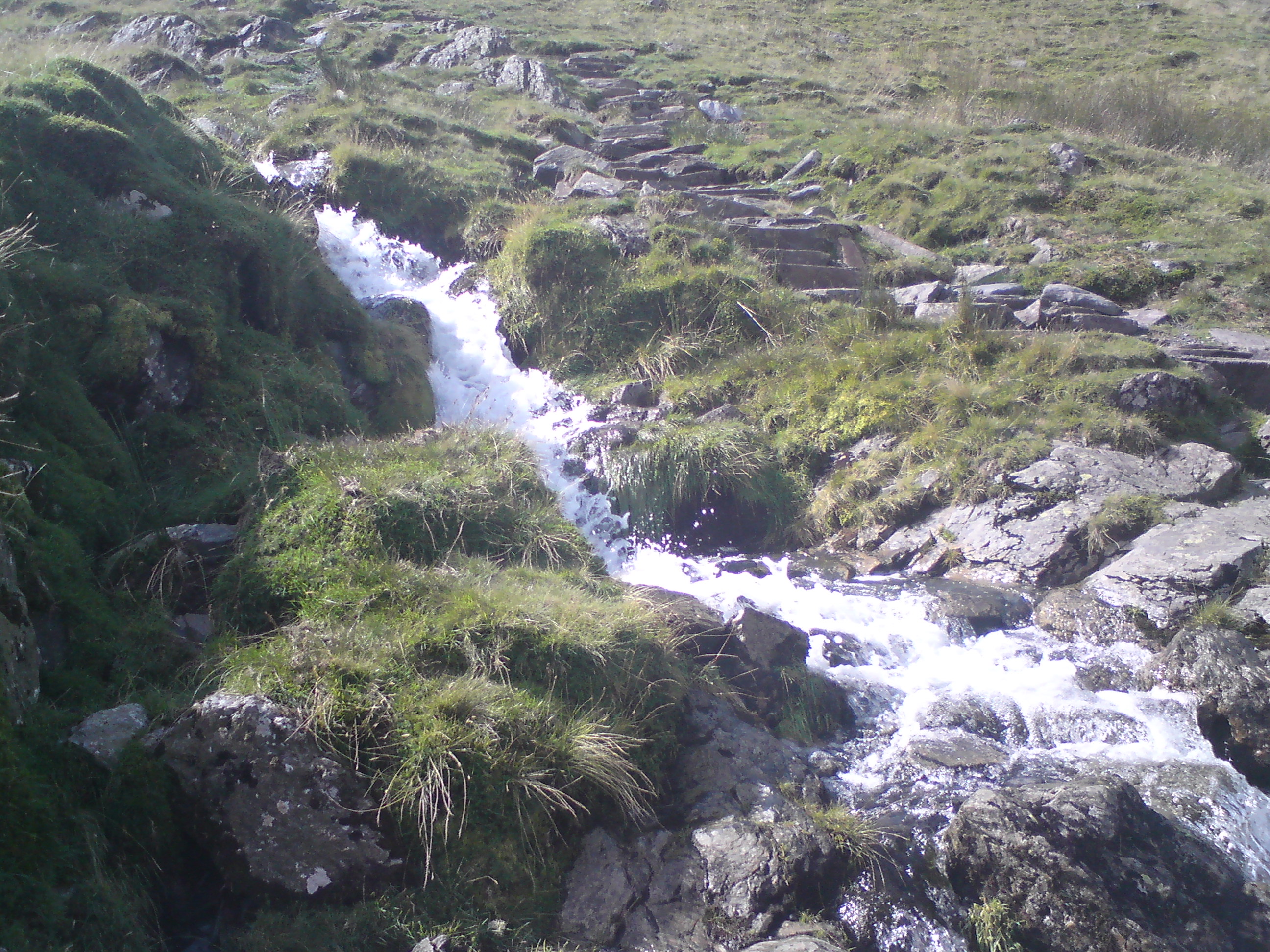
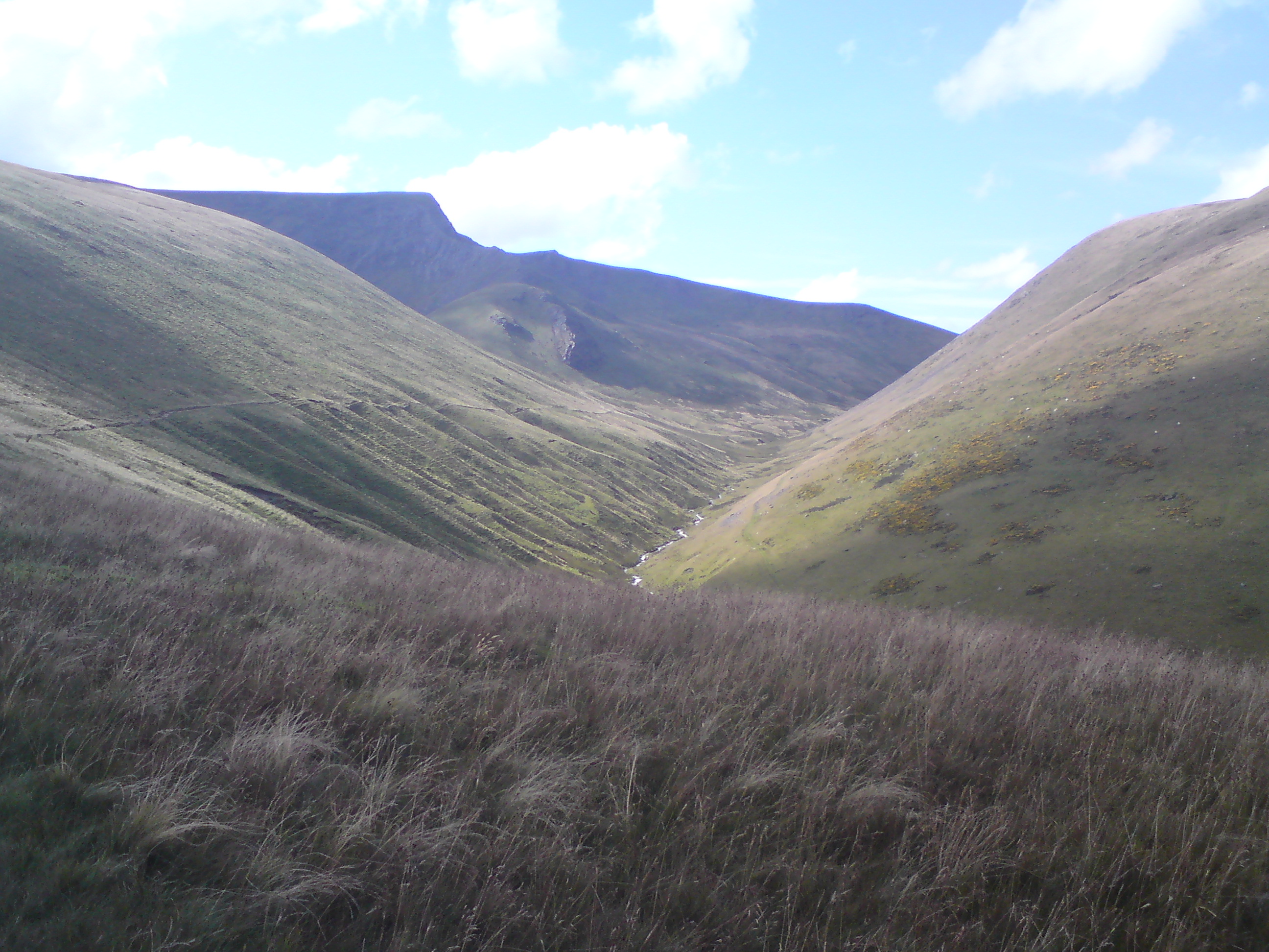
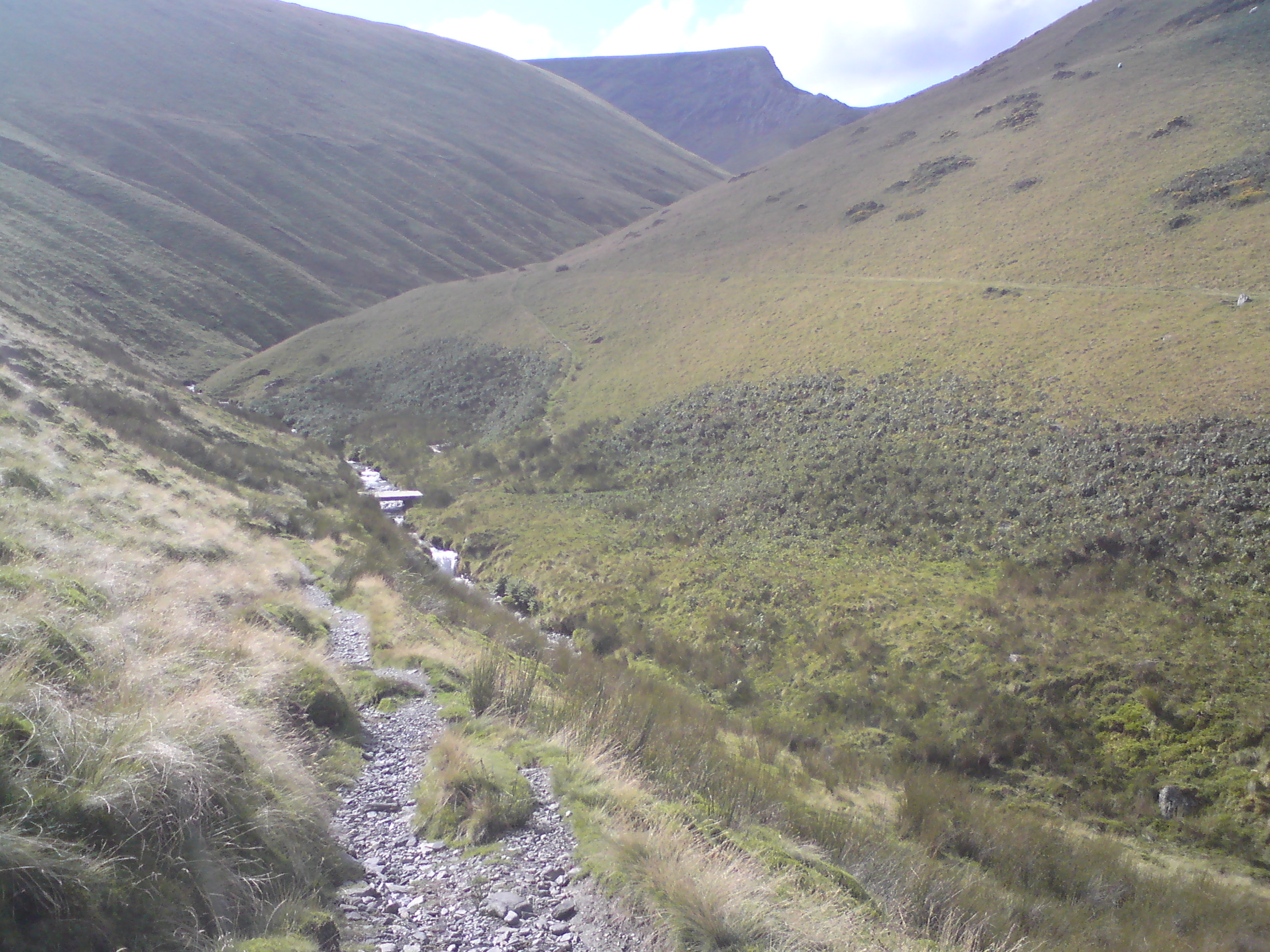
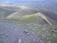
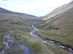
The route down was more picturesque then the route up. Like the start of the ascent, the descent was a steep one.
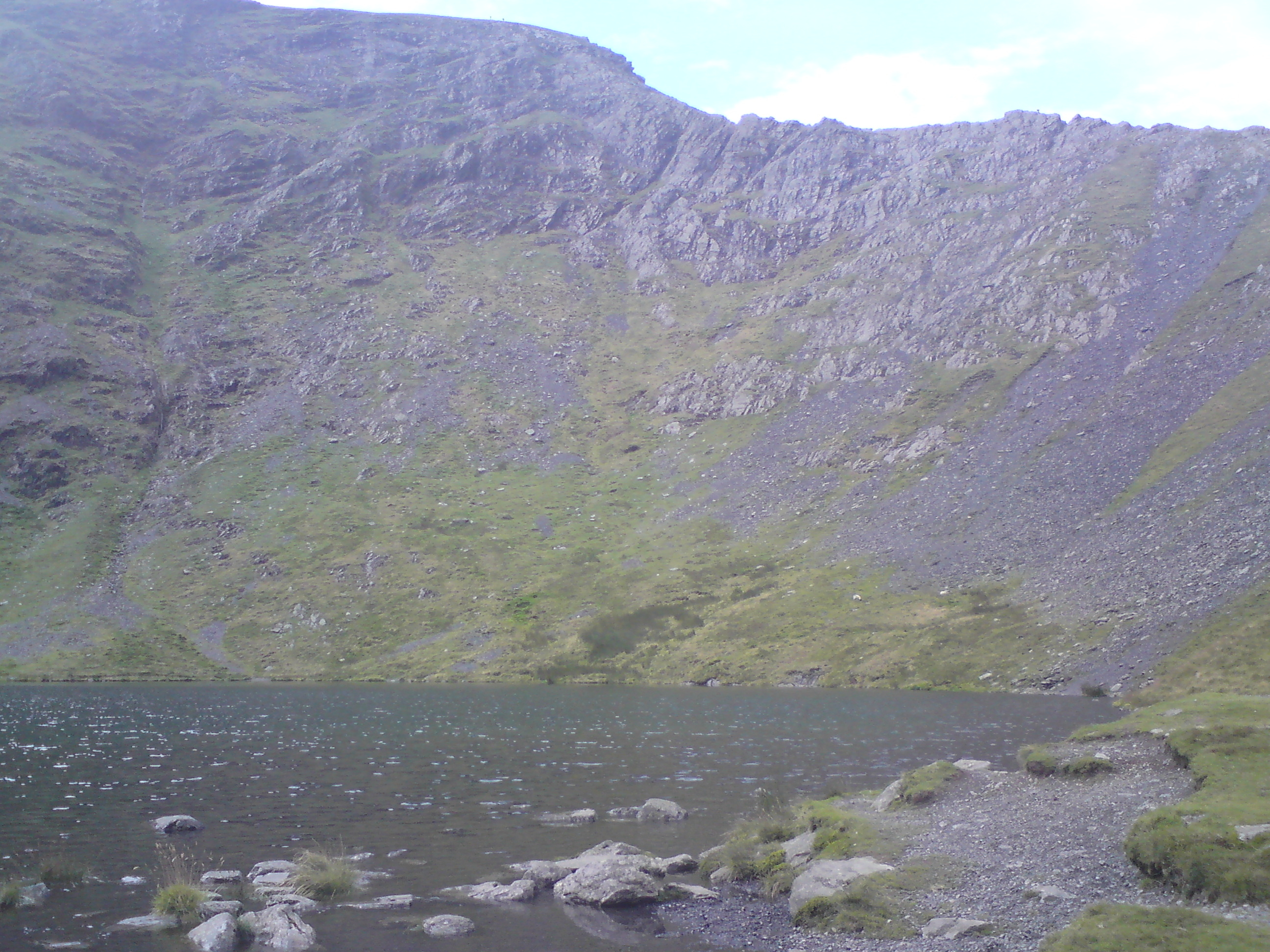
A real toe cruncher. It wasn't for Scales Tarn to come into view, plus a
scramble down the hill after I missed the turn for the path. Down at the Tarn
there is a great view of Sharp Edge.

Once pass the Tarn the route was very quite, in fact not one wther person did I pass all the way back to the road.


Back To The Top