Halfway To Helvellyn
21st March 09
| Halfway to Hel (GPX) (right click>save as) |
| TOTAL DISTANCE | 8.95 MILES | TRIP TIME | 4 HOURS 00 MINUTES | |||||||||
| AVERAGE SPEED | 2.23 MPH | TOTAL ASCENT | 2235 ft | |||||||||
|
|
|
|
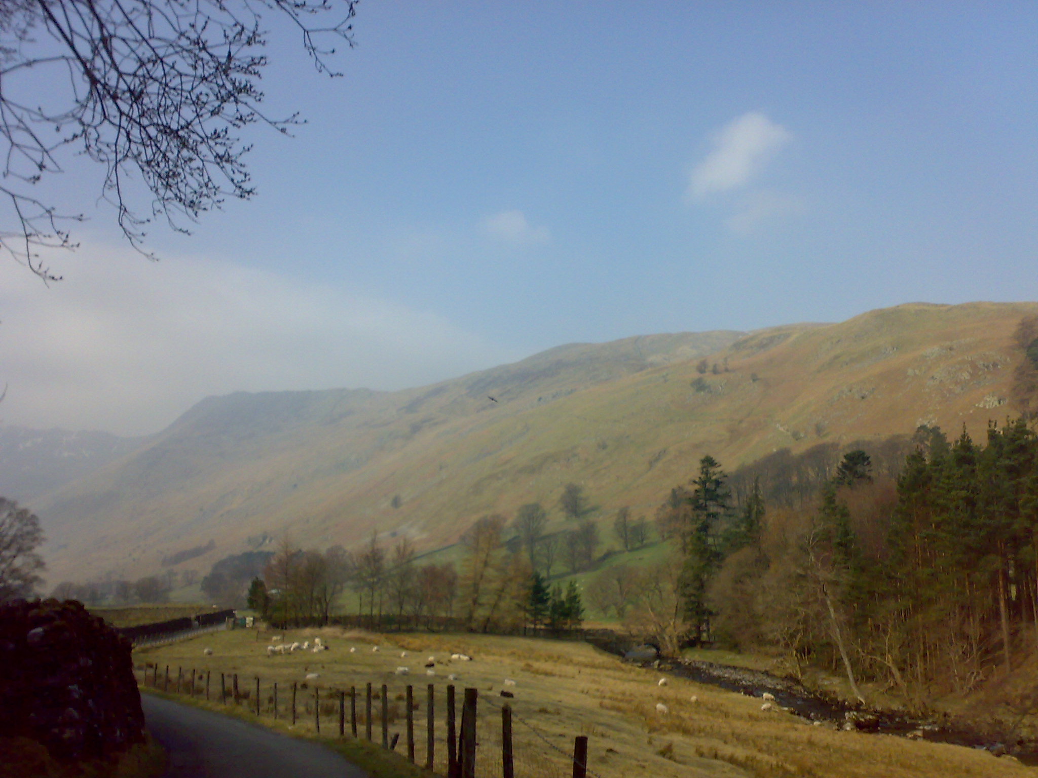
It was a quickly planned route as I thought I was going to be working all day. Originally was going to go to Keswick, but I didn't want to travel so far.
Anyway I got to Patterdale at 10:00 so was able to have a good walk. The plan was just to have a look from afar, Striding edge and Swirral edge for future ventures.
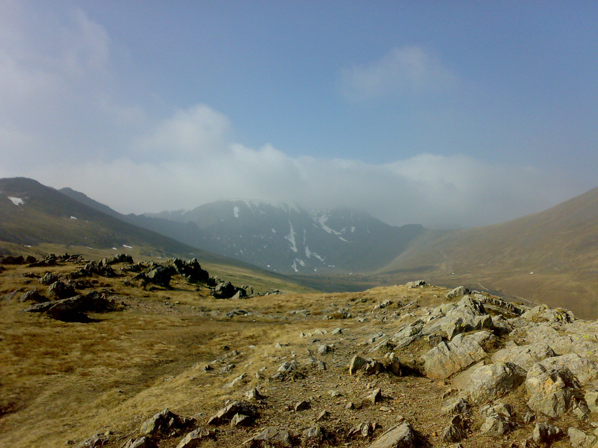
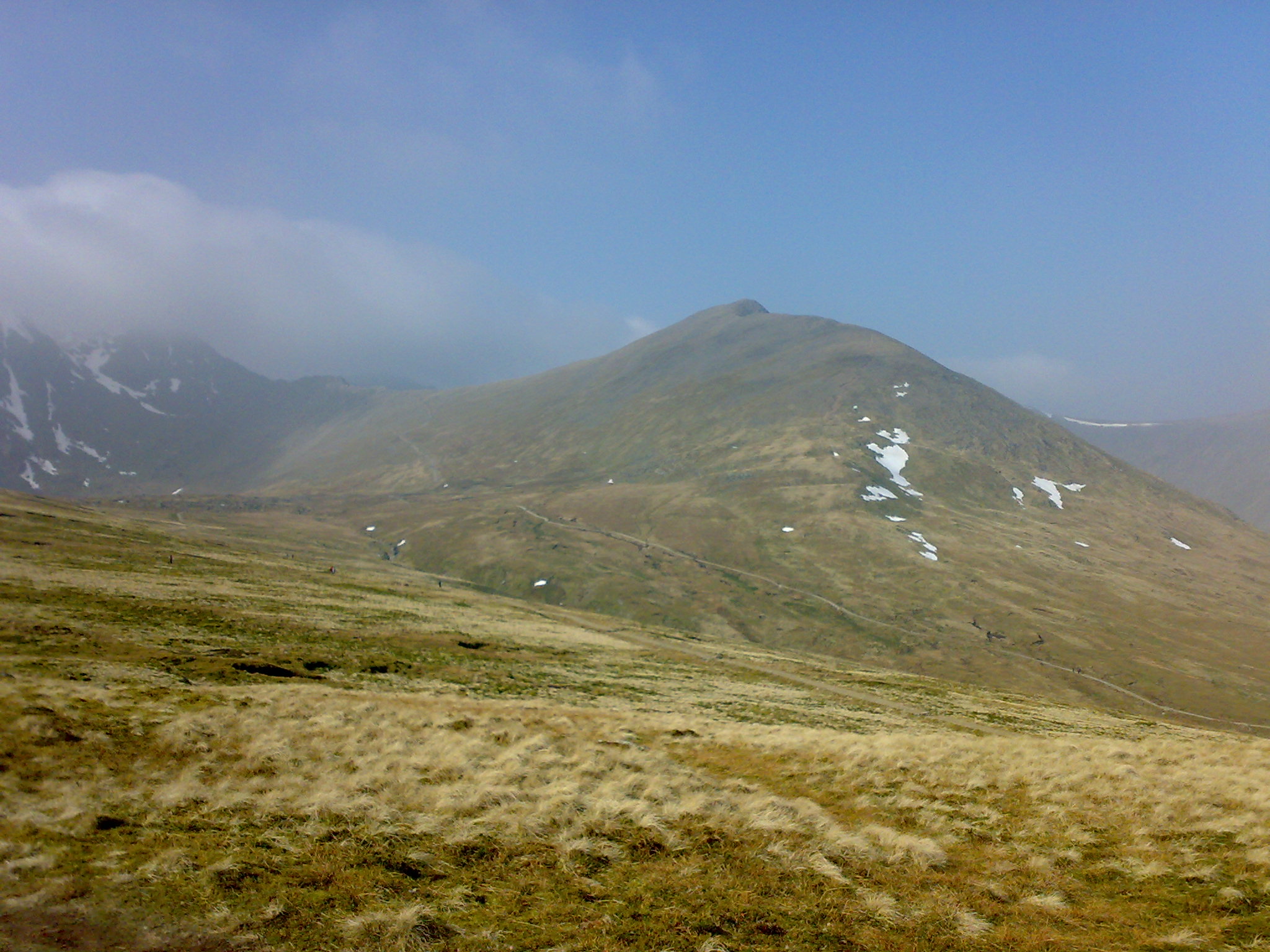
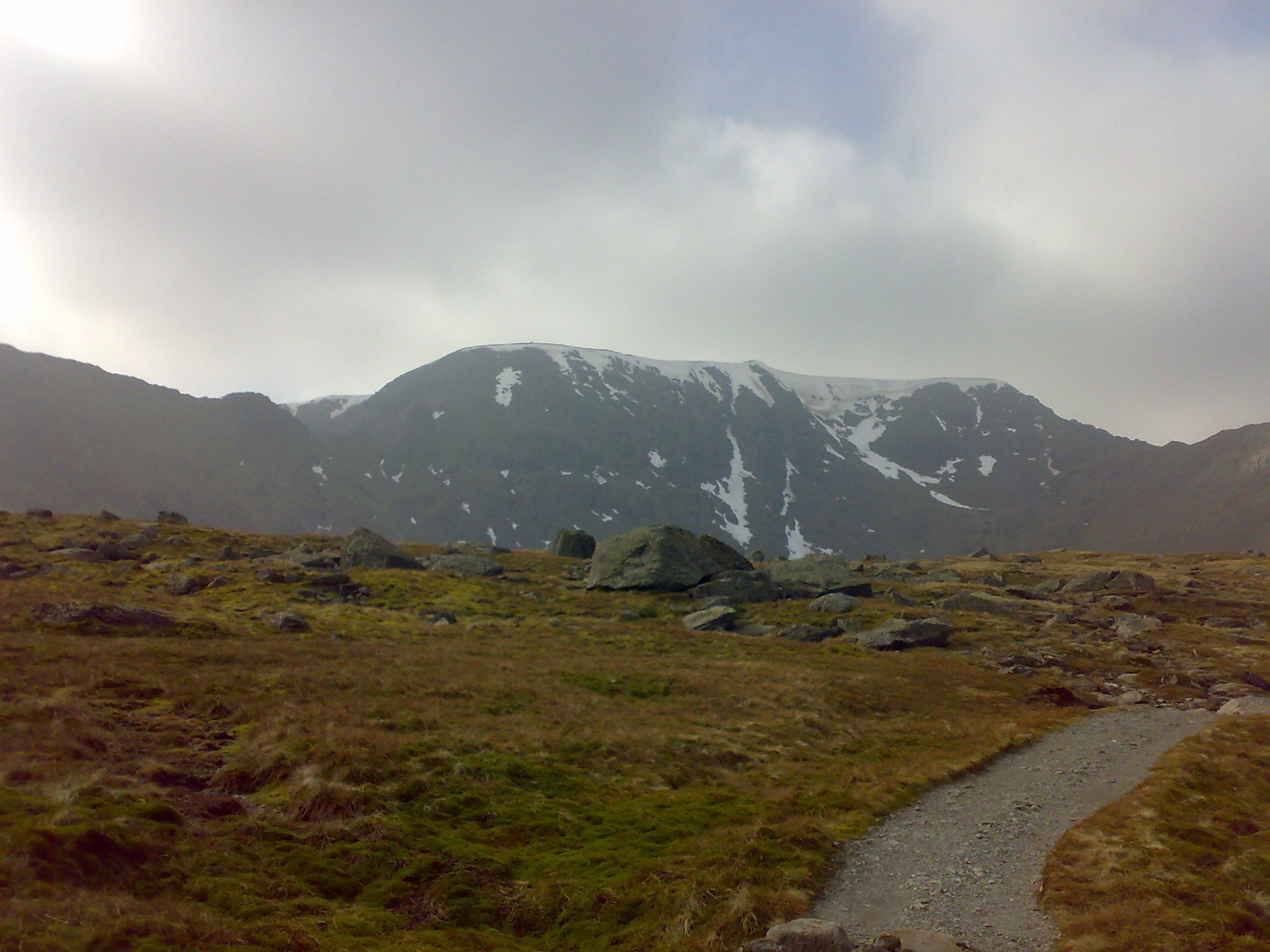
The weather was hazy but bright and mild. The start was fine for the first half mile. It then revealed itself. 2 miles of constant climbing. It had a lovely backdrop though. As the walk progressed Fairfield and Dolly wagon Pike came into sight. This was also daunting as it showed how high there was to climb. It was a little surprising the amount of different groups that were there. Which can only be a good thing, just wonder why I wasn't taken up Helvellyn aged 5?????
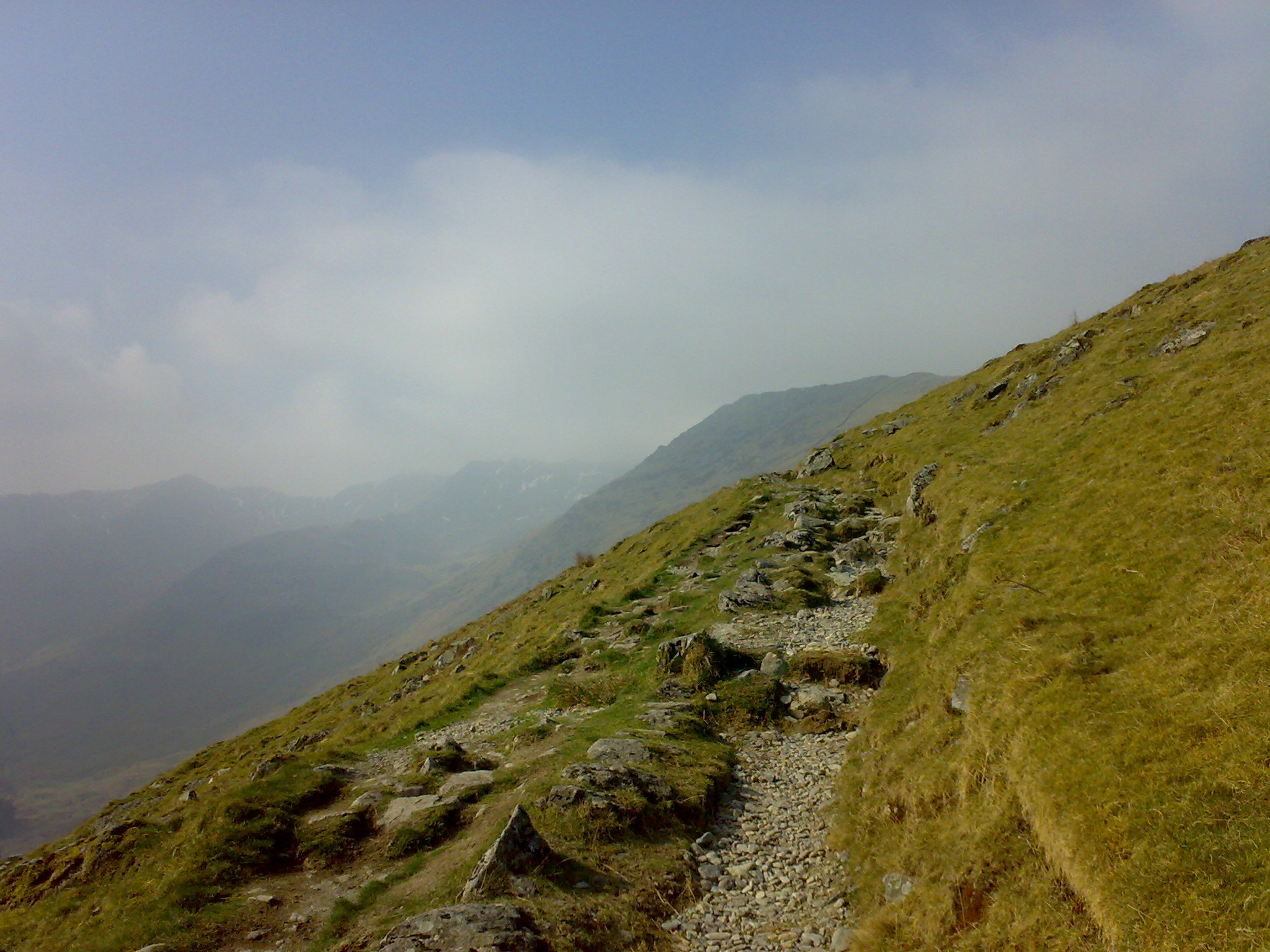
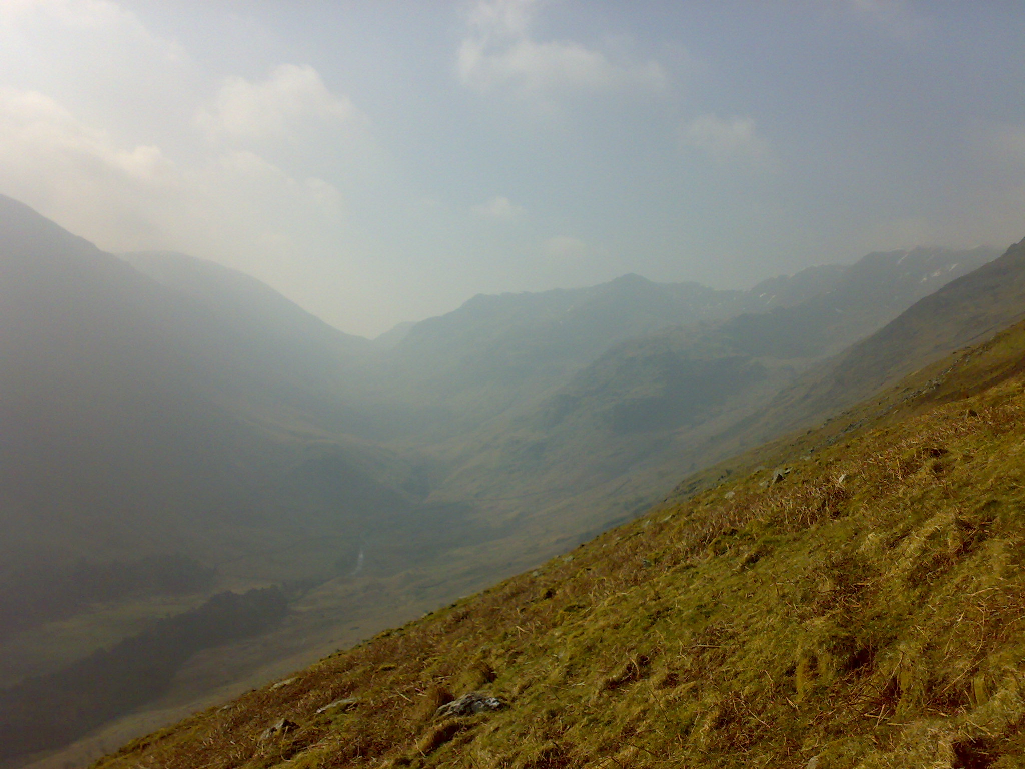
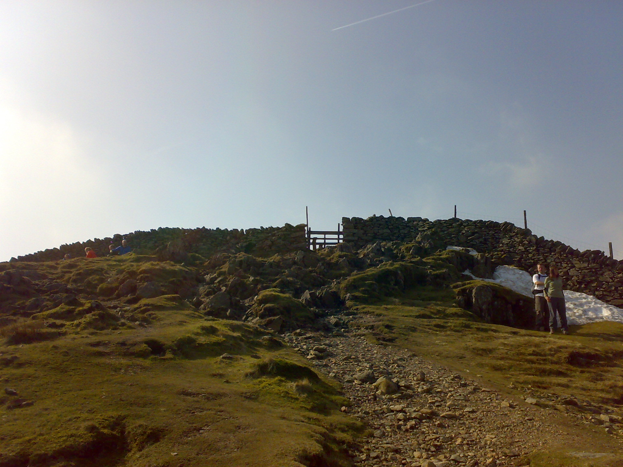
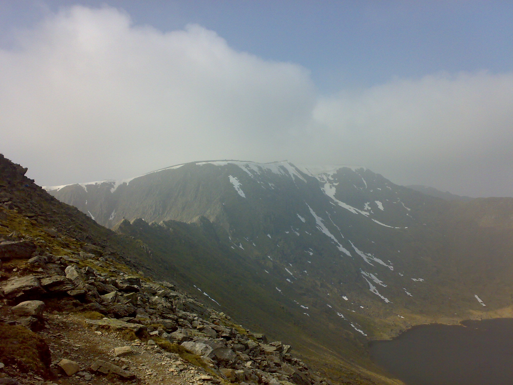
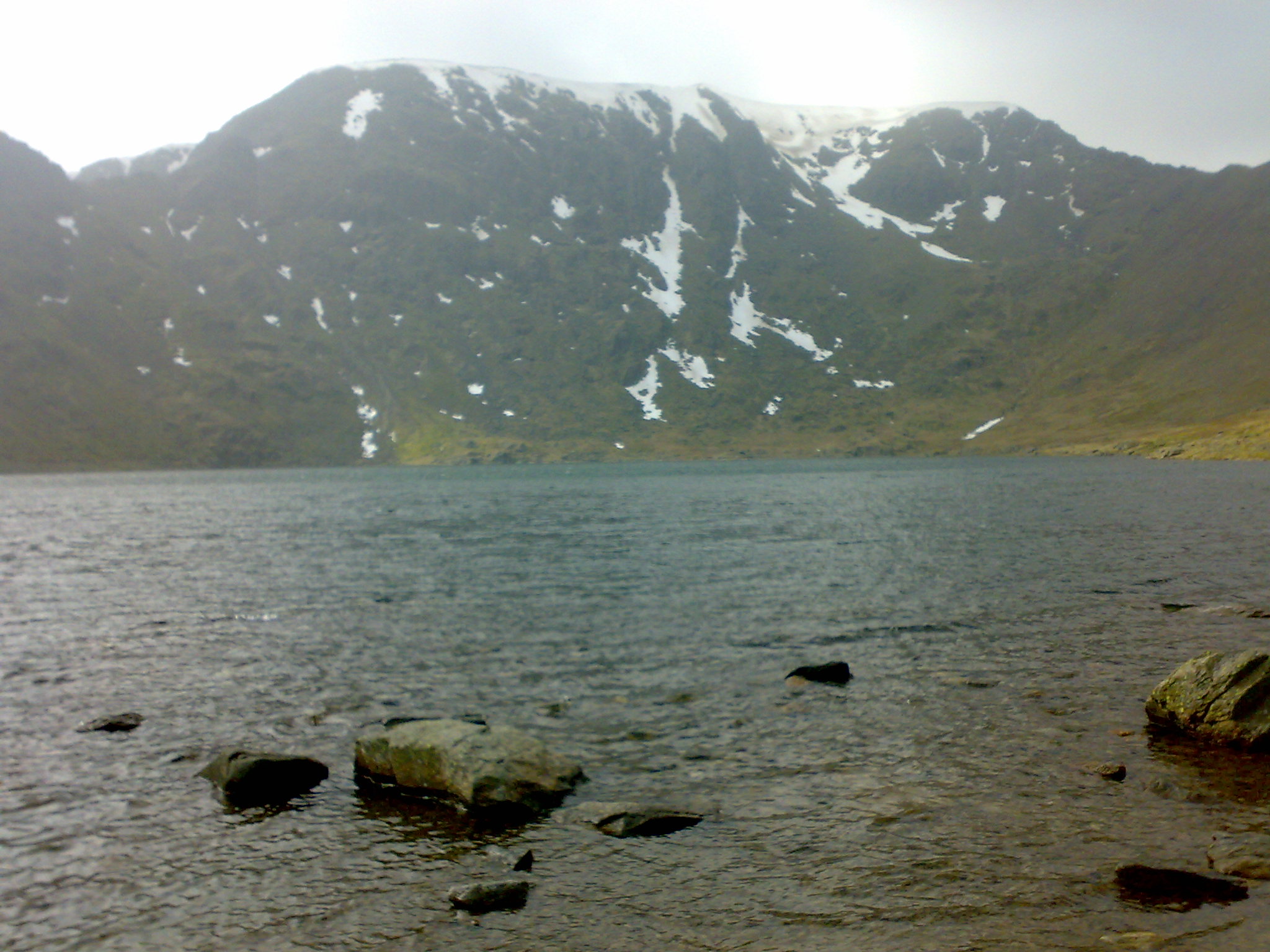
Hole-in-the-wall was a welcome relief to get to as the half mile before it was on this walk the steepest part upwards. The views of Red Tarn and the surrounding peaks are outstanding. It is a good plan to have a good rest at this point.
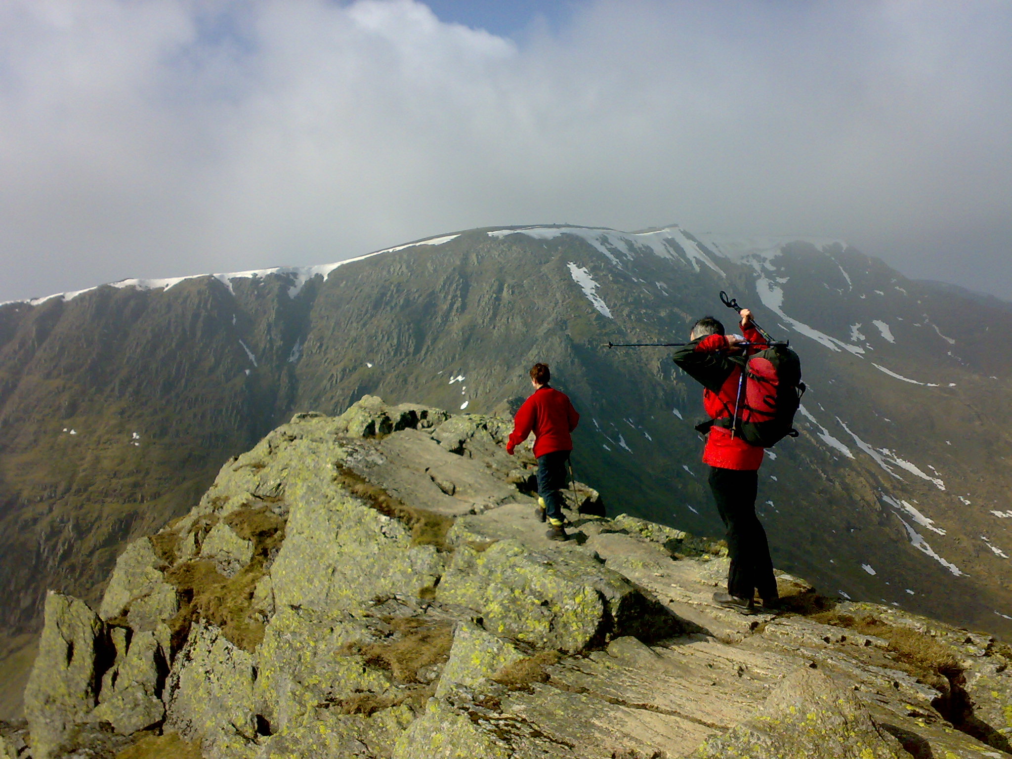
I meant to take the path down to Red Tarn, but I was, I think a little overwhelmed and ended up at High Spying How, the gateway to Striding edge. The thought did cross my mind to venture all the way to the summit of Helvellyn. It was on my mind till I got to Striding Edge and it vanished.......fast. I was again not kitted and prepared, and frankly I wimped out. I do not think it is a good idea to attempt Striding Edge on ones own the first time.
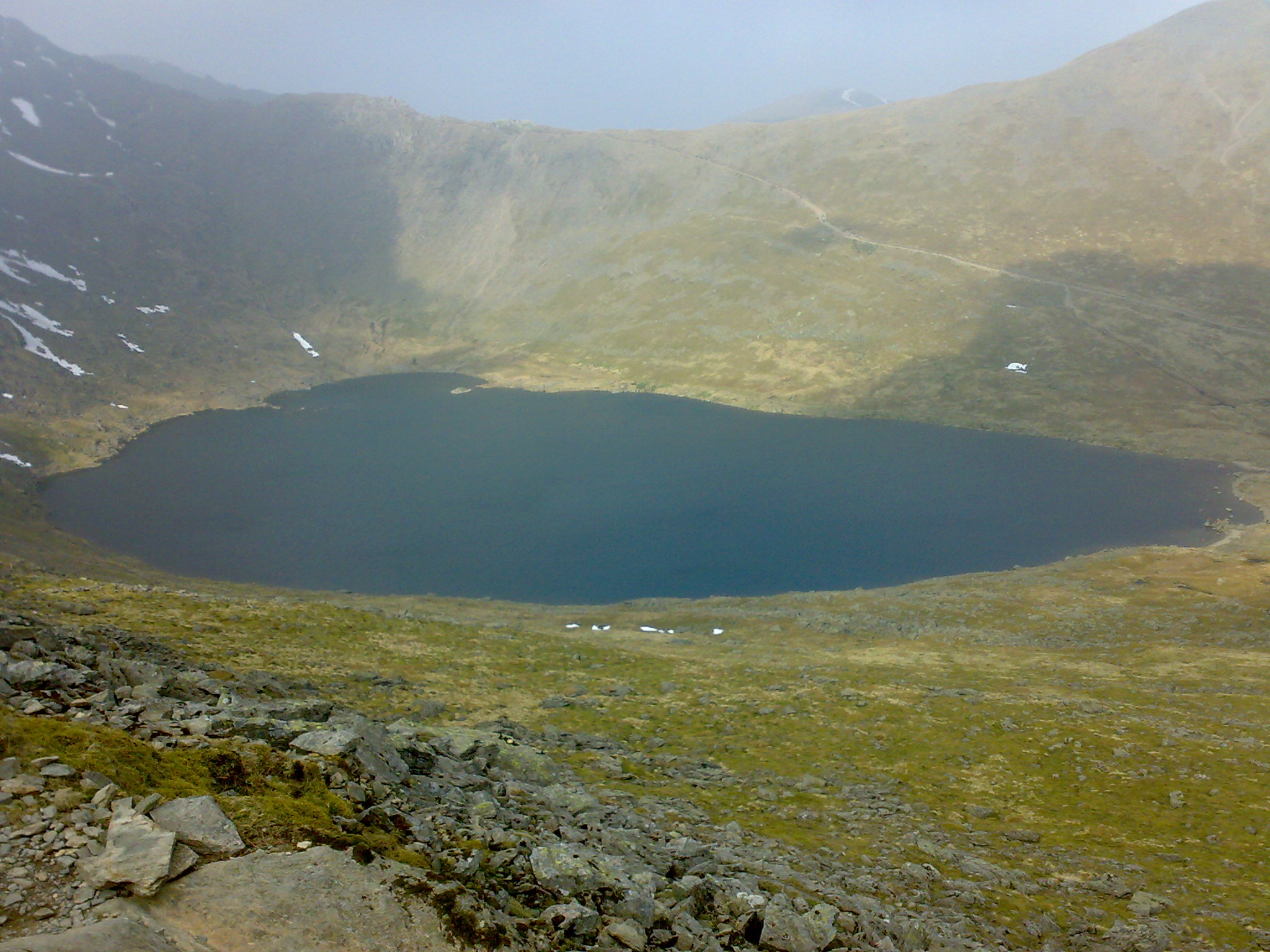
I made my u-turn and my reasons to the folks I'd passed on the way up. Eventually back at Hole-in-the-wall and I found the right track down to Red Tarn. It is such a lovely place only spoilt by other people being about. The constant lapping of wave at the edge is very calming.
This was broken by the voices of walkers travelling between Hole-in-the wall and High Spying How echoing down the slope.
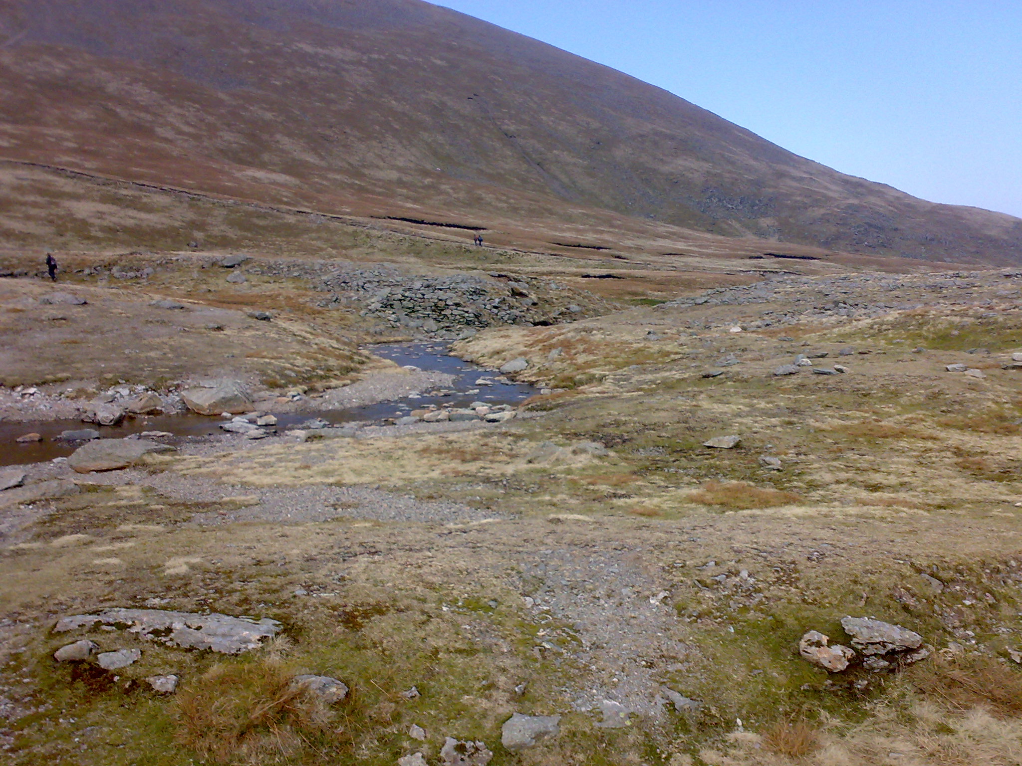
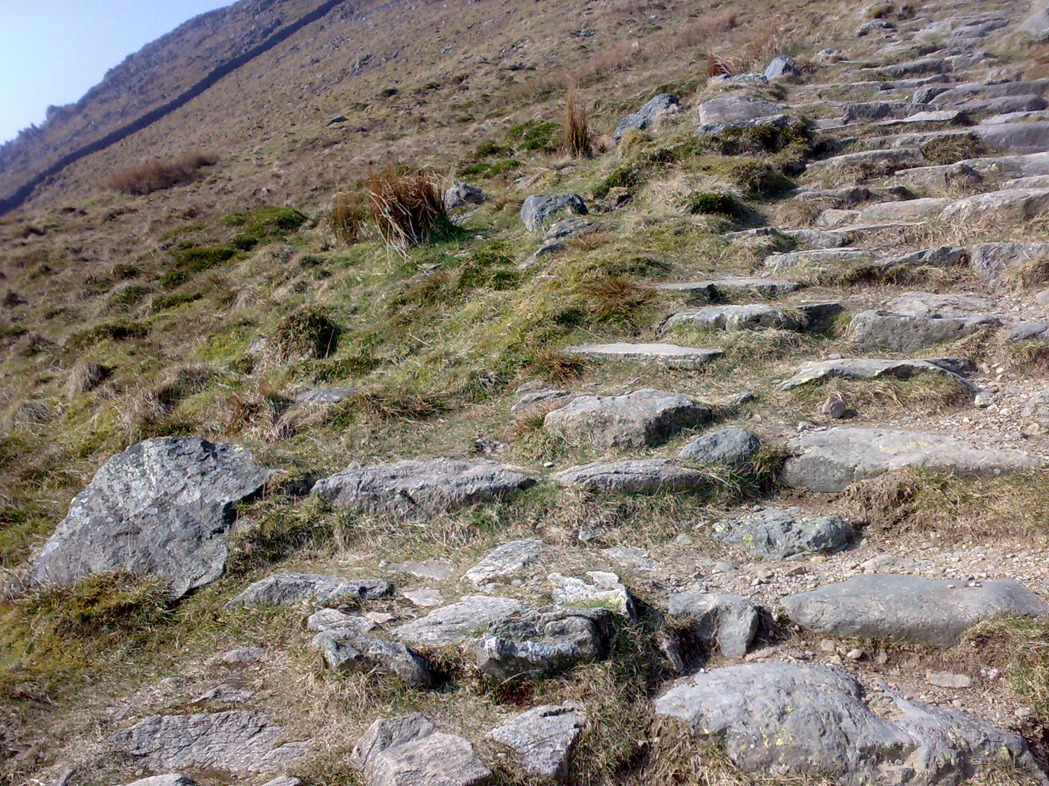
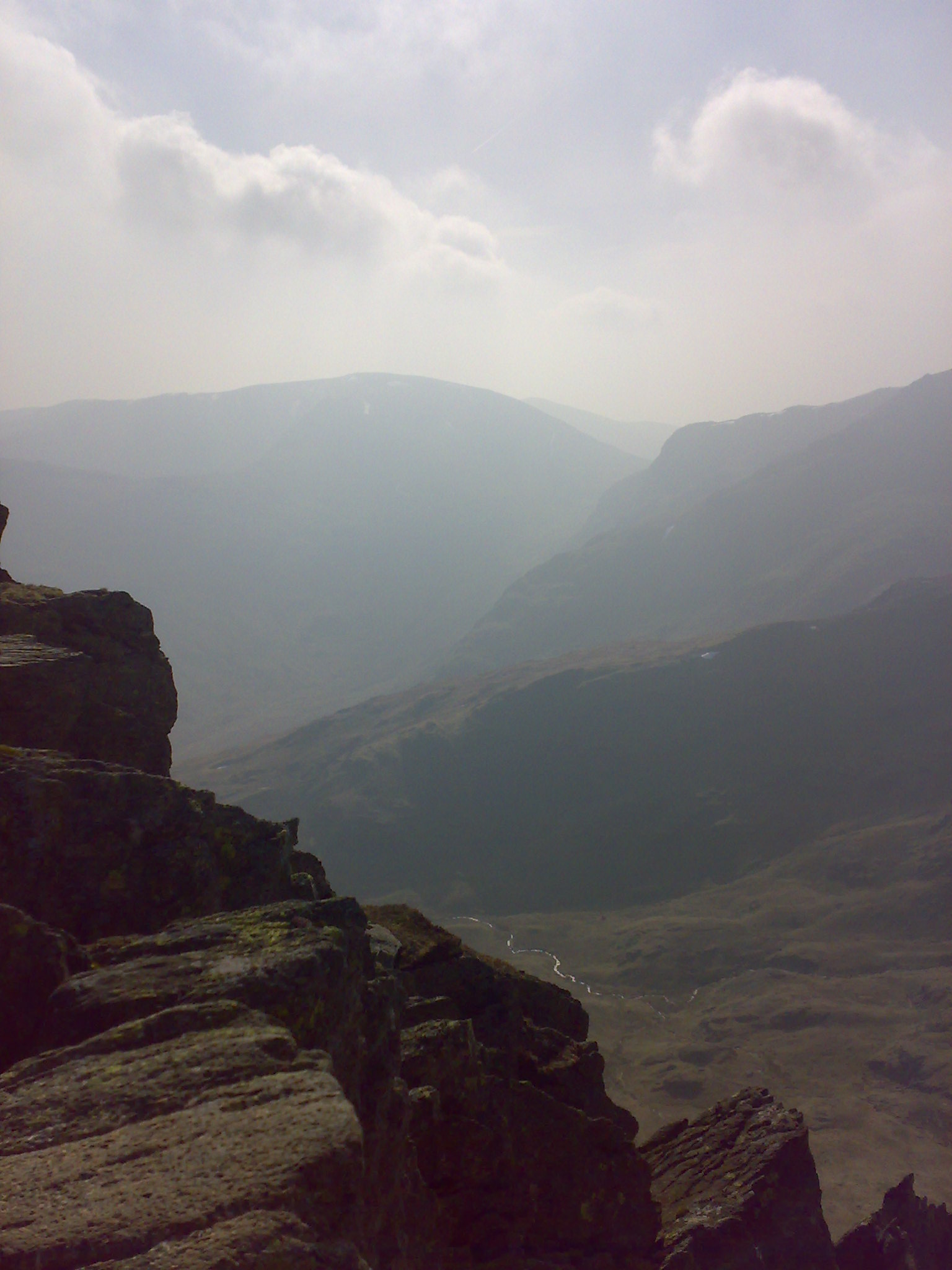
I had a short rest at the Tarn before heading back towards my destination. the route took me through Birkhouse Moor and on towards Glenridding. The descent was no to steep but it was fairly constant for most of the way. It was a well trodden path as far as the mining area. It was still a good path beneath Blea Cove and Little Cove, as I headed round it seemed to disappear. I soon found it again as it was just a little way up from me. I was soon back at my truck.
It was a great walk, but so disappointed to get so near to the summit but not to reach it. I will be looking forward to getting to the top.