The Wrekin
7th February 09
| Wrekin (GPX) (right click>save as) |
| TOTAL DISTANCE | 5.07 MILES | TRIP TIME | 2 HOURS 13 MINUTES | |||||||||
| AVERAGE SPEED | 2.13 MPH | TOTAL ASCENT | 727 ft | |||||||||
|
|
|
|
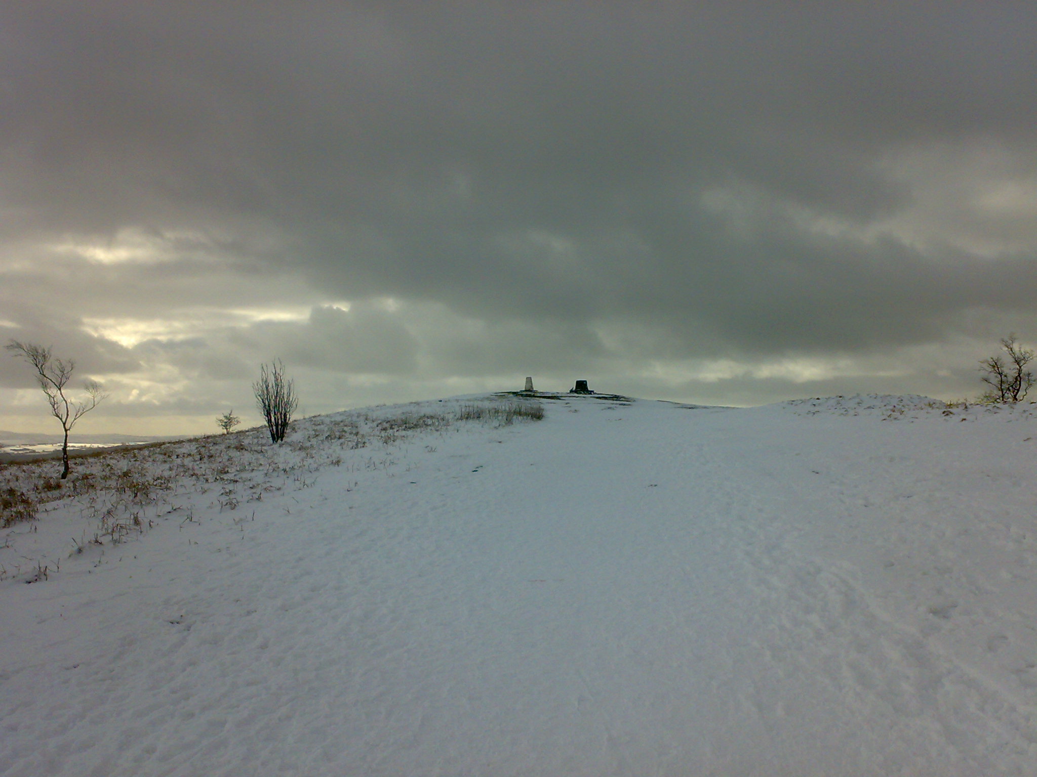
How many times had I passed this weird
misplaced mass of rock that looms out of the flat plain between Telford and
Shrewsbury. Having planned many weeks ago a route to walk to the summit. After
seeing it in the week covered in snow, it was a must to do it this week.
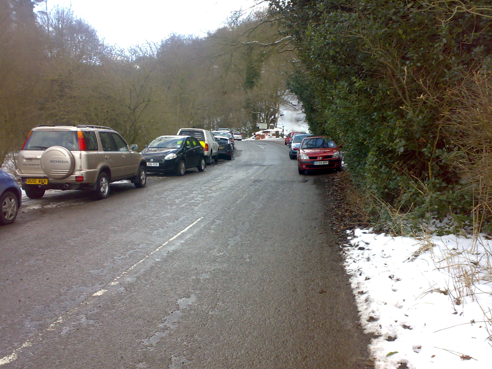
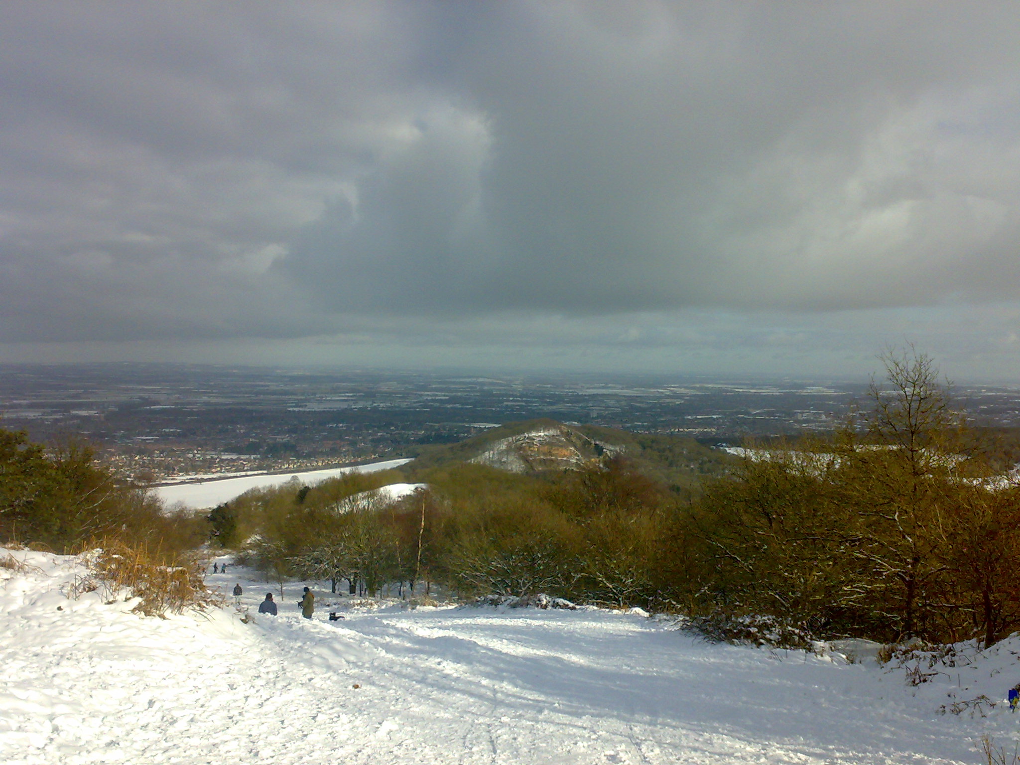
I arrived and parked up on the North-East side near Lawrence's Hill. I walk starts straight away on a good ascent.
It is only 1.25 miles to the summit, but you work for it.
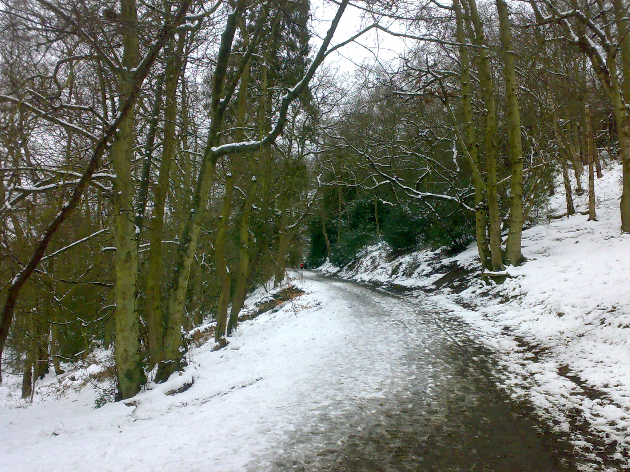
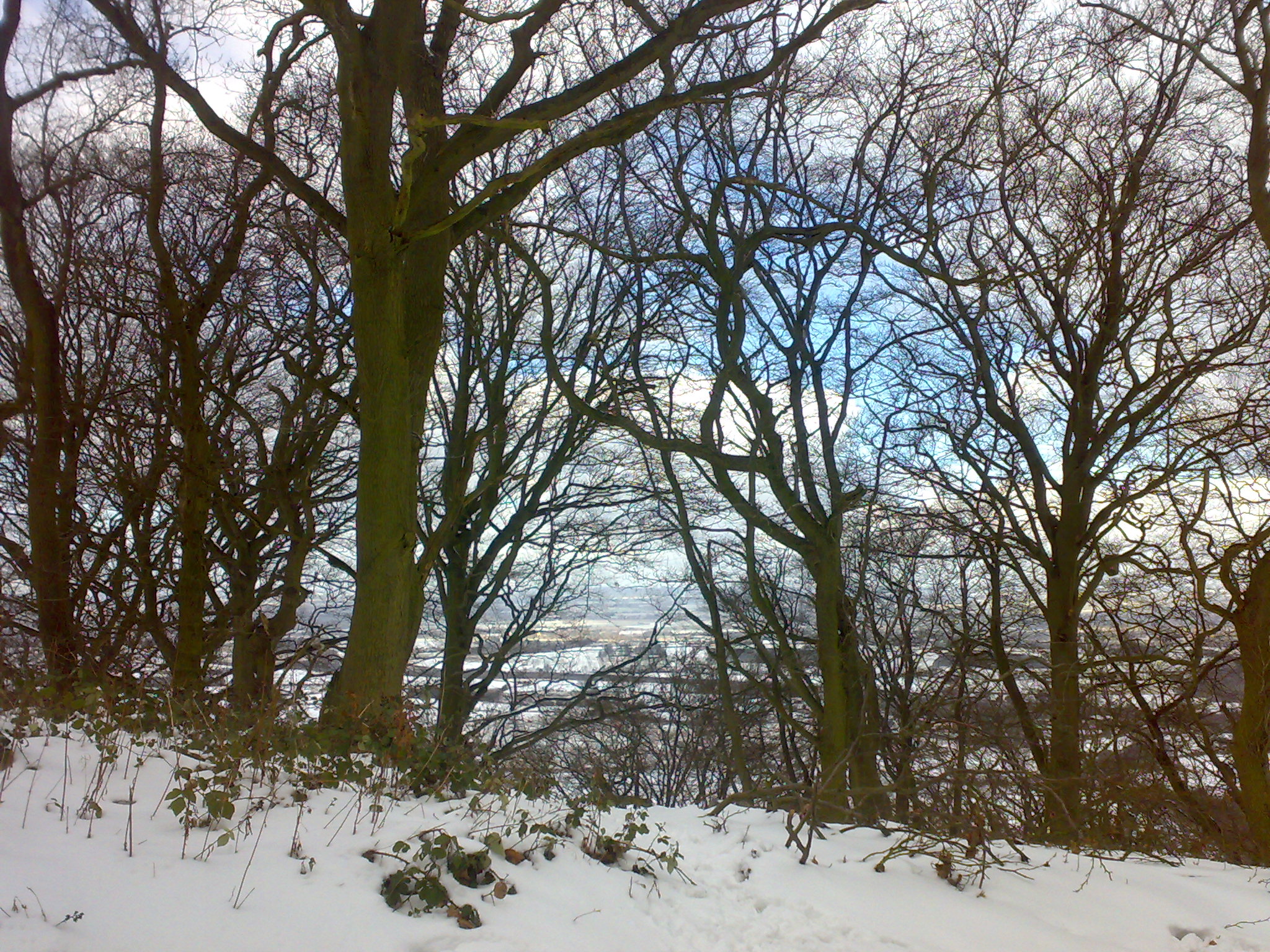
For the first half miles, the snow was sparse due to the amount of people that had passed through. There were a lot of kids sledging. With kids being kids I don't think the idea of walking up a large hill was too appealing. At about 850ft the snow turned to proper good snow, not good for walking uphill on though.
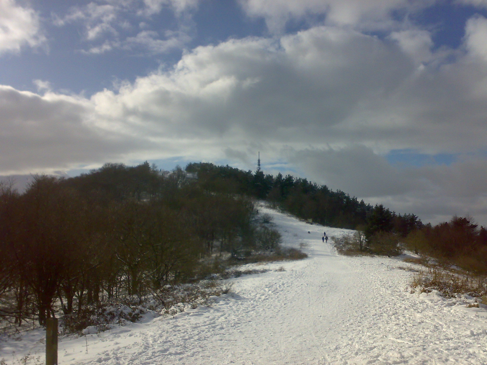
At about 1000ft the transmission tower briefly comes into view. It is very
deceiving as it looks closer than it actually is. Though it is only just over
0.6 mile away.
I also did not think to take my sunglasses with me, which I had in my truck.
With going up such a gradient and the with the sun shining. There was no rest
bite from the glare of the sun. Which was blinding with crisp white snow
everywhere.
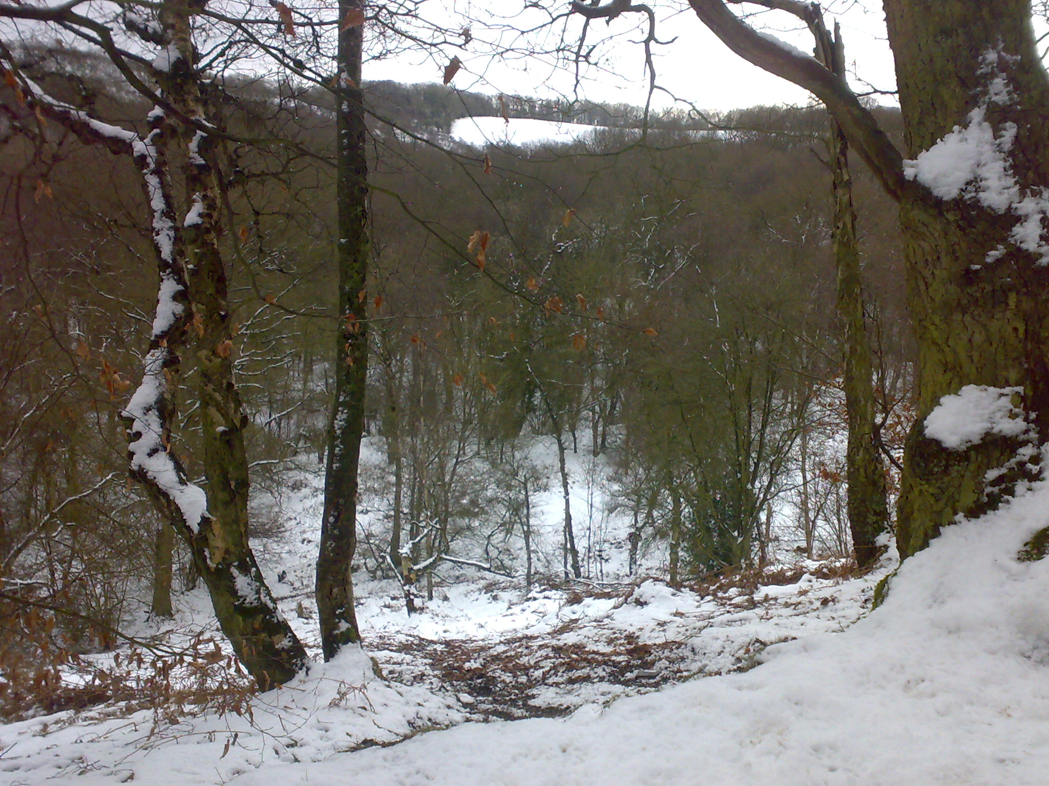
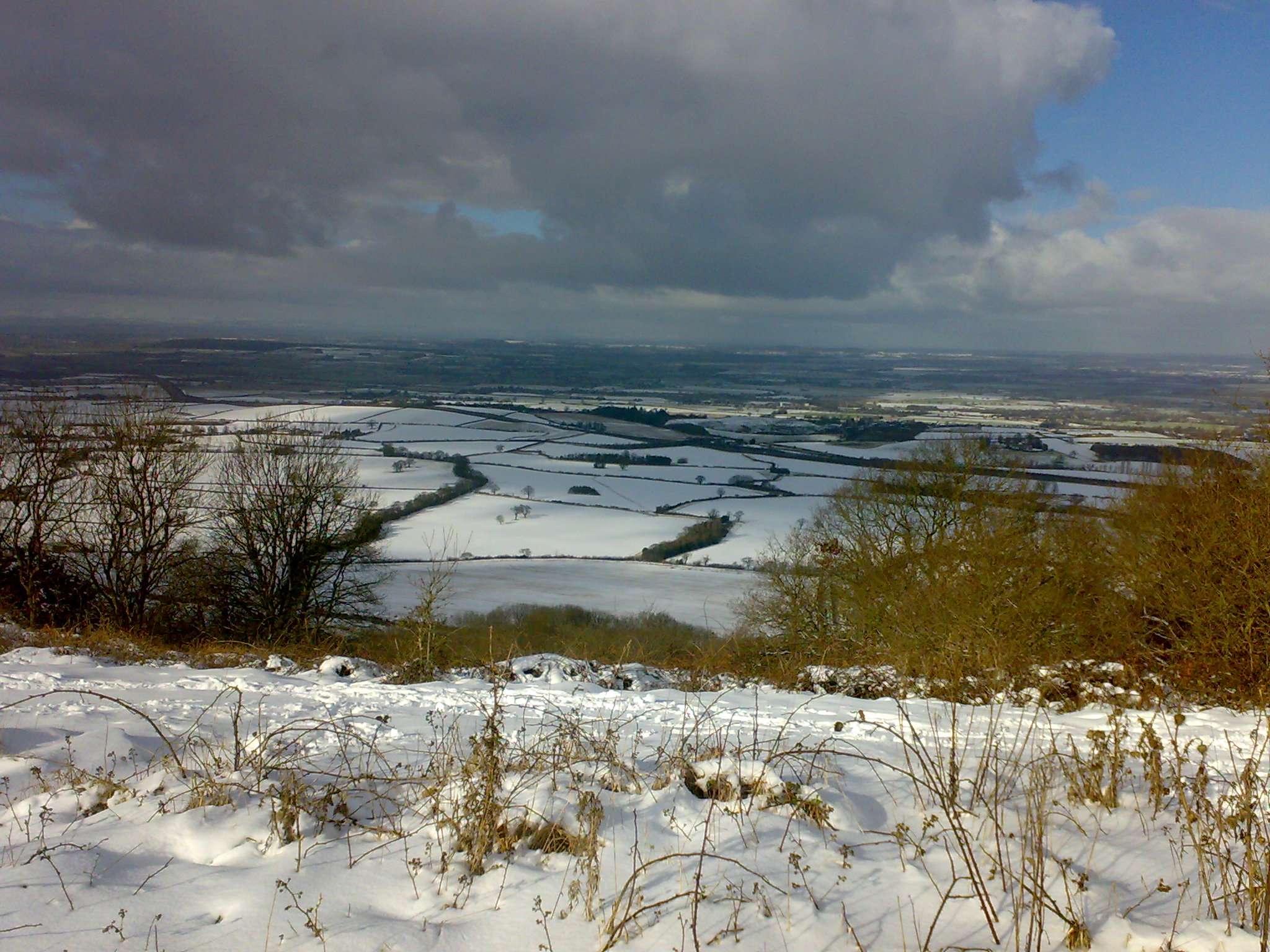
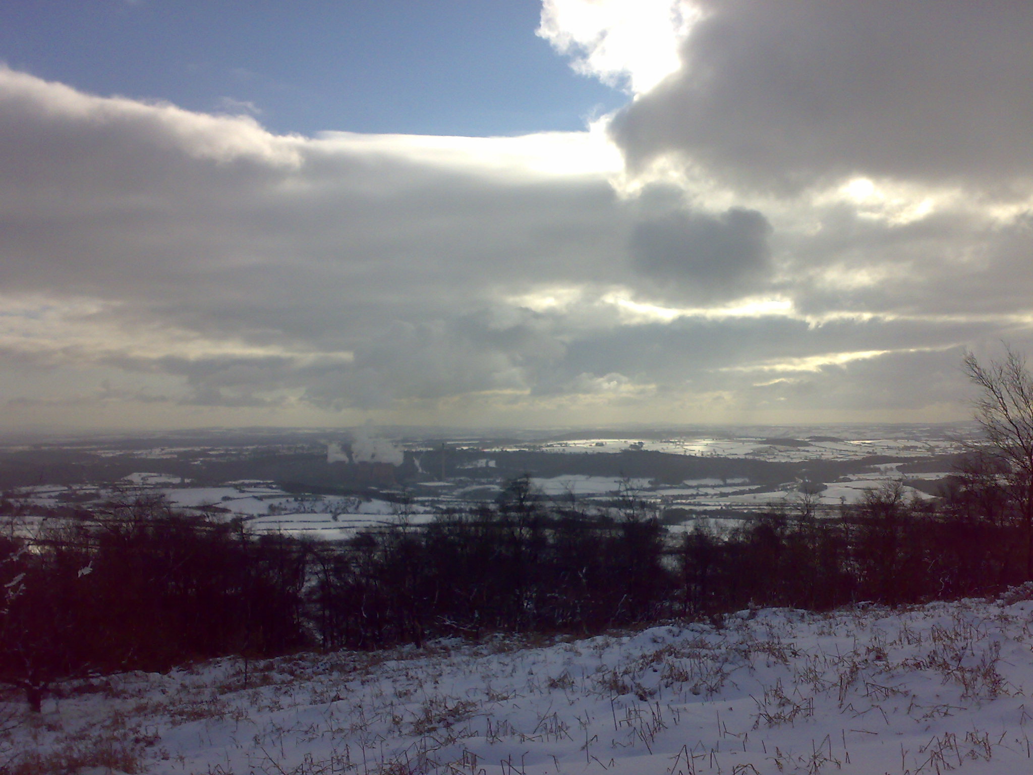
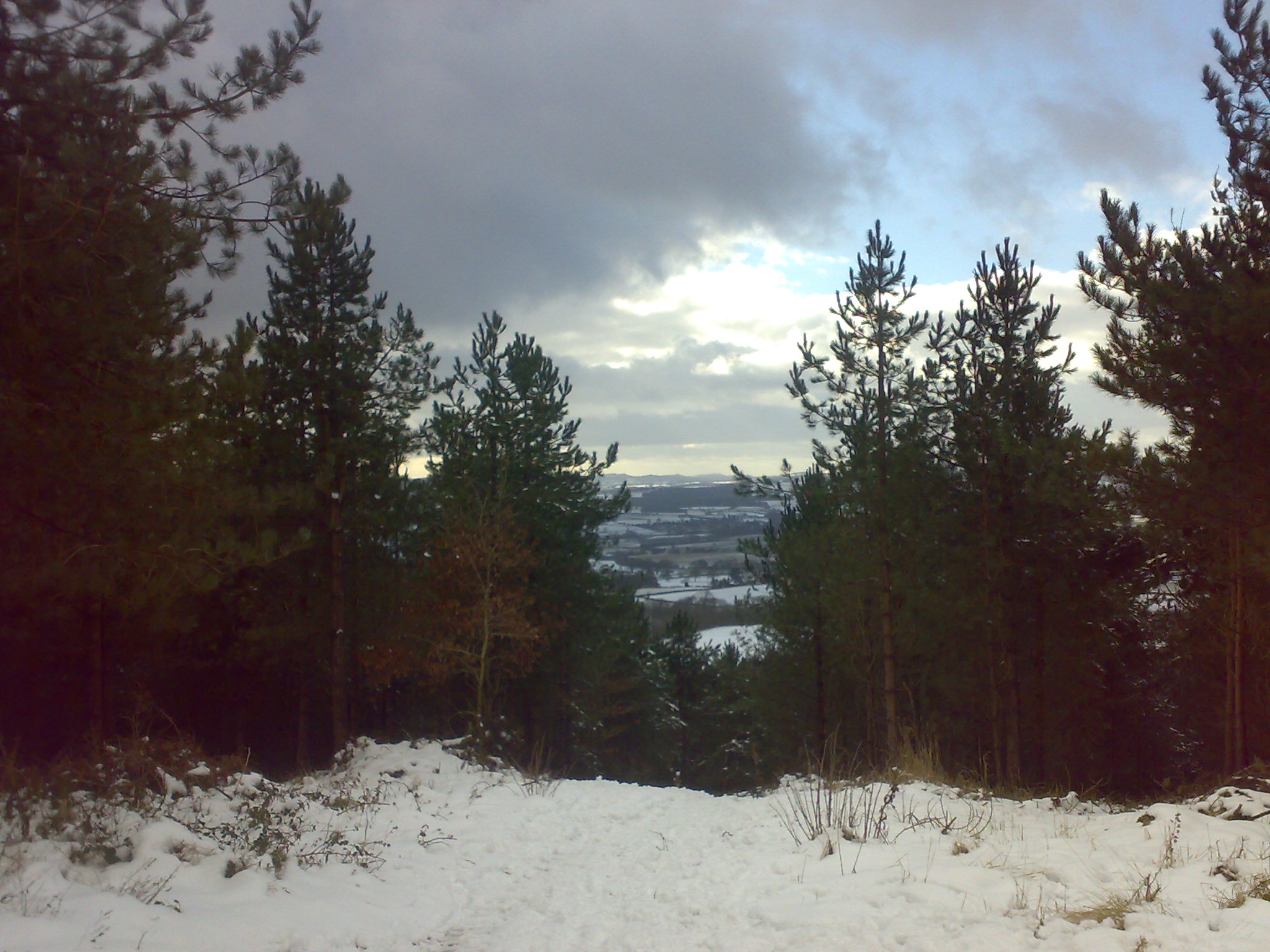
The views were tremendous as got towards Hell Gate. The landscape opens out and you can see out over the Cheshire Plain, the Berwyn Mountains and to the south Clee Hill. The Snow cover made the fields look like new.
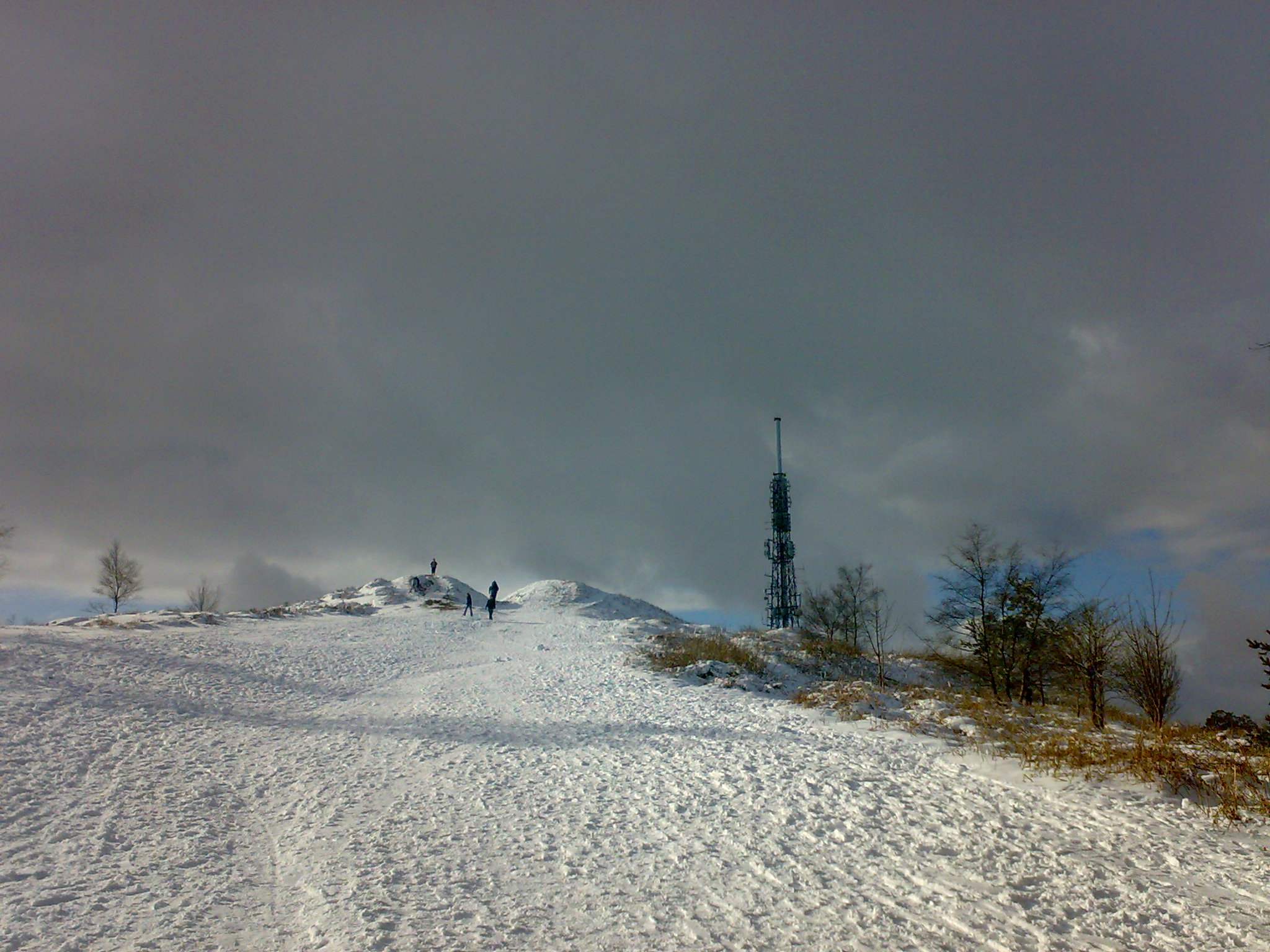
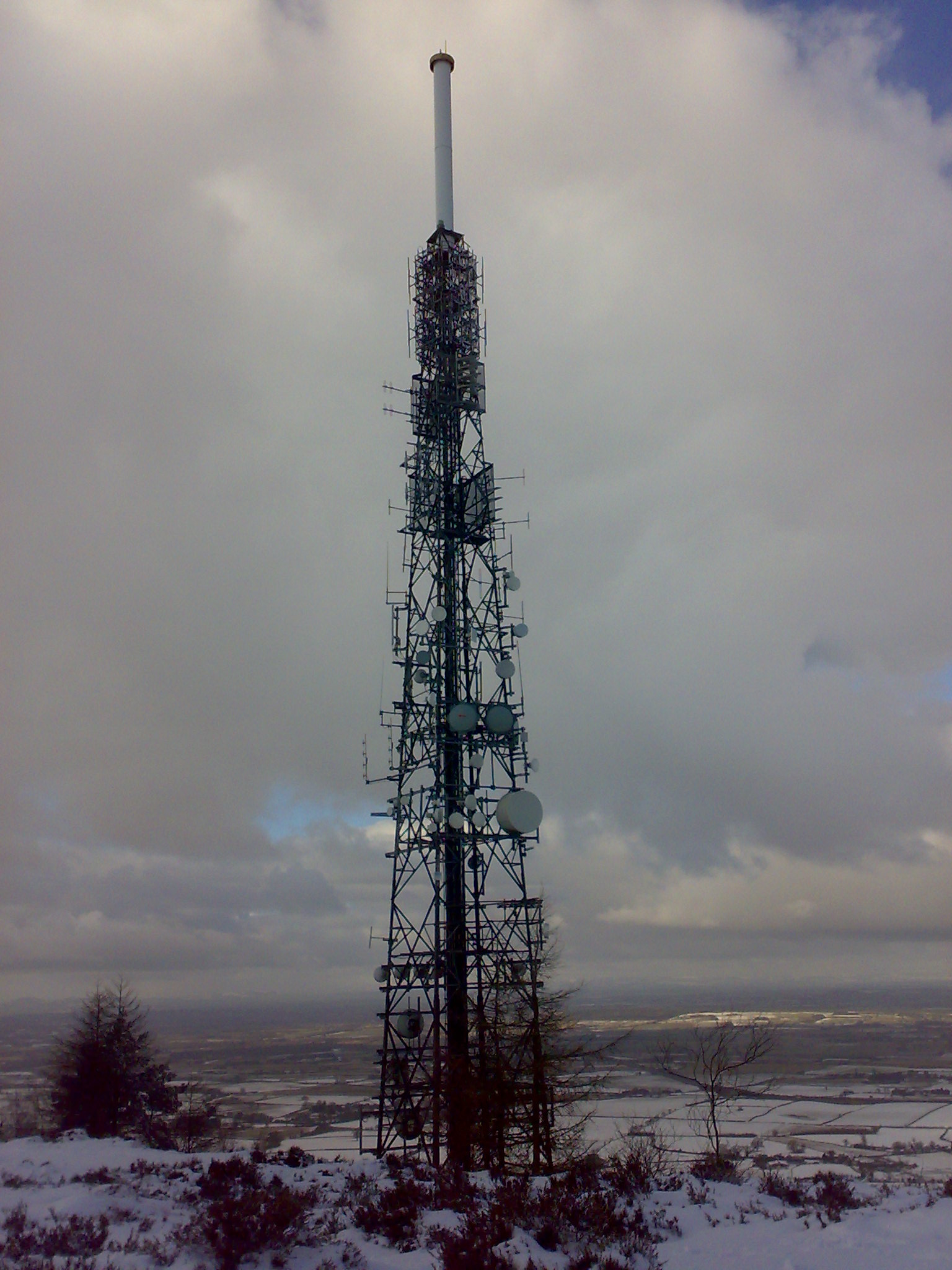
Can think why I'd be taking pictures of transmitters, but hey, I'm sad. I was aware that there was a Neolithic Hill Fort on the top of The Wrekin. Great choice considering the view of the surrounding land. Not sure I'd want to have to commute up and down the hill everyday.
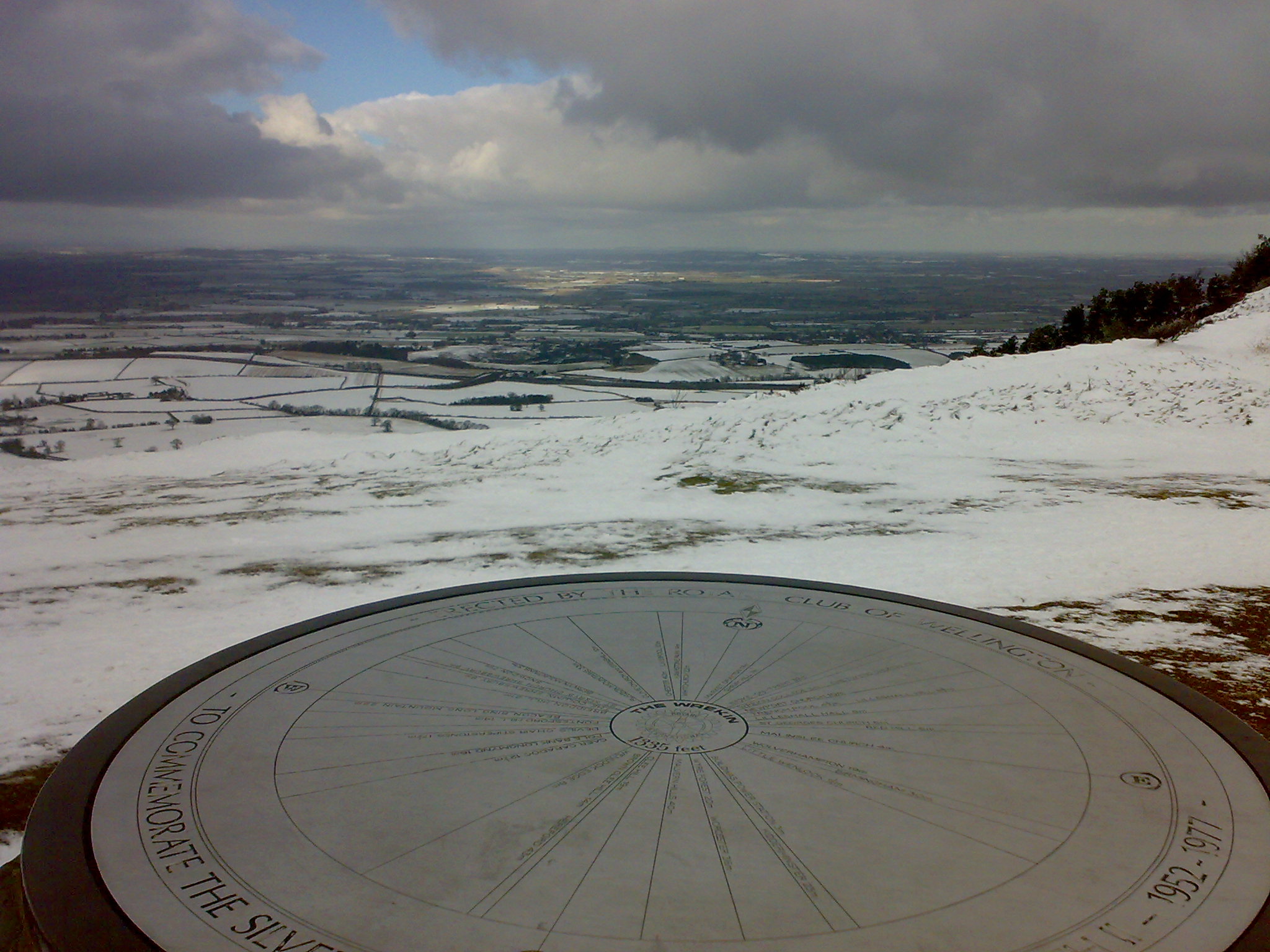

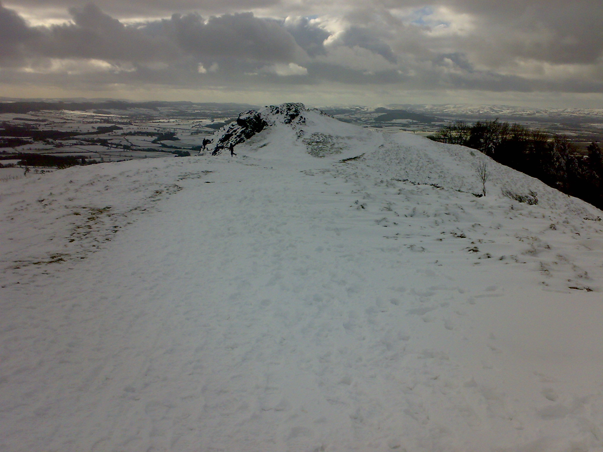
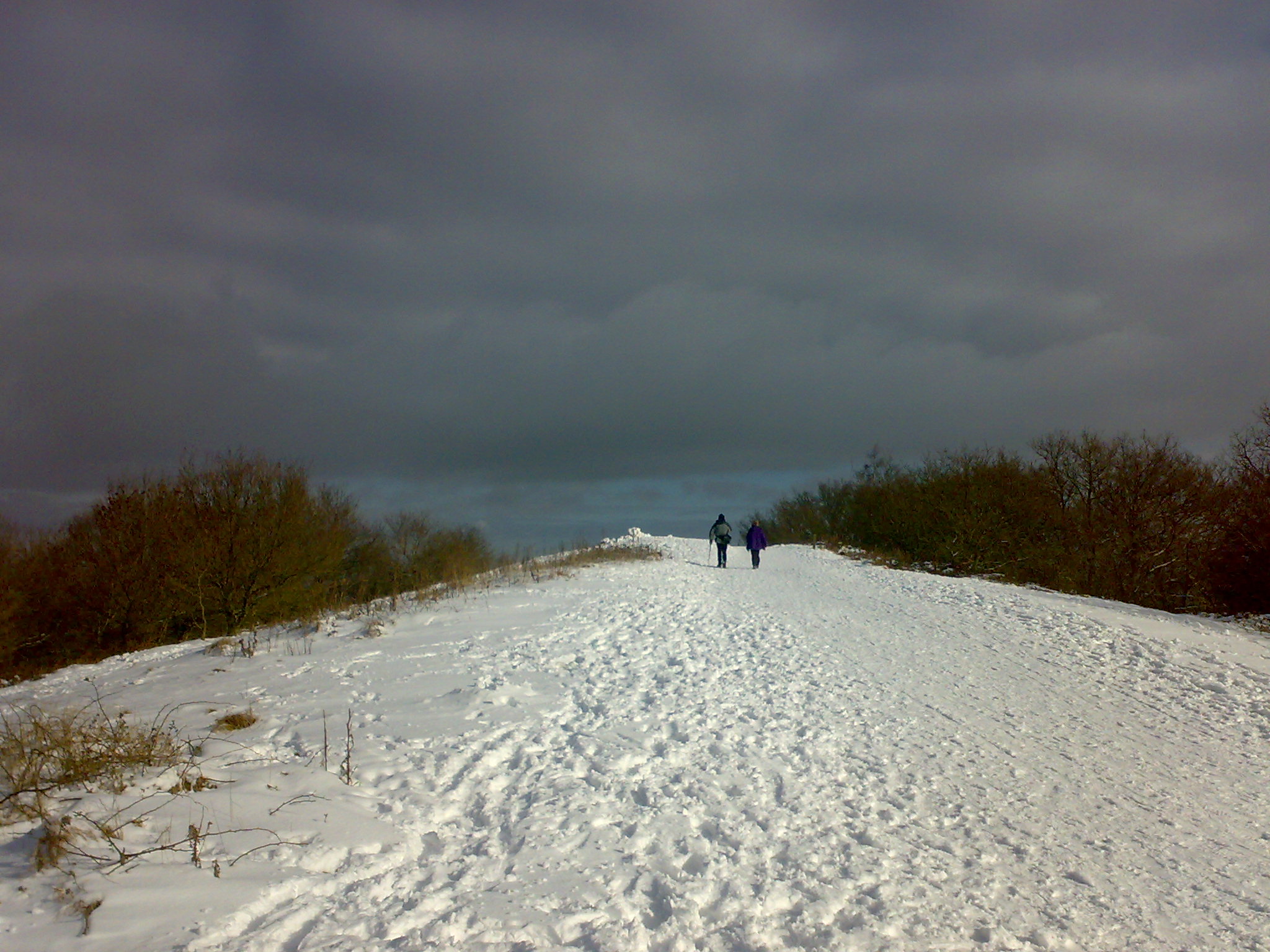
The summit even though it is only 1335ft it is an impressive view as it is surrounded by pretty much flat plains. I am fairly sure the snow changes the character of the enviroment too. Well the only thing you can do once reaching the summit is go back down. I carried on along the ridge to Needle's Eye and then down. And down it goes.......like a rock. The path down to Little Hill is possibly steepest gradient to the Wrekin. And as such the path less travelled. The advantage of going down hill is that with the slope being covered with snow and ice, means when you slip and slide, you still reach your desired destination!?
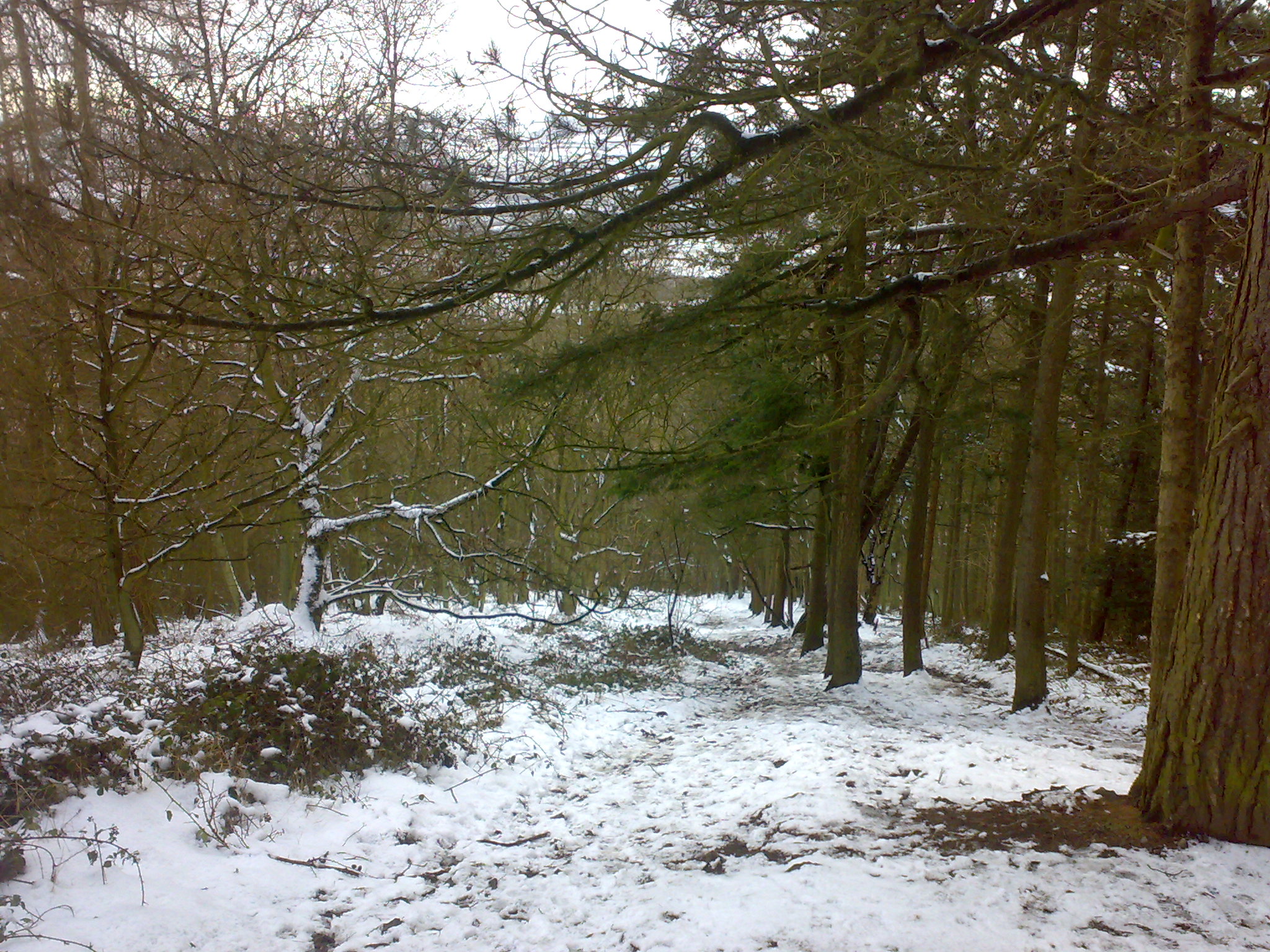
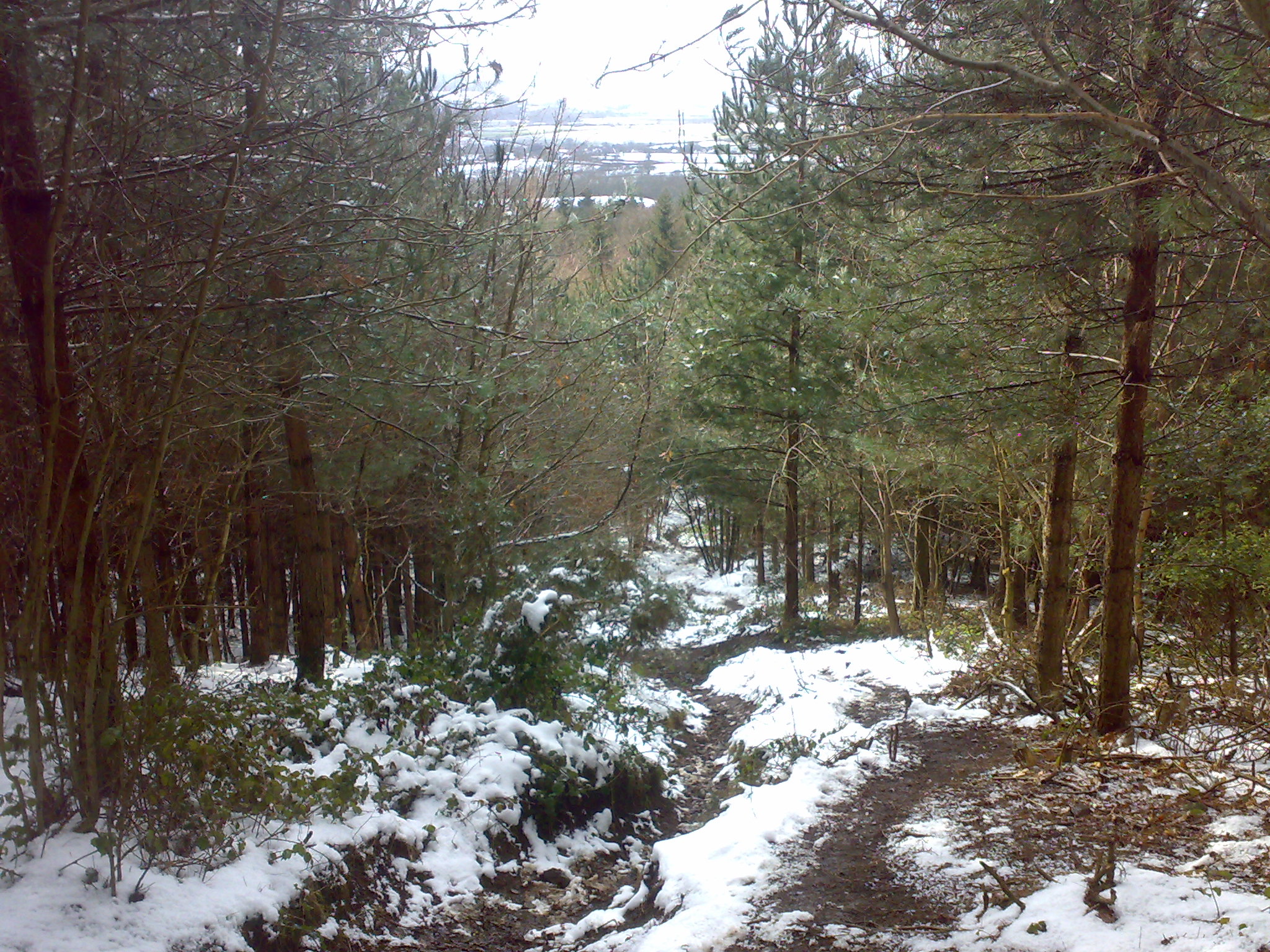
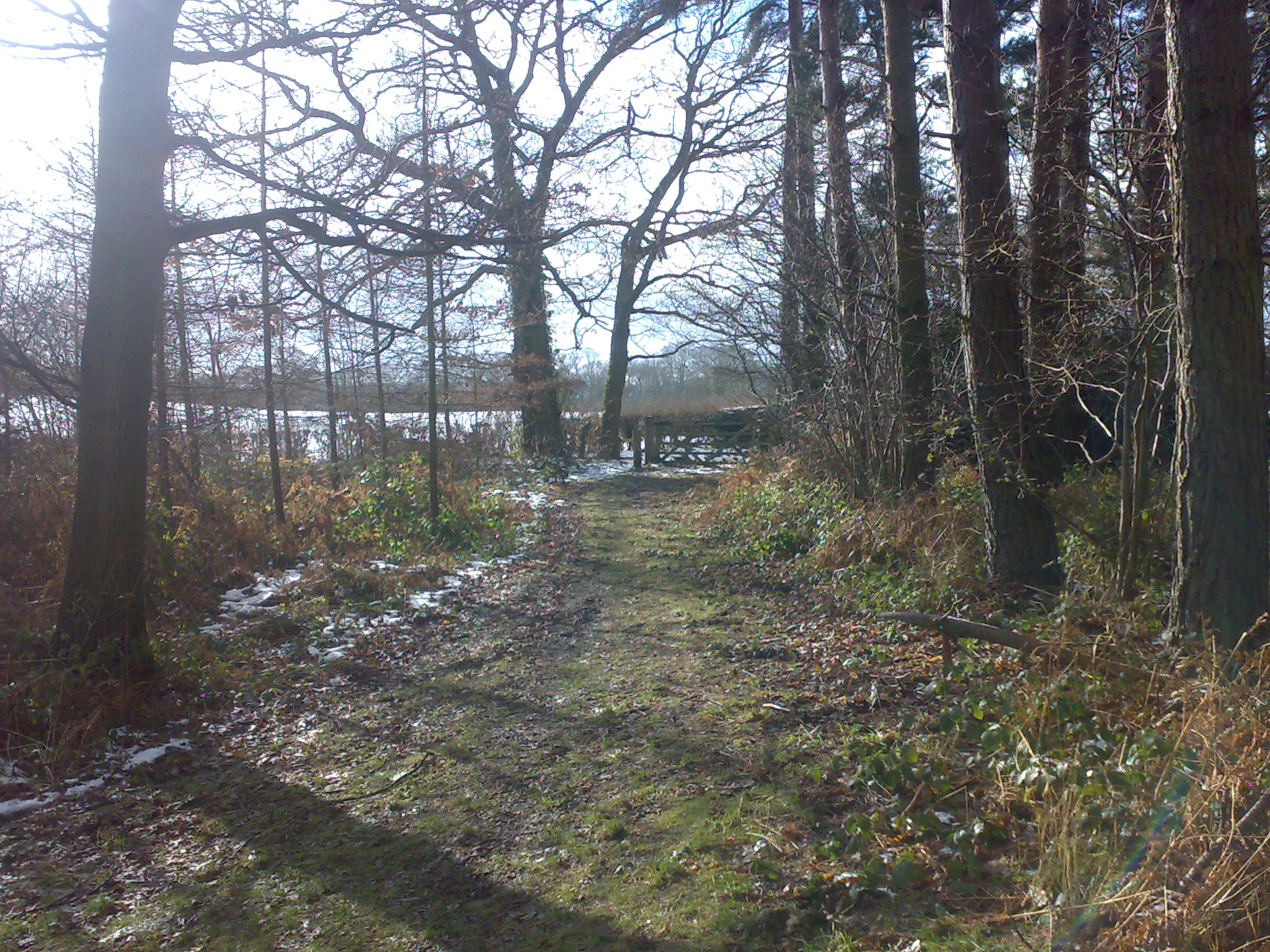
The rest of the route was flat, muddy and not so interesting. Though it was through the lower levels of the Wrekin's woodlands. I returned back to the car ready for a cup of hot coffee.