Snowdon Summit
7th November 08
|
|
|
Snowdon (GPX) (right click>save as) |
| TOTAL DISTANCE | 9.06 MILES | TRIP TIME | 4 HOURS 12 MINUTES | |||||||||
| AVERAGE SPEED | 2.15 MPH | TOTAL ASCENT | 2753 ft | |||||||||
|
|
|
|
The plan was to drive to Llanberis and catch the Sherpa bus to Pen-y-Pass, walk up to Snowdon then down back to Llanberis. Well, I got Llanberis and it was a ghost town. Not really knowing what time the bus was, I decided to reverse the route (and thank god I did).
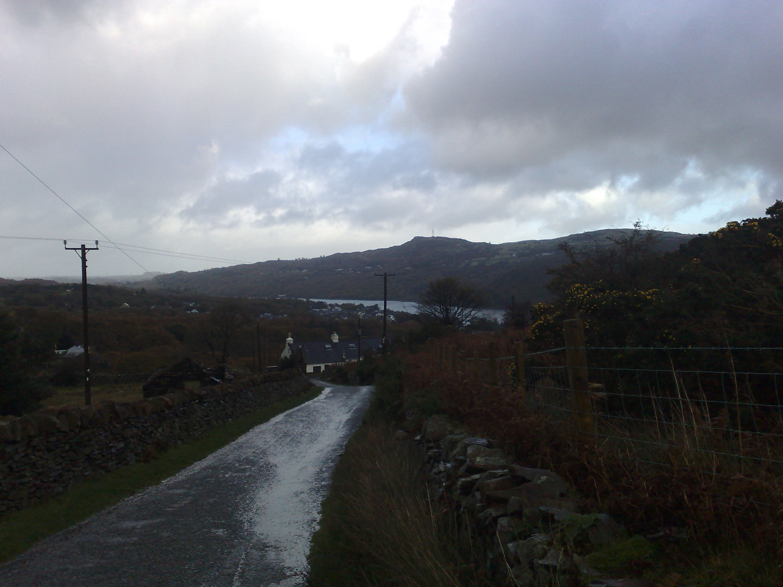
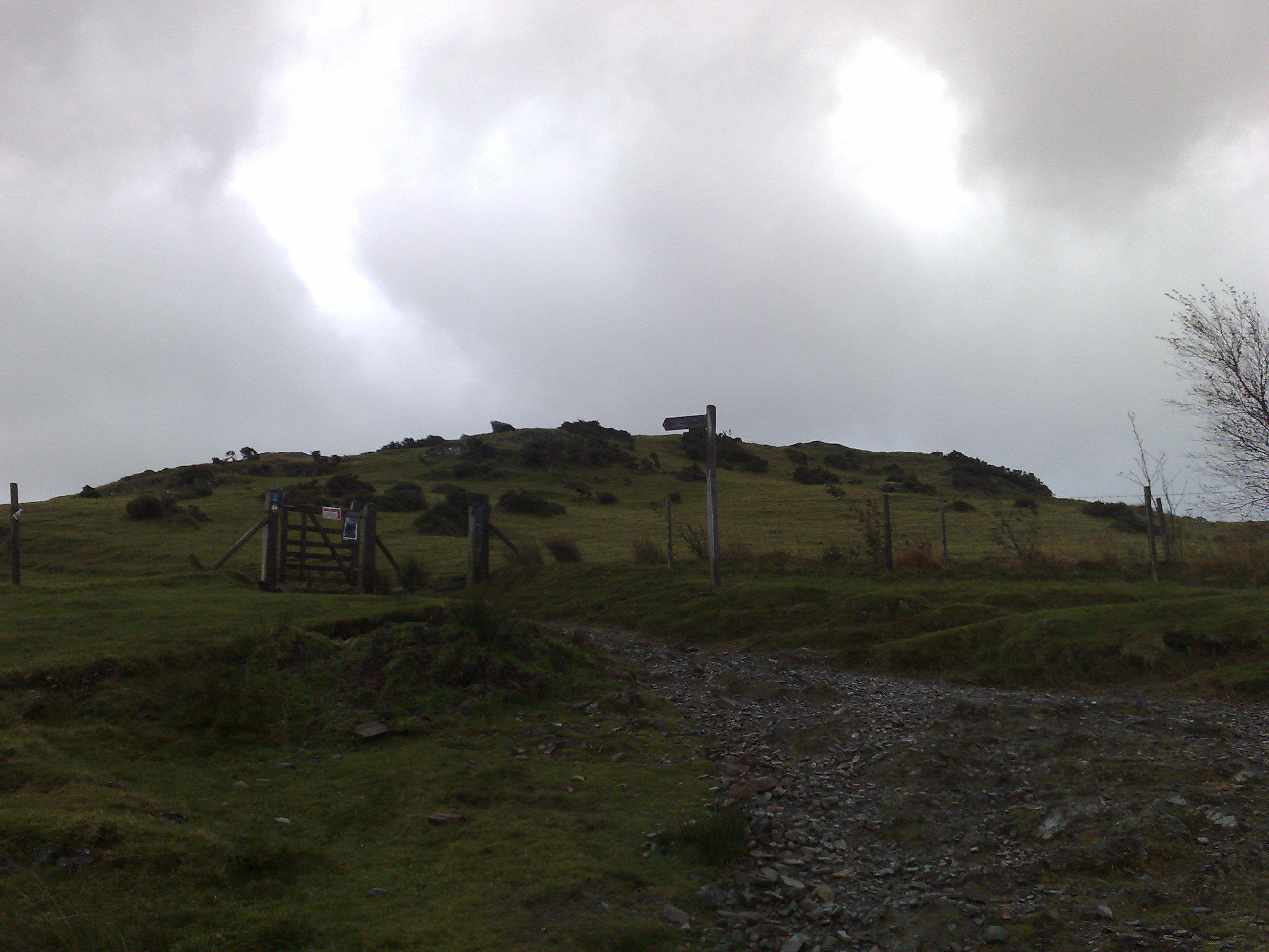
The start took me passed the Llanberis station for the Snowdon railway and up a road for 1/2 mile, before joining the path. The road was the 2nd worse bit of the lot. Up to the Halfway house was a gentle climb.
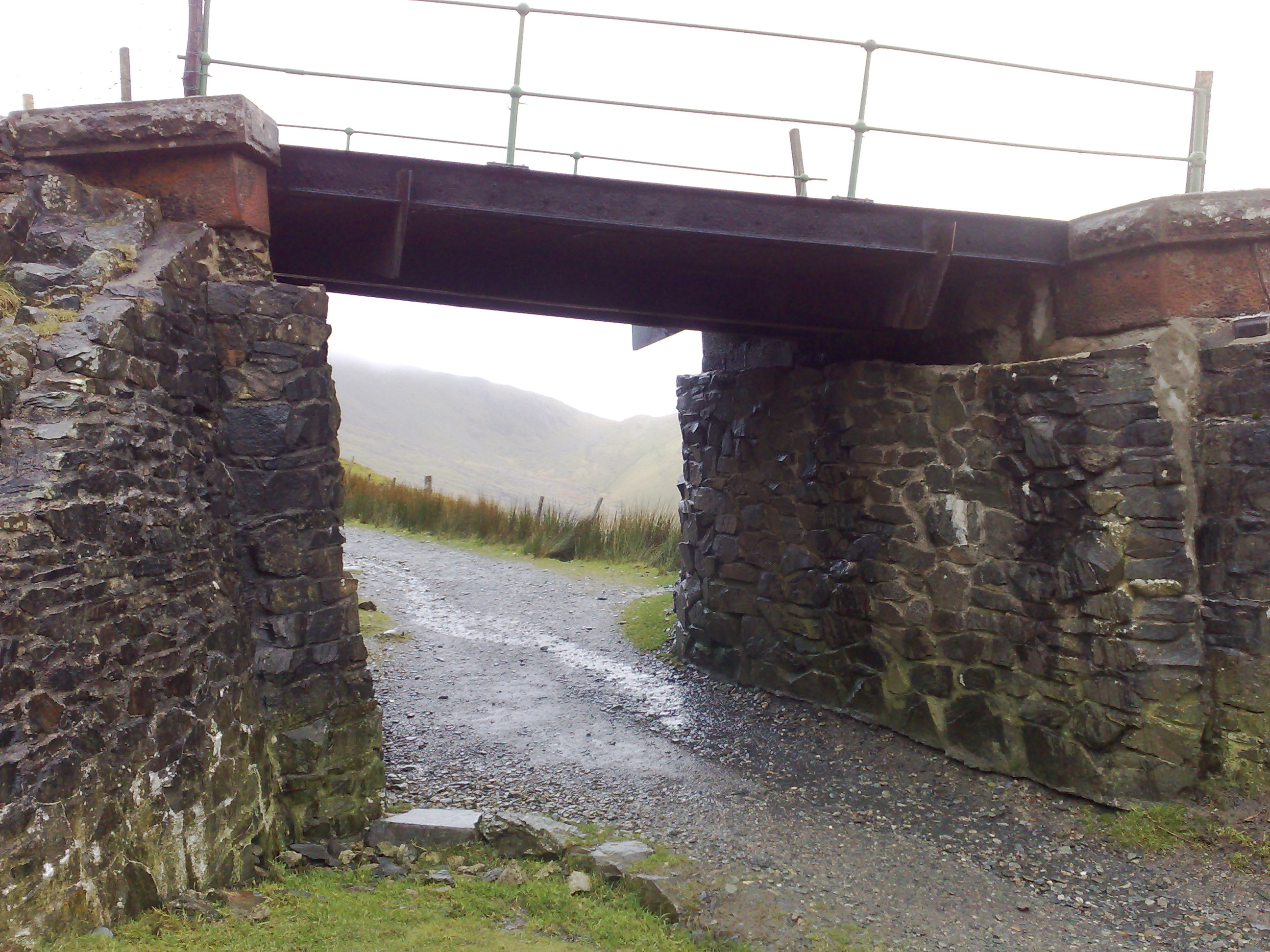
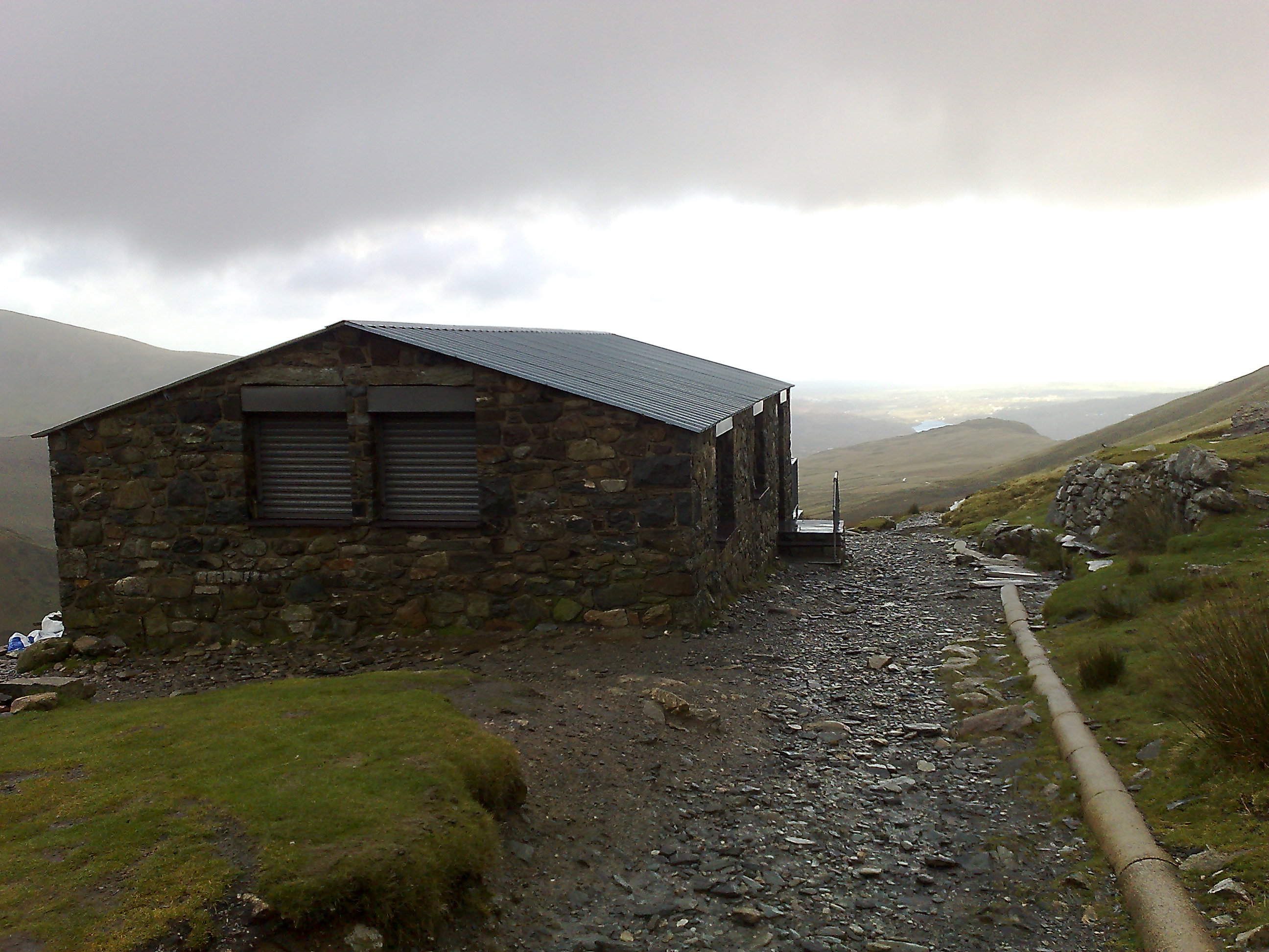
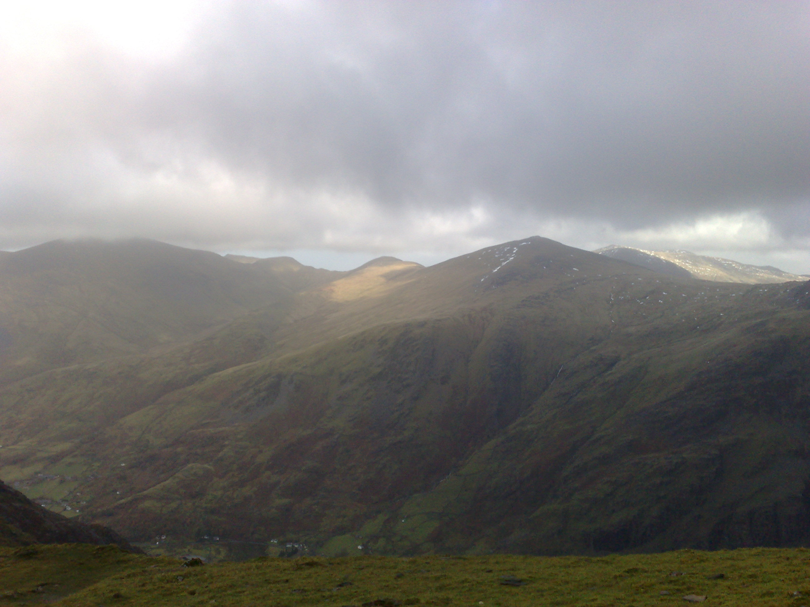
After that point the wind got up with some very strong gusts. Also at this point I was still below the cloud line and the view looking back to Llanberis was what it is about for me. It was superb. As I went under the railway bridge just north of Clogwyn station again I was greeted with more awesome scenery. I thought at this point it would be a good idea to have a quick rest.
It was needed but not the best idea. With all the walking up hill, the blood was pumping and keeping me warm. I didn't realise how cold it was up there. After 3mins of sitting down I started to get cold. I managed to eat a sandwich and have a cup of coffee, but as far as resting my legs.......too cold. So I got up and started walking. I managed about 80yds before having to ask myself if it was a good idea to carry on! I'd had shelter from the railway, but as the path got above the railway and lost the shelter, the wind was whipping over the crest.

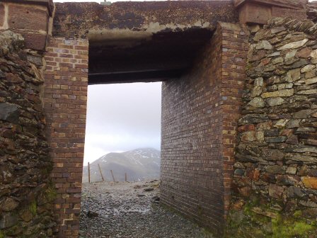
Eventually after a lot of deliberation I decided to go for it. So crouched low I as quick as I could made it the 200yds that was totally exposed to the gale force winds. Just as I thought I had got through the worse it started to hailstones. with the gale blowing it was like being shoot at 1000 people with BB guns. Fortunately I was just coming up to a ruined building, which I had to squat down behind the low wall to gain shelter. It was all over in 2-3 minutes. With just over 1/2 mile to go I got cracking. The path rejoined the railway and I was just a steady climb to the summit.
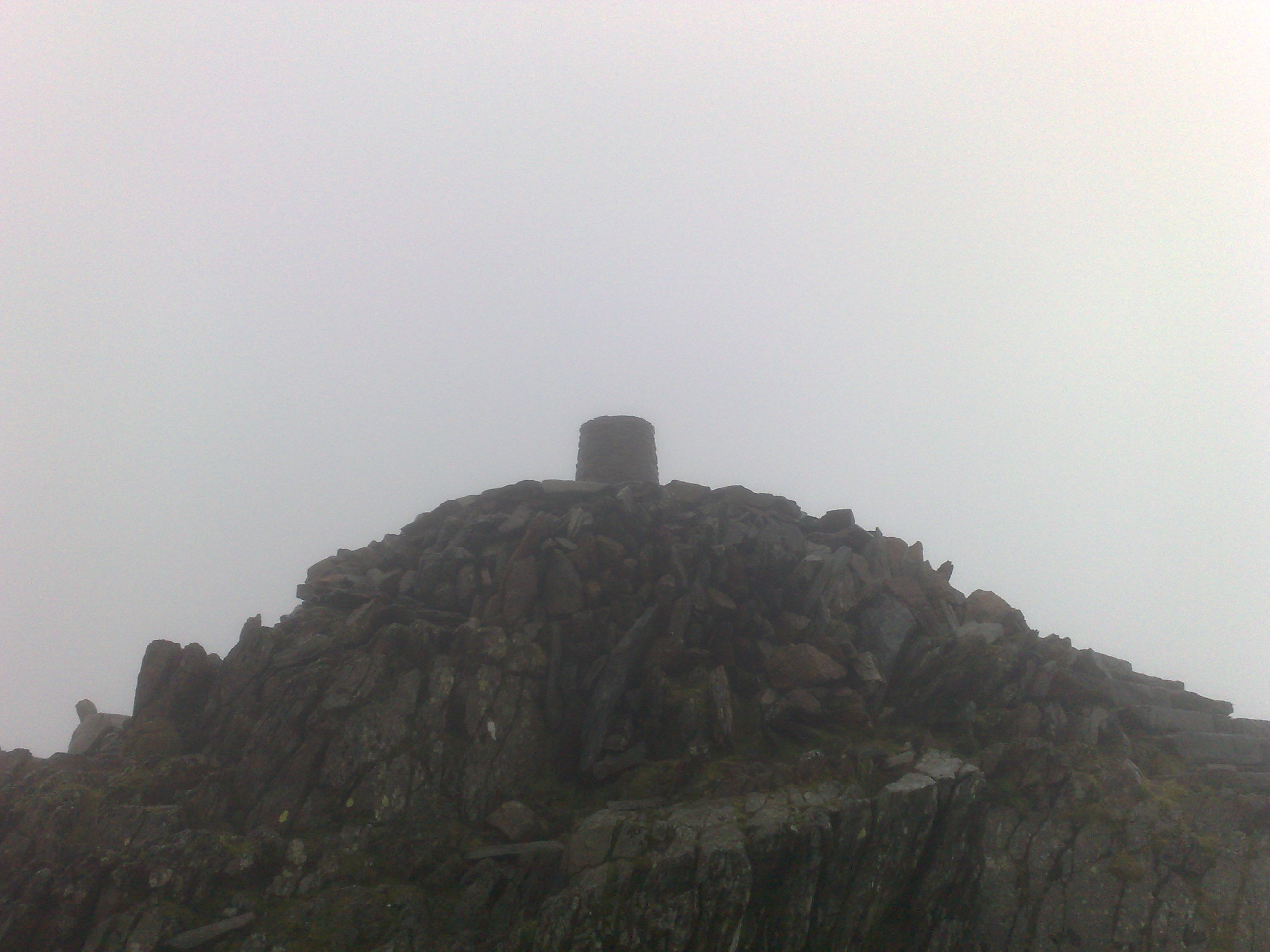
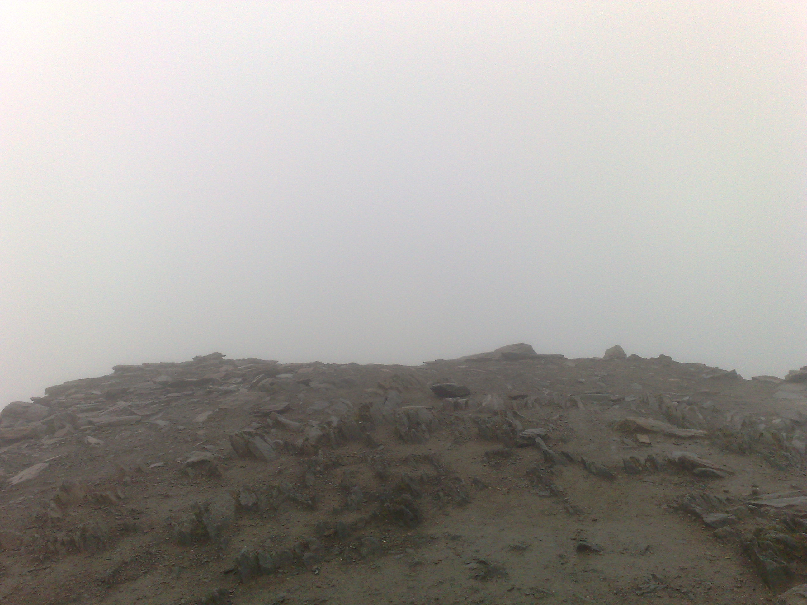
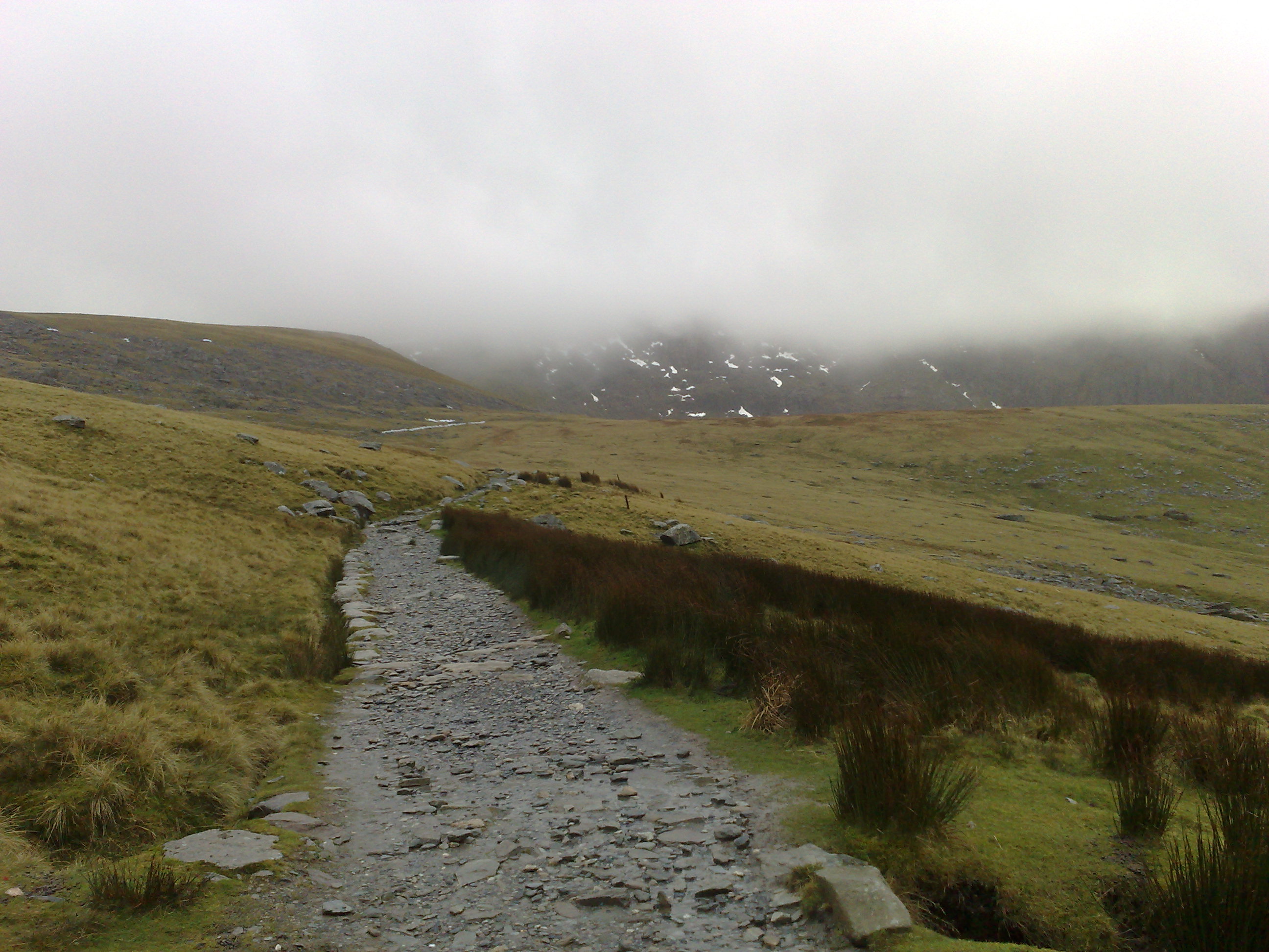
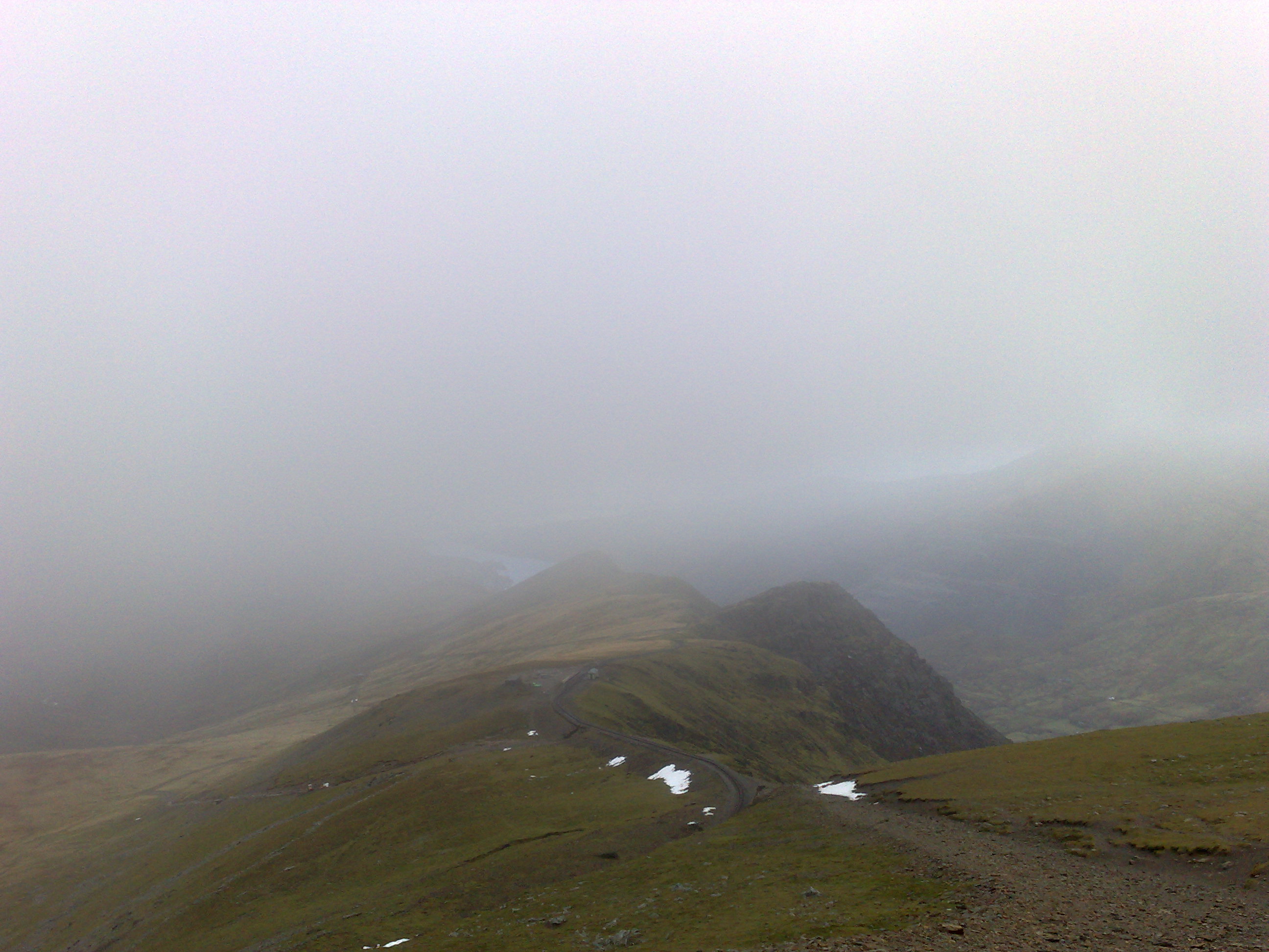
Once at the top the wind was far to strong to actually climb to the very top of the summit. The view was pure cloud. But I was very happy to of made it to the top. All there was to do now was to walk back down. I'd just walked up the Llanberis path, now to walk down the Miners track.
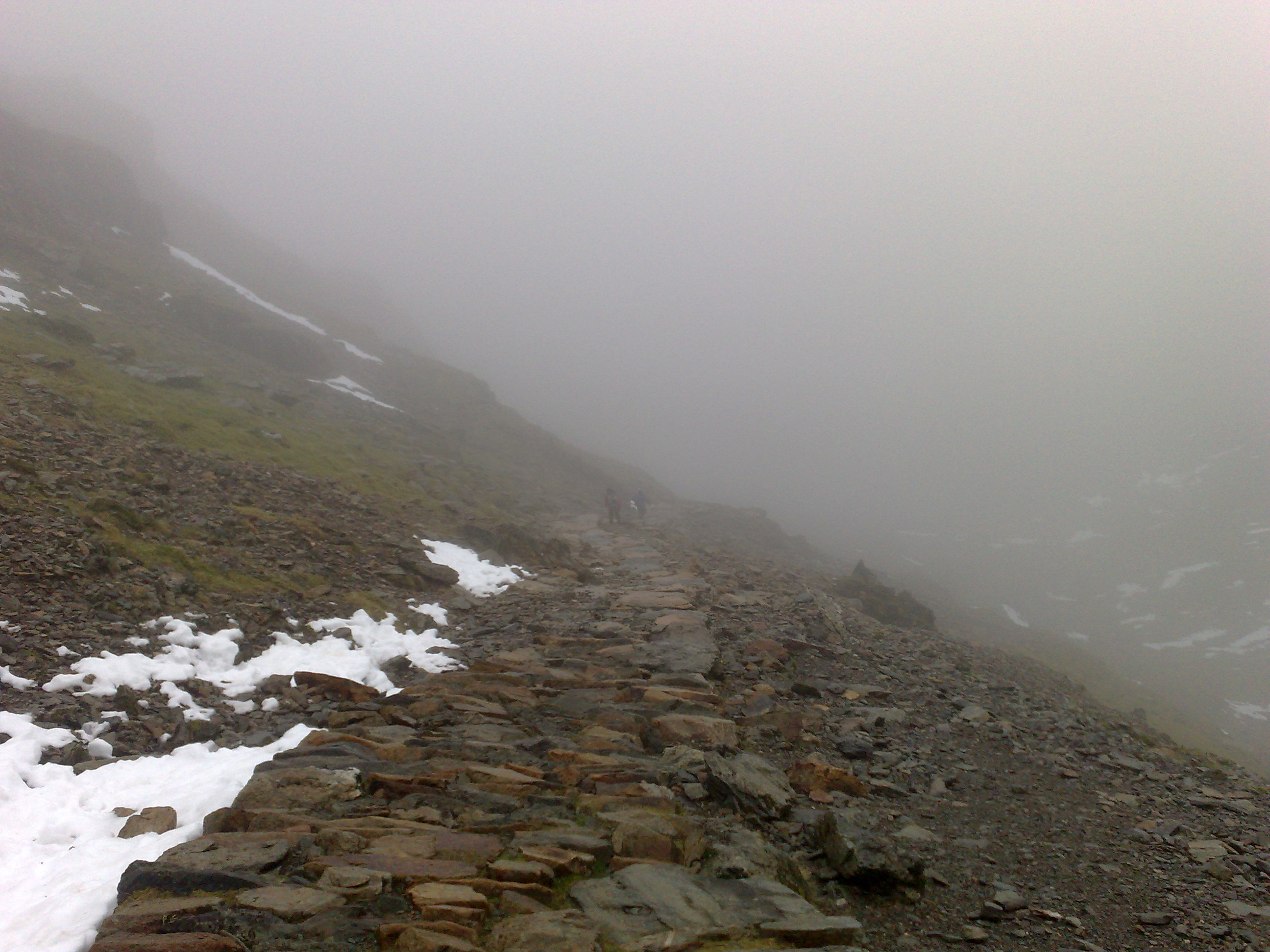
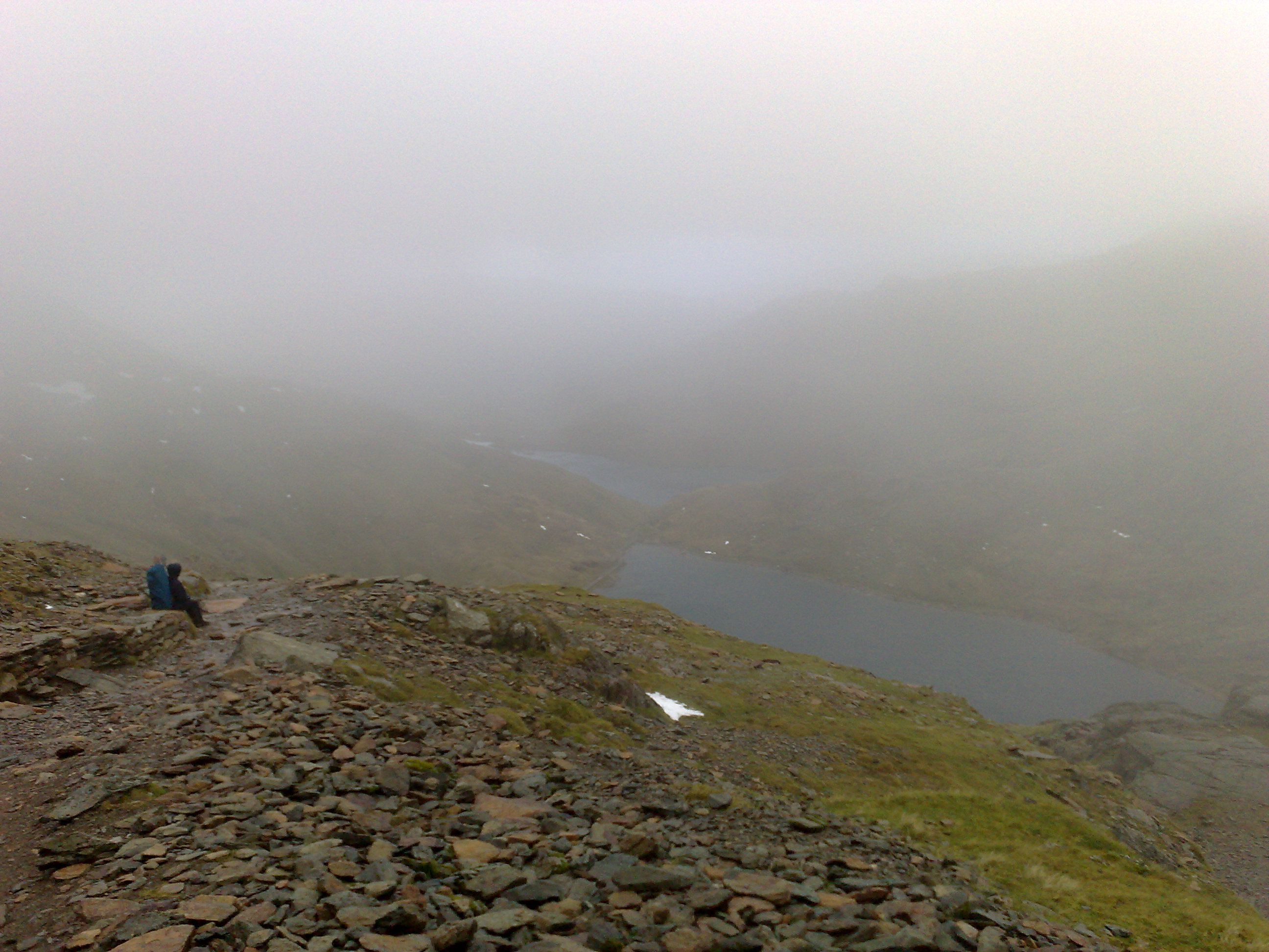
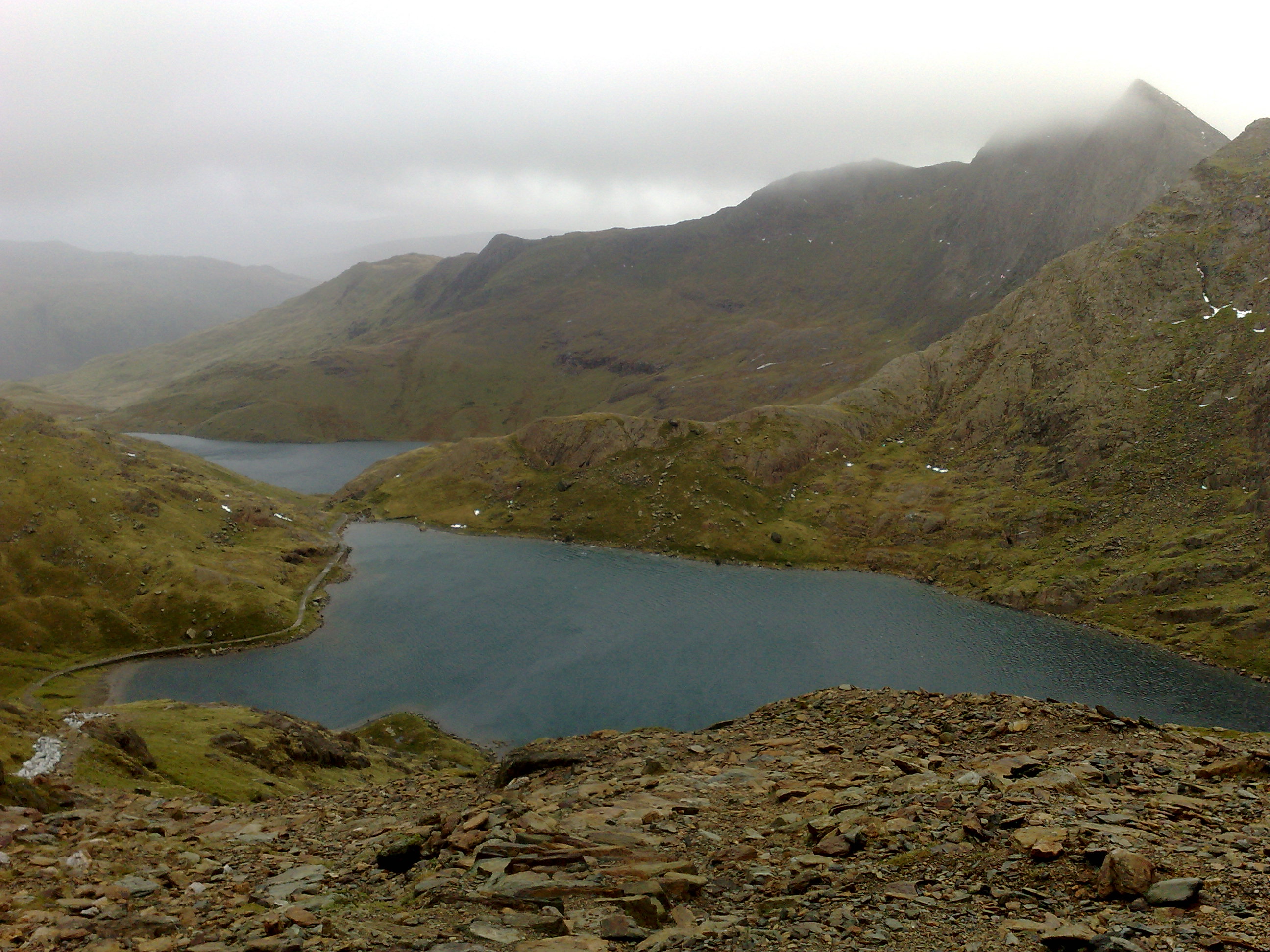
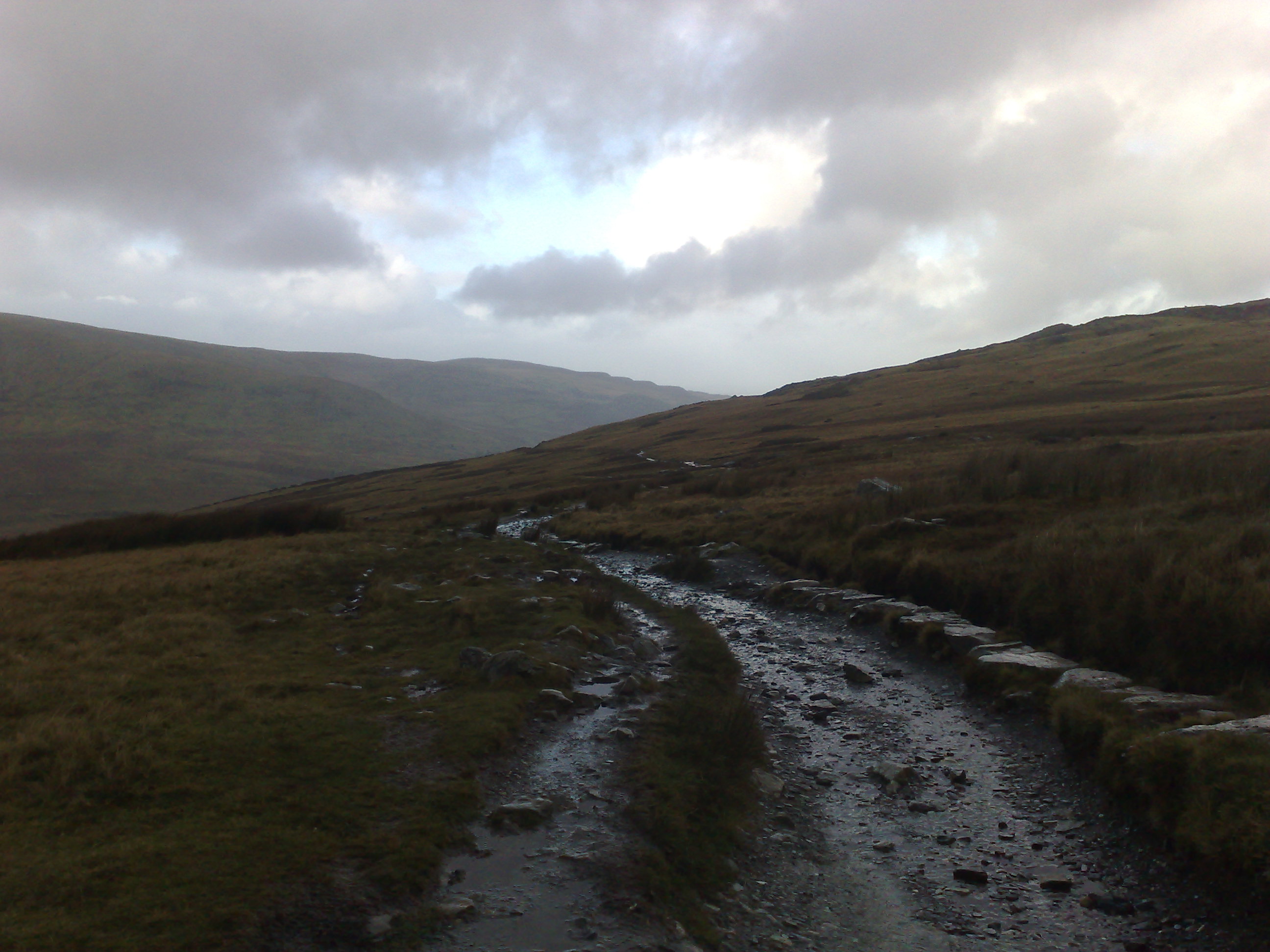
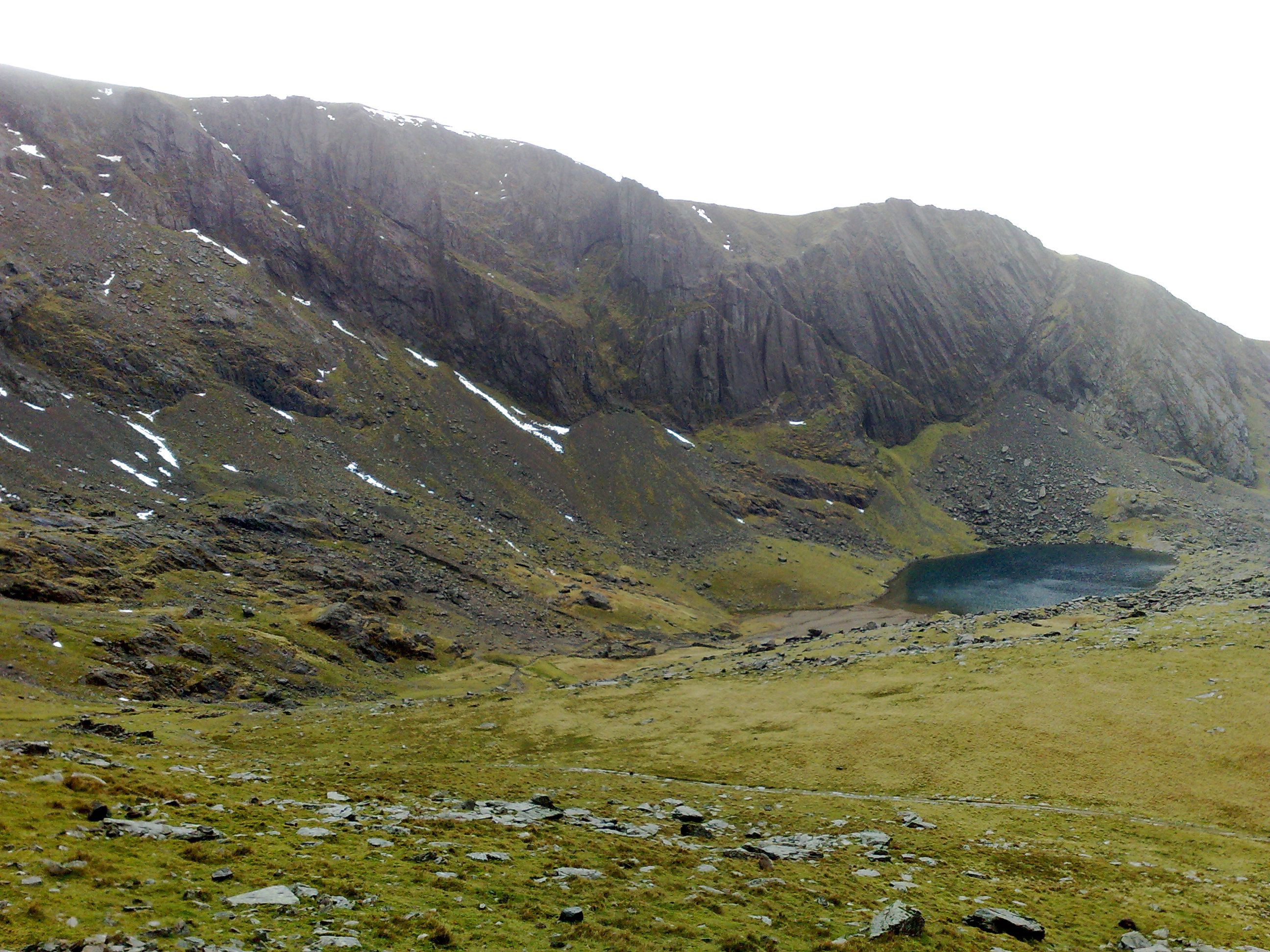
The 'Miner's track' is a more scenic route than the 'Llanberis path', certainly more rugged. The initial bit the top, the first mile just drops down very steeply.